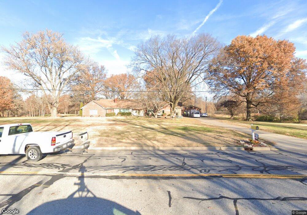
310 W Airline Dr East Alton, IL 62024
Estimated Value: $260,000 - $392,000
4
Beds
3
Baths
2,682
Sq Ft
$128/Sq Ft
Est. Value
About This Home
This home is located at 310 W Airline Dr, East Alton, IL 62024 and is currently estimated at $344,083, approximately $128 per square foot. 310 W Airline Dr is a home located in Madison County with nearby schools including Eastwood Elementary School, East Alton Middle School, and East Alton-Wood River High School.
Ownership History
Date
Name
Owned For
Owner Type
Purchase Details
Closed on
Jul 30, 2019
Sold by
Foiles Stanley and Foiles Karen S
Bought by
Foiles Trust
Current Estimated Value
Purchase Details
Closed on
Mar 14, 2019
Sold by
Wineland Lp
Bought by
Foiles Stanley and Foiles Karen
Purchase Details
Closed on
Jun 11, 2018
Sold by
Wineland Lp and Foiles Stanley
Bought by
Foiles Stanley and Foiles Karen
Purchase Details
Closed on
Nov 24, 2014
Sold by
The Spencer Q Smith Trust
Bought by
Foiles Stanley and Foiles Karen
Create a Home Valuation Report for This Property
The Home Valuation Report is an in-depth analysis detailing your home's value as well as a comparison with similar homes in the area
Home Values in the Area
Average Home Value in this Area
Purchase History
| Date | Buyer | Sale Price | Title Company |
|---|---|---|---|
| Foiles Trust | -- | None Available | |
| Foiles Stanley | $22,000 | None Available | |
| Foiles Stanley | -- | None Available | |
| Foiles Stanley | $6,000 | None Available |
Source: Public Records
Tax History Compared to Growth
Tax History
| Year | Tax Paid | Tax Assessment Tax Assessment Total Assessment is a certain percentage of the fair market value that is determined by local assessors to be the total taxable value of land and additions on the property. | Land | Improvement |
|---|---|---|---|---|
| 2024 | $9,154 | $101,860 | $15,300 | $86,560 |
| 2023 | $9,154 | $94,950 | $14,260 | $80,690 |
| 2022 | $8,612 | $87,630 | $13,160 | $74,470 |
| 2021 | $7,999 | $81,680 | $12,270 | $69,410 |
| 2020 | $7,712 | $78,670 | $11,820 | $66,850 |
| 2019 | $7,601 | $76,330 | $11,470 | $64,860 |
| 2018 | $8,032 | $72,540 | $10,900 | $61,640 |
| 2017 | $7,646 | $70,810 | $10,640 | $60,170 |
| 2016 | $7,423 | $70,810 | $10,640 | $60,170 |
| 2015 | $6,954 | $70,060 | $10,530 | $59,530 |
| 2014 | $6,954 | $68,780 | $8,530 | $60,250 |
| 2013 | $6,954 | $69,770 | $8,650 | $61,120 |
Source: Public Records
Map
Nearby Homes
- 250 Hi Pointe Place
- 283 Hi Pointe Place
- 604 Wood River Ave
- 141 S 9th St
- 144 S 9th St
- 211 S 9th St
- 14 Dell Ave
- 345 Illinois Ave
- 225 Lakeside Ave
- 523 Lincoln Ave
- 104 Whitelaw Ave
- 121 Whitelaw Ave
- 420 Bowman Ave
- 959 Cedar Dr
- 98 Wood River Ave
- 133 Lincoln Ave
- 523 Wilson Ave
- 523 Broadway
- 417 California Ave
- 519 Sullivan St
- 262 W Airline Dr
- 296 W Haller Dr
- 264 W Airline Dr
- 285 W Airline Dr
- 277 W Airline Dr
- 319 W Airline Dr
- 263 W Airline Dr
- 297 W Haller Dr
- 292 W Haller Dr
- 251 W Airline Dr
- 260 W Airline Dr
- 288 W Haller Dr
- 276 W Haller Dr
- 109 Willoway Ave
- 249 W Airline Dr
- 293 W Haller Dr
- 241 W Airline Dr
- 264 W Haller Dr
- 842 Berkshire Blvd
- 838 Willoway Ave