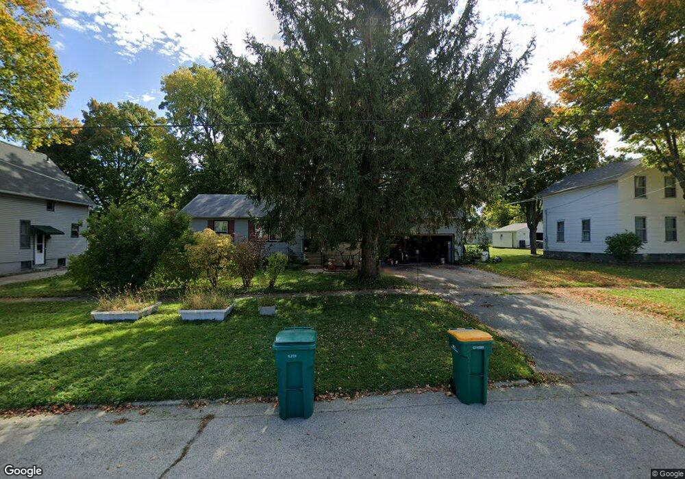
310 W Boone St Belvidere, IL 61008
Estimated Value: $167,783 - $181,000
3
Beds
1
Bath
1,144
Sq Ft
$153/Sq Ft
Est. Value
About This Home
This home is located at 310 W Boone St, Belvidere, IL 61008 and is currently estimated at $174,946, approximately $152 per square foot. 310 W Boone St is a home located in Boone County with nearby schools including Perry Elementary School, Belvidere Central Middle School, and Belvidere North High School.
Ownership History
Date
Name
Owned For
Owner Type
Purchase Details
Closed on
Mar 15, 2017
Sold by
Robert Graves and Robert Tracy
Bought by
Jacob Benjamin and Jacob Sonja Benjamin
Current Estimated Value
Home Financials for this Owner
Home Financials are based on the most recent Mortgage that was taken out on this home.
Original Mortgage
$100,725
Outstanding Balance
$83,518
Interest Rate
4.08%
Estimated Equity
$91,428
Purchase Details
Closed on
Sep 17, 2001
Bought by
Benjamin Jacob and Benjamin Sonja
Create a Home Valuation Report for This Property
The Home Valuation Report is an in-depth analysis detailing your home's value as well as a comparison with similar homes in the area
Home Values in the Area
Average Home Value in this Area
Purchase History
| Date | Buyer | Sale Price | Title Company |
|---|---|---|---|
| Jacob Benjamin | -- | Northland Title Llc | |
| Benjamin Jacob | $111,500 | -- |
Source: Public Records
Mortgage History
| Date | Status | Borrower | Loan Amount |
|---|---|---|---|
| Open | Jacob Benjamin | $100,725 | |
| Closed | Jacob Benjamin | $110,512 | |
| Closed | Jacob Benjamin | $5,692 |
Source: Public Records
Tax History Compared to Growth
Tax History
| Year | Tax Paid | Tax Assessment Tax Assessment Total Assessment is a certain percentage of the fair market value that is determined by local assessors to be the total taxable value of land and additions on the property. | Land | Improvement |
|---|---|---|---|---|
| 2024 | $3,178 | $42,764 | $4,724 | $38,040 |
| 2023 | $3,178 | $40,049 | $7,473 | $32,576 |
| 2022 | $3,013 | $37,107 | $7,473 | $29,634 |
| 2021 | $2,856 | $35,425 | $7,473 | $27,952 |
| 2020 | $2,732 | $32,493 | $7,903 | $24,590 |
| 2019 | $2,597 | $54,309 | $31,611 | $22,698 |
| 2018 | $2,222 | $104,498 | $86,276 | $18,222 |
| 2017 | $2,165 | $26,454 | $8,295 | $18,159 |
| 2016 | $2,063 | $24,595 | $8,160 | $16,435 |
| 2015 | $1,918 | $22,810 | $10,200 | $12,610 |
| 2014 | $620 | $22,810 | $10,200 | $12,610 |
Source: Public Records
Map
Nearby Homes
- 305 W Perry St
- 336 W Menomonie St
- 315 W Hurlbut Ave
- 412 W Madison St
- 551 W Menomonie St
- 308 W Marshall St
- 320 E Hurlbut Ave
- 421 Franklin St
- 928 Berylan St
- 821 W Perry St
- 514 Garden Dr
- 601 Pearl St
- 427 Rebecca Rd
- 1025 W Lincoln Ave
- 522 S State St
- 711 Garfield Ave
- 407 Allen St
- 611 Buchanan St
- 924 Pearl St
- 513 Church St