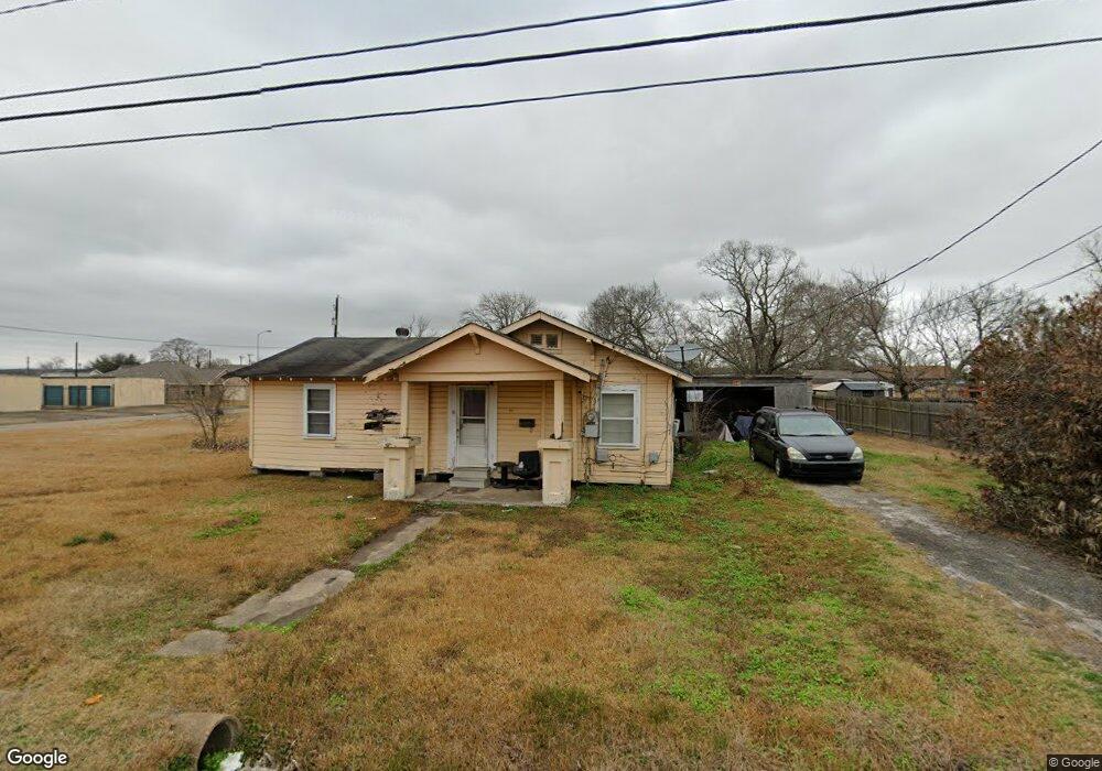
310 W Polk St La Porte, TX 77571
Estimated Value: $164,000 - $317,000
3
Beds
2
Baths
1,980
Sq Ft
$105/Sq Ft
Est. Value
About This Home
This home is located at 310 W Polk St, La Porte, TX 77571 and is currently estimated at $208,471, approximately $105 per square foot. 310 W Polk St is a home located in Harris County with nearby schools including La Porte Elementary School, La Porte Junior High School, and La Porte High School.
Ownership History
Date
Name
Owned For
Owner Type
Purchase Details
Closed on
Oct 1, 2024
Sold by
Rios Arnoldo
Bought by
Lampasas Nicholas
Current Estimated Value
Home Financials for this Owner
Home Financials are based on the most recent Mortgage that was taken out on this home.
Original Mortgage
$255,999
Outstanding Balance
$253,363
Interest Rate
6.46%
Mortgage Type
New Conventional
Estimated Equity
-$44,892
Purchase Details
Closed on
Sep 12, 2022
Sold by
Clyde Trier Ashton
Bought by
Rios Arnoldo
Create a Home Valuation Report for This Property
The Home Valuation Report is an in-depth analysis detailing your home's value as well as a comparison with similar homes in the area
Home Values in the Area
Average Home Value in this Area
Purchase History
| Date | Buyer | Sale Price | Title Company |
|---|---|---|---|
| Lampasas Nicholas | -- | South Land Title Company | |
| Rios Arnoldo | -- | -- |
Source: Public Records
Mortgage History
| Date | Status | Borrower | Loan Amount |
|---|---|---|---|
| Open | Lampasas Nicholas | $255,999 |
Source: Public Records
Tax History Compared to Growth
Tax History
| Year | Tax Paid | Tax Assessment Tax Assessment Total Assessment is a certain percentage of the fair market value that is determined by local assessors to be the total taxable value of land and additions on the property. | Land | Improvement |
|---|---|---|---|---|
| 2025 | $1,721 | $340,609 | $75,000 | $265,609 |
| 2024 | $1,721 | $70,313 | $70,313 | -- |
| 2023 | $1,721 | $148,220 | $93,750 | $54,470 |
| 2022 | $1,951 | $119,428 | $65,625 | $53,803 |
| 2021 | $1,816 | $91,085 | $59,375 | $31,710 |
| 2020 | $1,690 | $76,634 | $46,875 | $29,759 |
| 2019 | $1,602 | $72,736 | $43,750 | $28,986 |
| 2018 | $0 | $59,429 | $32,500 | $26,929 |
| 2017 | $1,344 | $45,709 | $23,125 | $22,584 |
| 2016 | $1,222 | $41,448 | $20,000 | $21,448 |
| 2015 | -- | $42,312 | $20,000 | $22,312 |
| 2014 | -- | $42,312 | $20,000 | $22,312 |
Source: Public Records
Map
Nearby Homes
- 114 Dr Martin Luther King jr Dr
- 0 N 1st Ave
- 0 Broadway Unit 47596766
- 111 N 6th St
- 418 Dr Martin Luther King jr Dr
- 123 S Virginia St
- 422 N 7th St
- 131 S Virginia St
- 135 S Virginia St
- 216 San Jacinto St
- 525 N 1st St
- 314 E Main St
- 514 N 6th St
- 208 S 7th St
- 508 N 7th St
- 301 S Virginia St
- 626 N 1st St
- 416 S 1st St
- 317 San Jacinto St
- 0 State Highway 146 Unit 37401828