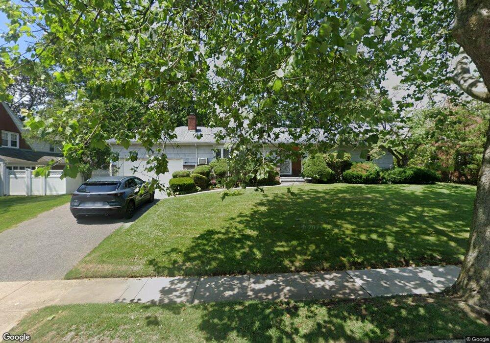
310 W Seaman Ave Freeport, NY 11520
Estimated Value: $651,393 - $688,000
--
Bed
2
Baths
1,678
Sq Ft
$399/Sq Ft
Est. Value
About This Home
This home is located at 310 W Seaman Ave, Freeport, NY 11520 and is currently estimated at $669,697, approximately $399 per square foot. 310 W Seaman Ave is a home located in Nassau County with nearby schools including Baldwin Senior High School and Roosevelt Children's Academy.
Ownership History
Date
Name
Owned For
Owner Type
Purchase Details
Closed on
Jun 7, 2023
Sold by
Helberg Deidre and Helberg Steven
Bought by
Wells Fargo Bank National Association and Merrill Lynch Mtg Invr Tr Mtg Loan Ass
Current Estimated Value
Purchase Details
Closed on
Mar 31, 1999
Sold by
Davis Yvonne
Bought by
Helberg Steven and Helberg Deidre
Create a Home Valuation Report for This Property
The Home Valuation Report is an in-depth analysis detailing your home's value as well as a comparison with similar homes in the area
Home Values in the Area
Average Home Value in this Area
Purchase History
| Date | Buyer | Sale Price | Title Company |
|---|---|---|---|
| Wells Fargo Bank National Association | $537,885 | None Available | |
| Wells Fargo Bank National Association | $537,885 | None Available | |
| Helberg Steven | $227,000 | -- | |
| Helberg Steven | $227,000 | -- |
Source: Public Records
Tax History Compared to Growth
Tax History
| Year | Tax Paid | Tax Assessment Tax Assessment Total Assessment is a certain percentage of the fair market value that is determined by local assessors to be the total taxable value of land and additions on the property. | Land | Improvement |
|---|---|---|---|---|
| 2025 | $10,453 | $419 | $179 | $240 |
| 2024 | $957 | $419 | $179 | $240 |
| 2023 | $9,129 | $419 | $179 | $240 |
| 2022 | $9,129 | $419 | $179 | $240 |
| 2021 | $13,784 | $407 | $174 | $233 |
| 2020 | $10,157 | $747 | $457 | $290 |
| 2019 | $10,305 | $747 | $457 | $290 |
| 2018 | $9,637 | $747 | $0 | $0 |
| 2017 | $7,494 | $747 | $457 | $290 |
| 2016 | $8,615 | $747 | $457 | $290 |
| 2015 | $1,079 | $747 | $457 | $290 |
| 2014 | $1,079 | $747 | $457 | $290 |
| 2013 | $1,020 | $747 | $457 | $290 |
Source: Public Records
Map
Nearby Homes
- 215 N Brookside Ave
- 345 W Seaman Ave
- 154 California Ave
- 142 Maryland Ave
- 89 Delaware Ave
- 107 California Ave
- 1 Willowbrook Ln
- 1850 Voshage St
- 858 Seaman Ave E
- 174 Delaware Ave
- 254 Lena Ave
- 139 New York Ave
- 15 Mckenna Ave
- 36 New York Ave
- 2100 Ambrose Ct
- 6 New York Ave
- 21 Connecticut Ave
- 86 N Bayview Ave
- 2 Twain St
- 187 Moore Ave
- 234 N Brookside Ave
- 318 W Seaman Ave
- 308 W Seaman Ave
- 113 Virginia Ave
- 242 N Brookside Ave
- 309 W Seaman Ave
- 315 W Seaman Ave
- 117 Virginia Ave
- 244 N Brookside Ave
- 305 W Seaman Ave
- 123 Virginia Ave
- 325 W Seaman Ave
- 235 N Brookside Ave
- 241 N Brookside Ave
- 231 N Brookside Ave
- 14 Milburn Ct
- 110 Virginia Ave
- 181 California Ave
- 114 Virginia Ave
- 334 W Seaman Ave