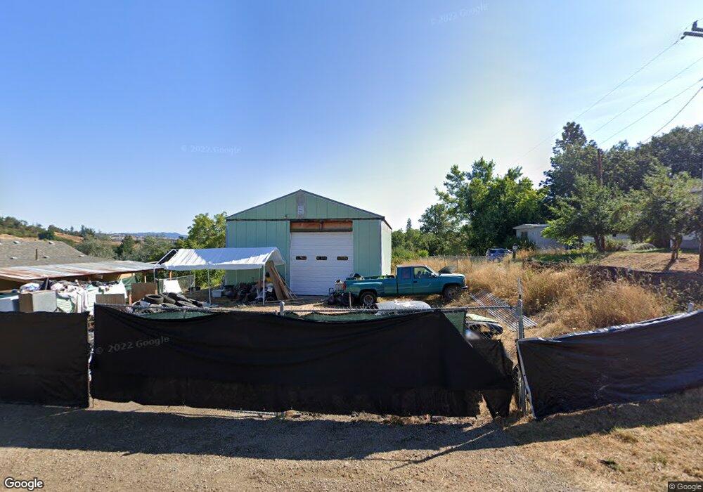
310 Wells Rd Oakland, OR 97462
Estimated Value: $291,000 - $344,000
3
Beds
1
Bath
1,258
Sq Ft
$253/Sq Ft
Est. Value
About This Home
This home is located at 310 Wells Rd, Oakland, OR 97462 and is currently estimated at $318,162, approximately $252 per square foot. 310 Wells Rd is a home located in Douglas County with nearby schools including Oakland Elementary School, Lincoln Middle School, and Oakland High School.
Ownership History
Date
Name
Owned For
Owner Type
Purchase Details
Closed on
Apr 7, 2023
Sold by
Briggs Kendall M
Bought by
Schaefer Tammy
Current Estimated Value
Purchase Details
Closed on
Mar 30, 2023
Sold by
Young Gail Le
Bought by
Briggs Kendall
Purchase Details
Closed on
Dec 13, 2022
Sold by
Keesling John Everett
Bought by
Young Gail and Briggs Kendall
Purchase Details
Closed on
Apr 16, 2014
Sold by
Crager Peggy Joyce
Bought by
Keesling John E
Home Financials for this Owner
Home Financials are based on the most recent Mortgage that was taken out on this home.
Original Mortgage
$150,000
Interest Rate
4.23%
Mortgage Type
VA
Create a Home Valuation Report for This Property
The Home Valuation Report is an in-depth analysis detailing your home's value as well as a comparison with similar homes in the area
Home Values in the Area
Average Home Value in this Area
Purchase History
| Date | Buyer | Sale Price | Title Company |
|---|---|---|---|
| Schaefer Tammy | $270,000 | -- | |
| Briggs Kendall | -- | Accommodation/Courtesy Recordi | |
| Young Gail | $168,200 | First American Title | |
| Keesling John E | $150,000 | First American Title |
Source: Public Records
Mortgage History
| Date | Status | Borrower | Loan Amount |
|---|---|---|---|
| Previous Owner | Keesling John E | $150,000 |
Source: Public Records
Tax History Compared to Growth
Tax History
| Year | Tax Paid | Tax Assessment Tax Assessment Total Assessment is a certain percentage of the fair market value that is determined by local assessors to be the total taxable value of land and additions on the property. | Land | Improvement |
|---|---|---|---|---|
| 2024 | $2,117 | $140,504 | -- | -- |
| 2023 | $1,747 | $122,778 | $0 | $0 |
| 2022 | $1,510 | $106,115 | $0 | $0 |
| 2021 | $1,101 | $74,975 | $0 | $0 |
| 2020 | $1,070 | $72,795 | $0 | $0 |
| 2019 | $1,040 | $70,672 | $0 | $0 |
| 2018 | $1,011 | $68,614 | $0 | $0 |
| 2017 | $1,009 | $66,618 | $0 | $0 |
| 2016 | $971 | $64,682 | $0 | $0 |
Source: Public Records
Map
Nearby Homes
- 0 Locust St
- 134 SE 5th St
- 800 SE 5th St
- 413 SE Pear St
- 1858 Old Town Loop Rd
- 312 SE Front St
- 411 NE 1st St
- 106 Green Valley Rd
- 839 Union Gap Loop Rd
- 402 Northside Rd
- 1980 E Sixth Ave
- 276 Union Gap Loop Rd
- 660 Jade St
- 249 Union Gap Loop Rd
- 1762 E Fourth Ave
- 1545 E Fourth Ave
- 1175 Northside Rd
- 1234 E Fourth Ave
- 689 Sherwood Dr
- 642 Terrace Ln