Estimated Value: $414,000 - $605,000
--
Bed
--
Bath
1,251
Sq Ft
$425/Sq Ft
Est. Value
About This Home
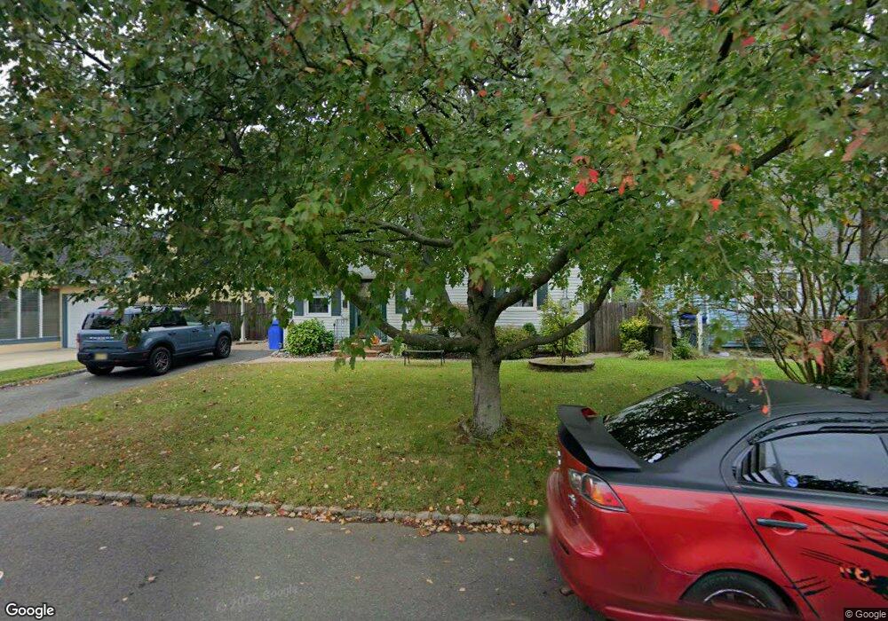
This home is located at 310 West Ln, Clark, NJ 07066 and is currently estimated at $531,528, approximately $424 per square foot. 310 West Ln is a home located in Union County with nearby schools including Valley Road Elementary School, Carl H. Kumpf Middle School, and Arthur L. Johnson High School.
Ownership History
Date
Name
Owned For
Owner Type
Purchase Details
Closed on
Sep 1, 2021
Sold by
Hennessey Lisa
Bought by
Hennessey Lisa
Current Estimated Value
Home Financials for this Owner
Home Financials are based on the most recent Mortgage that was taken out on this home.
Original Mortgage
$309,000
Interest Rate
6.33%
Mortgage Type
New Conventional
Purchase Details
Closed on
Aug 12, 2005
Sold by
Brown Carl S
Bought by
Hennessey Lisa and Garbinski Michael
Home Financials for this Owner
Home Financials are based on the most recent Mortgage that was taken out on this home.
Original Mortgage
$288,000
Interest Rate
5.66%
Mortgage Type
New Conventional
Purchase Details
Closed on
Jul 2, 2002
Sold by
Gallagher Joan and Laden Elizabeth
Bought by
Brown Carl S and Craig Jennifer L
Home Financials for this Owner
Home Financials are based on the most recent Mortgage that was taken out on this home.
Original Mortgage
$205,000
Interest Rate
6.64%
Create a Home Valuation Report for This Property
The Home Valuation Report is an in-depth analysis detailing your home's value as well as a comparison with similar homes in the area
Home Values in the Area
Average Home Value in this Area
Purchase History
| Date | Buyer | Sale Price | Title Company |
|---|---|---|---|
| Hennessey Lisa | $20,000 | Amrock | |
| Hennessey Lisa | $20,000 | Amrock | |
| Hennessey Lisa | $360,000 | -- | |
| Brown Carl S | $230,000 | -- |
Source: Public Records
Mortgage History
| Date | Status | Borrower | Loan Amount |
|---|---|---|---|
| Previous Owner | Hennessey Lisa | $309,000 | |
| Previous Owner | Hennessey Lisa | $288,000 | |
| Previous Owner | Brown Carl S | $205,000 |
Source: Public Records
Tax History Compared to Growth
Tax History
| Year | Tax Paid | Tax Assessment Tax Assessment Total Assessment is a certain percentage of the fair market value that is determined by local assessors to be the total taxable value of land and additions on the property. | Land | Improvement |
|---|---|---|---|---|
| 2025 | $8,229 | $371,700 | $226,400 | $145,300 |
| 2024 | $8,107 | $371,700 | $226,400 | $145,300 |
| 2023 | $8,107 | $371,700 | $226,400 | $145,300 |
| 2022 | $7,873 | $371,700 | $226,400 | $145,300 |
| 2021 | $7,414 | $83,400 | $40,000 | $43,400 |
| 2020 | $7,293 | $83,400 | $40,000 | $43,400 |
| 2019 | $7,220 | $83,400 | $40,000 | $43,400 |
| 2018 | $7,133 | $83,400 | $40,000 | $43,400 |
| 2017 | $7,019 | $83,400 | $40,000 | $43,400 |
| 2016 | $6,760 | $83,400 | $40,000 | $43,400 |
| 2015 | $6,692 | $83,400 | $40,000 | $43,400 |
| 2014 | $6,551 | $83,400 | $40,000 | $43,400 |
Source: Public Records
Map
Nearby Homes
- 275 Valley Rd
- 325 West Ln
- 331 West Ln
- 5 Sycamore Rd
- 2 Autumn Ave
- 52 Skylark Place
- 65 Colonial Dr
- 33 Sunset Dr
- 27 Grand St
- 25 Poplar Terrace
- 783 Riverbend Dr
- 157 Westfield Ave
- 22 Sunset Dr
- 565 Valley Rd
- 1 Crestwood Ln
- 12 Bartell Place
- 1717 Crescent Pkwy
- 30 Brant Ave
- 2316 Old Grove Rd
- 22 Washington St