310 Zion Hill Rd Weatherford, TX 76088
Estimated Value: $402,000
--
Bed
--
Bath
900
Sq Ft
$447/Sq Ft
Est. Value
About This Home
This home is located at 310 Zion Hill Rd, Weatherford, TX 76088 and is currently estimated at $402,000, approximately $446 per square foot. 310 Zion Hill Rd is a home located in Parker County with nearby schools including Seguin Elementary School, Tison Middle School, and Weatherford High School.
Ownership History
Date
Name
Owned For
Owner Type
Purchase Details
Closed on
Apr 12, 2016
Sold by
Hindman Overton Effie E
Bought by
Hindman Jonathan M
Current Estimated Value
Purchase Details
Closed on
Jan 31, 2016
Sold by
Floyd Melvin Joe
Bought by
2016 Revocable Trust
Purchase Details
Closed on
Jul 22, 1994
Bought by
2016 Revocable Trust
Purchase Details
Closed on
Jun 27, 1986
Bought by
2016 Revocable Trust
Create a Home Valuation Report for This Property
The Home Valuation Report is an in-depth analysis detailing your home's value as well as a comparison with similar homes in the area
Home Values in the Area
Average Home Value in this Area
Purchase History
| Date | Buyer | Sale Price | Title Company |
|---|---|---|---|
| Hindman Jonathan M | -- | Attorney | |
| 2016 Revocable Trust | -- | -- | |
| 2016 Revocable Trust | -- | -- | |
| 2016 Revocable Trust | -- | -- |
Source: Public Records
Tax History Compared to Growth
Tax History
| Year | Tax Paid | Tax Assessment Tax Assessment Total Assessment is a certain percentage of the fair market value that is determined by local assessors to be the total taxable value of land and additions on the property. | Land | Improvement |
|---|---|---|---|---|
| 2025 | $767 | $20,240 | -- | -- |
| 2024 | $767 | $45,470 | $37,900 | $7,570 |
| 2023 | $767 | $45,470 | $37,900 | $7,570 |
| 2022 | $868 | $37,450 | $29,880 | $7,570 |
| 2021 | $937 | $37,450 | $29,880 | $7,570 |
| 2020 | $795 | $31,600 | $24,030 | $7,570 |
| 2019 | $839 | $31,600 | $24,030 | $7,570 |
| 2018 | $674 | $25,290 | $17,720 | $7,570 |
| 2017 | $691 | $25,290 | $17,720 | $7,570 |
| 2016 | $603 | $22,090 | $14,520 | $7,570 |
| 2015 | $569 | $22,090 | $14,520 | $7,570 |
| 2014 | $513 | $20,410 | $12,840 | $7,570 |
Source: Public Records
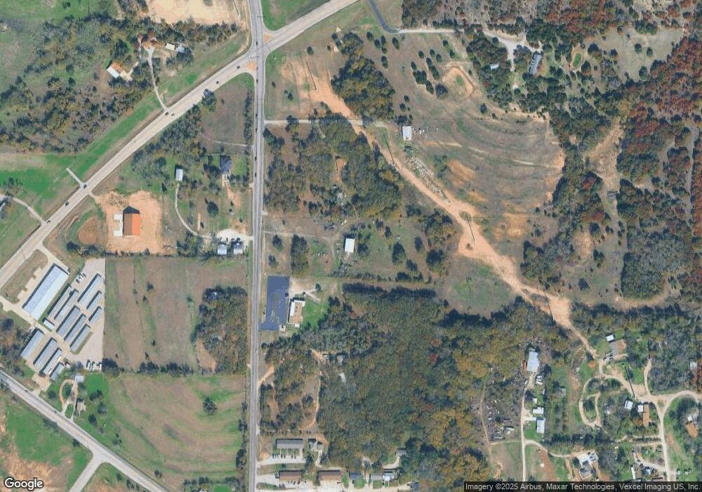
Map
Nearby Homes
- 104 Lagrange Ct
- 522 W 7th St
- 2020 Vanderbilt Dr
- 1425 N Bowie Dr
- 2000 Vanderbilt Dr
- 2016 Vanderbilt Dr
- 2117 Pepperdine Dr
- Lot 11 Pepperdine Dr
- Lot 12 Pepperdine Dr
- Lot 10 Pepperdine Dr
- 1813 Roadrunner Dr
- 1727 N Main St
- 1616 Oliver St
- 1613 Franklin St
- 105 Oxford Ct
- 2124 Pepperdine Dr
- 107 Hall St
- 125 Odel Dr
- 905 Zion Hill Rd
- 1713 N Main St
- 410 Zion Hill Rd
- 210 Zion Hill Rd
- 405 Zion Hill Rd
- 215 Zion Hill Rd
- 215 Zion Hill Rd
- 215 Zion Hill Rd
- 215 Zion Hill Rd
- 215 Zion Hill Rd
- 125 Henigan Ct
- 125 Henigan Ct
- 111 Henigan Ct
- 1798 Ric Williamson Memoria Hwy
- 101 Effie Ln Unit 103
- 101 Effie Ln
- 0 Ric Williamson Memorial Hwy
- 127 May Ct
- 131 May Ct
- 129 May Ct
- 125 May Ct
- 135 May Ct