3100 Tyrell Rd Owosso, MI 48867
Estimated Value: $265,000 - $287,784
3
Beds
2
Baths
1,240
Sq Ft
$224/Sq Ft
Est. Value
About This Home
This home is located at 3100 Tyrell Rd, Owosso, MI 48867 and is currently estimated at $277,696, approximately $223 per square foot. 3100 Tyrell Rd is a home located in Shiawassee County with nearby schools including Perry Elementary School, Perry Middle School, and Perry High School.
Ownership History
Date
Name
Owned For
Owner Type
Purchase Details
Closed on
May 19, 2010
Sold by
Birkenbach Mark
Bought by
Mccoy Diana M
Current Estimated Value
Home Financials for this Owner
Home Financials are based on the most recent Mortgage that was taken out on this home.
Original Mortgage
$120,000
Outstanding Balance
$80,785
Interest Rate
5.14%
Mortgage Type
Purchase Money Mortgage
Estimated Equity
$196,911
Purchase Details
Closed on
Sep 19, 2003
Sold by
Birkenbach Mark and Birkenbach Mark F
Bought by
Birkenbach Mark
Create a Home Valuation Report for This Property
The Home Valuation Report is an in-depth analysis detailing your home's value as well as a comparison with similar homes in the area
Purchase History
| Date | Buyer | Sale Price | Title Company |
|---|---|---|---|
| Mccoy Diana M | $150,000 | -- | |
| Birkenbach Mark | -- | Title Source |
Source: Public Records
Mortgage History
| Date | Status | Borrower | Loan Amount |
|---|---|---|---|
| Open | Mccoy Diana M | $120,000 |
Source: Public Records
Tax History
| Year | Tax Paid | Tax Assessment Tax Assessment Total Assessment is a certain percentage of the fair market value that is determined by local assessors to be the total taxable value of land and additions on the property. | Land | Improvement |
|---|---|---|---|---|
| 2025 | $2,850 | $118,800 | $0 | $0 |
| 2024 | $2,696 | $109,500 | $0 | $0 |
| 2023 | $1,290 | $101,700 | $0 | $0 |
| 2022 | $1,228 | $94,200 | $0 | $0 |
| 2021 | $2,389 | $89,700 | $0 | $0 |
| 2020 | $2,381 | $88,500 | $0 | $0 |
| 2019 | $2,330 | $77,900 | $0 | $0 |
| 2018 | $2,279 | $76,100 | $0 | $0 |
| 2017 | $2,087 | $72,100 | $0 | $0 |
| 2016 | -- | $72,100 | $0 | $0 |
| 2015 | -- | $70,100 | $0 | $0 |
| 2014 | $11 | $67,500 | $0 | $0 |
Source: Public Records
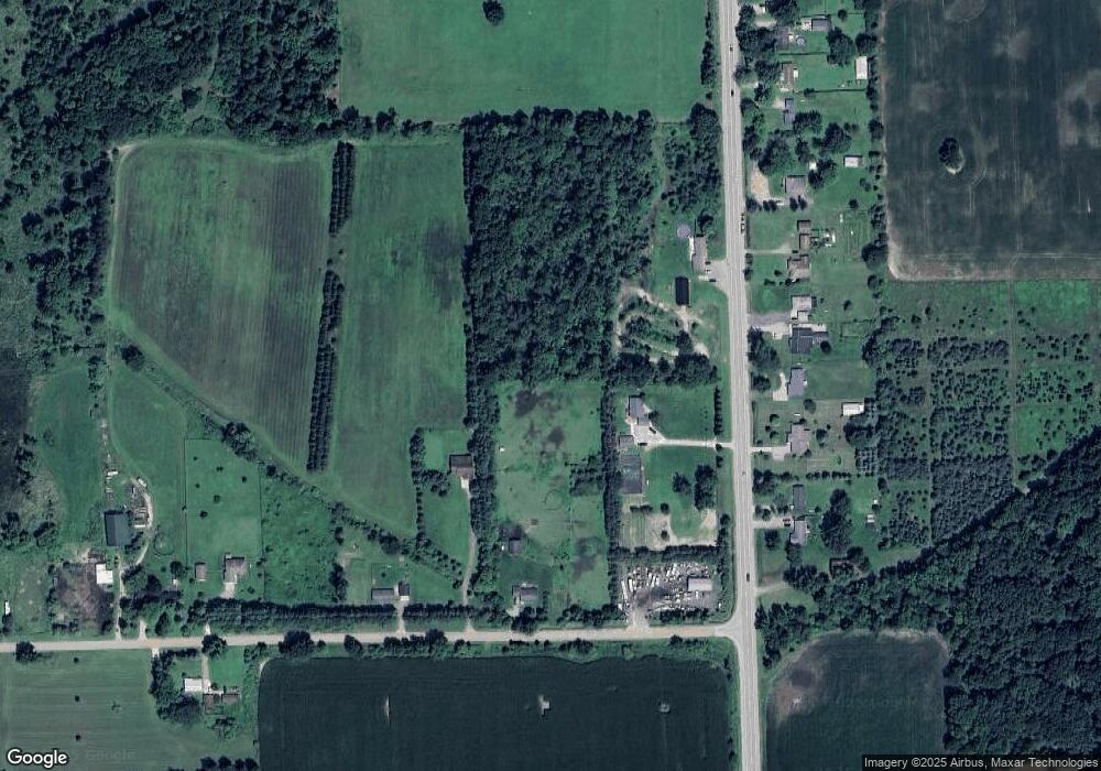
Map
Nearby Homes
- 7697 Riverview St
- 3062 Innsbrook Dr
- 122 Innsbrook Dr
- Vacant Land Tyrrell Rd
- 3287 Oakview Dr
- V/l W Tyrrell Rd
- 38 Bennington Greens
- 54 Bennington Greens Dr
- 20 Bennington Greens Dr
- 26 Bennington Greens Dr Unit 26
- 24 Bennington Greens Dr
- 14 Bennington Greens Dr
- 25 Bennington Greens Dr
- 38 Bennington Greens Dr
- 8993 S Morrice Rd
- 10980 S M 52
- 0 E Lansing Rd
- 00 W Riverview Dr
- 1100 W Lansing Rd
- 612 Launch Point Dr
Your Personal Tour Guide
Ask me questions while you tour the home.