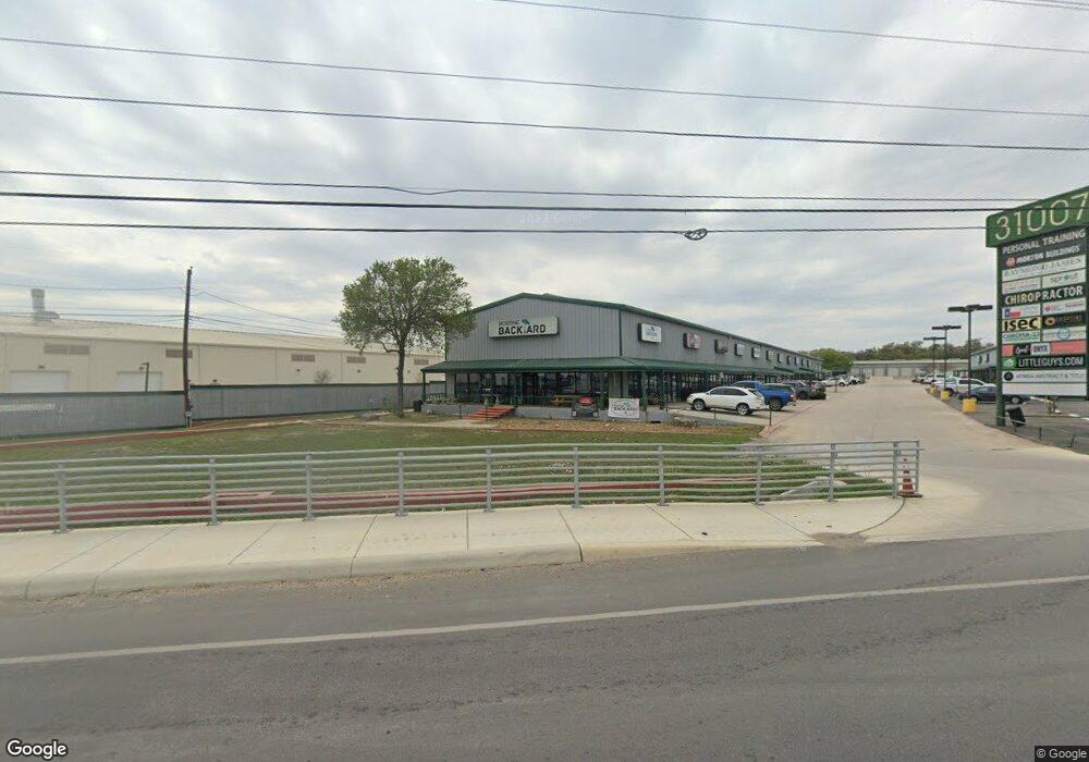
31007 Interstate 10 W Unit 116 Boerne, TX 78006
--
Bed
--
Bath
1,500
Sq Ft
4
Acres
About This Home
This home is located at 31007 Interstate 10 W Unit 116, Boerne, TX 78006. 31007 Interstate 10 W Unit 116 is a home located in Kendall County with nearby schools including Kendall Elementary School, Boerne Middle School South, and Samuel V. Champion High School.
Ownership History
Date
Name
Owned For
Owner Type
Purchase Details
Closed on
May 17, 2005
Sold by
Michels Marilyn J
Bought by
Michels Properties I Ltd
Home Financials for this Owner
Home Financials are based on the most recent Mortgage that was taken out on this home.
Original Mortgage
$650,000
Interest Rate
5.92%
Mortgage Type
Purchase Money Mortgage
Create a Home Valuation Report for This Property
The Home Valuation Report is an in-depth analysis detailing your home's value as well as a comparison with similar homes in the area
Home Values in the Area
Average Home Value in this Area
Purchase History
| Date | Buyer | Sale Price | Title Company |
|---|---|---|---|
| Michels Properties I Ltd | -- | -- |
Source: Public Records
Mortgage History
| Date | Status | Borrower | Loan Amount |
|---|---|---|---|
| Closed | Michels Properties I Ltd | $650,000 |
Source: Public Records
Tax History Compared to Growth
Tax History
| Year | Tax Paid | Tax Assessment Tax Assessment Total Assessment is a certain percentage of the fair market value that is determined by local assessors to be the total taxable value of land and additions on the property. | Land | Improvement |
|---|---|---|---|---|
| 2025 | $38,248 | $2,950,000 | $1,332,322 | $1,617,678 |
| 2024 | $38,248 | $2,774,400 | $1,555,820 | $1,218,580 |
| 2023 | $35,274 | $2,554,440 | $1,484,100 | $1,070,340 |
| 2022 | $40,116 | $2,553,020 | $1,254,530 | $1,298,490 |
| 2021 | $25,986 | $1,556,410 | $557,570 | $998,840 |
| 2020 | $26,485 | $1,556,410 | $557,570 | $998,840 |
| 2019 | $27,816 | $1,570,020 | $557,570 | $1,012,450 |
| 2018 | $27,816 | $1,570,020 | $557,570 | $1,012,450 |
| 2017 | $27,219 | $1,570,020 | $557,570 | $1,012,450 |
| 2016 | $27,219 | $1,570,020 | $557,570 | $1,012,450 |
| 2015 | $32,471 | $1,883,650 | $871,200 | $1,012,450 |
| 2014 | $32,471 | $1,917,960 | $871,200 | $1,046,760 |
| 2013 | -- | $1,917,960 | $871,200 | $1,046,760 |
Source: Public Records
Map
Nearby Homes
- 104 Katie Ct
- 141 Shadow Knolls
- 241 Winding Path
- 229 Katie Ct
- 216 Jolie Cir
- 123 Lina Ln
- 224 Jordan Place
- 240 Katie Ct
- 161 Michelle Ln
- 129 Windmill Breeze
- 130 Abbeydell
- 142 Abbeydell
- 0 Old Fredericksburg Rd
- 101 Cheslyn
- 133 Edinburgh
- 233 Branson Falls
- 92 Telford Way
- 2608V Plan at Corley Farms - 50'
- 2942H Plan at Corley Farms - 50'
- 2722H Plan at Corley Farms - 50'
- 31007 Interstate 10 W Unit SUITE 107
- 31007 Interstate 10 W Unit SUITE 7
- 31007 Interstate 10 W
- 31007 Interstate 10 W Unit SUITE
- 30875 Interstate 10 W Unit C
- 30875 Interstate 10 W Unit 104
- 30875 Interstate 10 W Unit D
- 30875 Interstate 10 W Unit G
- 30875 Interstate 10 W Unit 102
- 30875 Interstate 10 W Unit 3
- 30875 Interstate 10 W Unit 1
- 30875 Interstate 10 W Unit A
- 31000 Interstate 10 W Unit 1
- 31000 Interstate 10 W
- 31000 Interstate 10 W Unit 2
- 30980 Interstate 10 W
- 31134 Interstate 10 W
- 31055 Interstate 10 W
- 31055 Interstate 10 W
- 176 Enterprise Pkwy Unit D