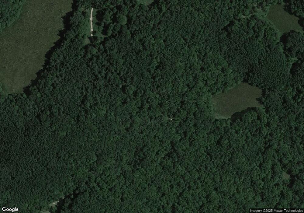
3101 Lanager Rd Township of Branch, MI 49402
Estimated Value: $205,973 - $314,000
2
Beds
1
Bath
960
Sq Ft
$253/Sq Ft
Est. Value
About This Home
This home is located at 3101 Lanager Rd, Township of Branch, MI 49402 and is currently estimated at $242,993, approximately $253 per square foot. 3101 Lanager Rd is a home located in Mason County with nearby schools including Mason County Eastern Elementary School and Mason County Eastern Middle/High School.
Ownership History
Date
Name
Owned For
Owner Type
Purchase Details
Closed on
Apr 6, 2011
Sold by
Ott Vicki
Bought by
Ott William T and Ott Vicki
Current Estimated Value
Purchase Details
Closed on
Aug 13, 2010
Sold by
Dempsey Thomas M and Dempsey Lillian
Bought by
Ott Vicki
Home Financials for this Owner
Home Financials are based on the most recent Mortgage that was taken out on this home.
Original Mortgage
$49,500
Interest Rate
5.7%
Mortgage Type
Adjustable Rate Mortgage/ARM
Purchase Details
Closed on
Oct 10, 2006
Sold by
Gillette Dwight F and Gillette Marlene J
Bought by
Dempsey Thomas M and Dempsey Lillan
Home Financials for this Owner
Home Financials are based on the most recent Mortgage that was taken out on this home.
Original Mortgage
$97,000
Interest Rate
6.49%
Mortgage Type
Future Advance Clause Open End Mortgage
Purchase Details
Closed on
Aug 1, 1989
Create a Home Valuation Report for This Property
The Home Valuation Report is an in-depth analysis detailing your home's value as well as a comparison with similar homes in the area
Home Values in the Area
Average Home Value in this Area
Purchase History
| Date | Buyer | Sale Price | Title Company |
|---|---|---|---|
| Ott William T | -- | None Available | |
| Ott Vicki | -- | None Available | |
| Dempsey Thomas M | $95,000 | Lakeshore Land & Title | |
| -- | $14,000 | -- |
Source: Public Records
Mortgage History
| Date | Status | Borrower | Loan Amount |
|---|---|---|---|
| Previous Owner | Ott Vicki | $49,500 | |
| Previous Owner | Dempsey Thomas M | $97,000 |
Source: Public Records
Tax History Compared to Growth
Tax History
| Year | Tax Paid | Tax Assessment Tax Assessment Total Assessment is a certain percentage of the fair market value that is determined by local assessors to be the total taxable value of land and additions on the property. | Land | Improvement |
|---|---|---|---|---|
| 2025 | $2,294 | $83,100 | $83,100 | $0 |
| 2024 | -- | $69,600 | $69,600 | $0 |
| 2023 | -- | $67,100 | $67,100 | $0 |
| 2022 | -- | $63,867 | $0 | $0 |
| 2021 | -- | $52,500 | $0 | $0 |
| 2020 | -- | -- | $0 | $0 |
| 2019 | -- | -- | $0 | $0 |
| 2018 | -- | -- | $0 | $0 |
| 2017 | -- | -- | $0 | $0 |
| 2016 | -- | -- | $0 | $0 |
| 2015 | -- | -- | $0 | $0 |
| 2013 | -- | -- | $0 | $0 |
Source: Public Records
Map
Nearby Homes
- 4081 N Stephanie Dr
- 4185 N Taylor Rd
- 7849 E Millerton Rd
- 11975 W Brazas Rd
- 5683 Tyndal Rd
- 5765 N Tyndall Rd
- V L 20a N Campbell Rd
- V/L E Decker Rd
- 9253 E Decker Rd
- V/L 20A N Campbell Rd
- VL N Campbell Rd
- 2300 N 28th St
- 6875 Sauble Rd
- 00# N Benson Rd
- 2366 N 20th St
- 2261 N Tallman Lake Rd
- 5341 N Benson Rd
- VL Sherman Rd
- 0 N Tyndall Rd
- 1754 Maggie St
