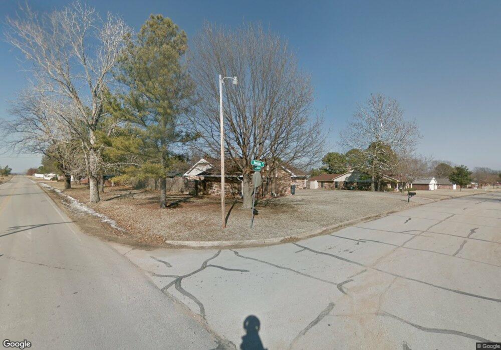
3101 Woodside Dr Ardmore, OK 73401
Estimated Value: $246,000 - $269,000
3
Beds
2
Baths
1,829
Sq Ft
$139/Sq Ft
Est. Value
About This Home
This home is located at 3101 Woodside Dr, Ardmore, OK 73401 and is currently estimated at $253,322, approximately $138 per square foot. 3101 Woodside Dr is a home located in Carter County with nearby schools including Dickson Elementary School, Dickson Upper Elementary School, and Dickson Middle School.
Ownership History
Date
Name
Owned For
Owner Type
Purchase Details
Closed on
Oct 23, 2025
Sold by
Scott Randall K and Scott Adela
Bought by
Randy And Adela Scott Oath Trust and Scott
Current Estimated Value
Purchase Details
Closed on
Mar 24, 2005
Sold by
Colquitt Danny L and Colquitt Nancy R
Bought by
Scott Randall K and Scott Adela
Home Financials for this Owner
Home Financials are based on the most recent Mortgage that was taken out on this home.
Original Mortgage
$125,910
Interest Rate
5.67%
Mortgage Type
FHA
Purchase Details
Closed on
Jun 14, 2004
Sold by
Hunter Lavern A
Bought by
Colquitt Danny L and Colquitt Nanc
Create a Home Valuation Report for This Property
The Home Valuation Report is an in-depth analysis detailing your home's value as well as a comparison with similar homes in the area
Home Values in the Area
Average Home Value in this Area
Purchase History
| Date | Buyer | Sale Price | Title Company |
|---|---|---|---|
| Randy And Adela Scott Oath Trust | -- | None Listed On Document | |
| Scott Randall K | $128,000 | -- | |
| Colquitt Danny L | $110,000 | -- |
Source: Public Records
Mortgage History
| Date | Status | Borrower | Loan Amount |
|---|---|---|---|
| Previous Owner | Scott Randall K | $125,910 |
Source: Public Records
Tax History Compared to Growth
Tax History
| Year | Tax Paid | Tax Assessment Tax Assessment Total Assessment is a certain percentage of the fair market value that is determined by local assessors to be the total taxable value of land and additions on the property. | Land | Improvement |
|---|---|---|---|---|
| 2024 | $2,204 | $21,839 | $984 | $20,855 |
| 2023 | $2,128 | $21,203 | $940 | $20,263 |
| 2022 | $1,936 | $20,586 | $895 | $19,691 |
| 2021 | $1,925 | $19,987 | $2,742 | $17,245 |
| 2020 | $1,838 | $19,404 | $2,610 | $16,794 |
| 2019 | $1,724 | $18,839 | $2,764 | $16,075 |
| 2018 | $1,692 | $18,291 | $2,374 | $15,917 |
| 2017 | $1,671 | $17,758 | $2,246 | $15,512 |
| 2016 | $1,600 | $17,241 | $2,633 | $14,608 |
| 2015 | $1,568 | $16,739 | $872 | $15,867 |
| 2014 | $1,425 | $16,251 | $642 | $15,609 |
Source: Public Records
Map
Nearby Homes
- 60 Town And Country Cir
- 3133 Cardinal Dr
- 402 Beaumont Dr
- 2370 Mary Niblack Rd
- 4042 3rd Ave NE
- 2430 3rd Ave NE
- 2420 3rd Ave NE
- 0 Sam Noble Pkwy Unit 2523300
- 8726 State Highway 199
- 8596 State Highway 199
- 8590 State Highway 199
- 2226 Springdale Rd
- 1220 Freedom
- 2106 Oakglen Dr
- 810 Gene Autry Rd
- 511 2nd St
- 1803 2nd Ave NE
- 1915 Springdale Rd
- 1720 3rd Ave SE
- 201 S St SE
- 3105 Woodside Dr
- 57 Town And Country Cir
- 55 Town And Country Cir
- 3100 Woodside Dr
- 3109 Woodside Dr
- 3104 Woodside Dr
- 53 Town And Country Cir
- 3108 Woodside Dr
- 3113 Woodside Dr
- 3101 Cardinal Dr
- 3105 Cardinal Dr
- 51 Town And Country Cir
- 3112 Woodside Dr
- 3109 Cardinal Dr
- 3113 Cardinal Dr
- 56 Town And Country Cir
- 3117 Woodside Dr
- 3117 Cardinal Dr
- 3385 Mary Niblack Rd