Estimated Value: $459,000 - $603,187
2
Beds
1
Bath
1,814
Sq Ft
$293/Sq Ft
Est. Value
About This Home
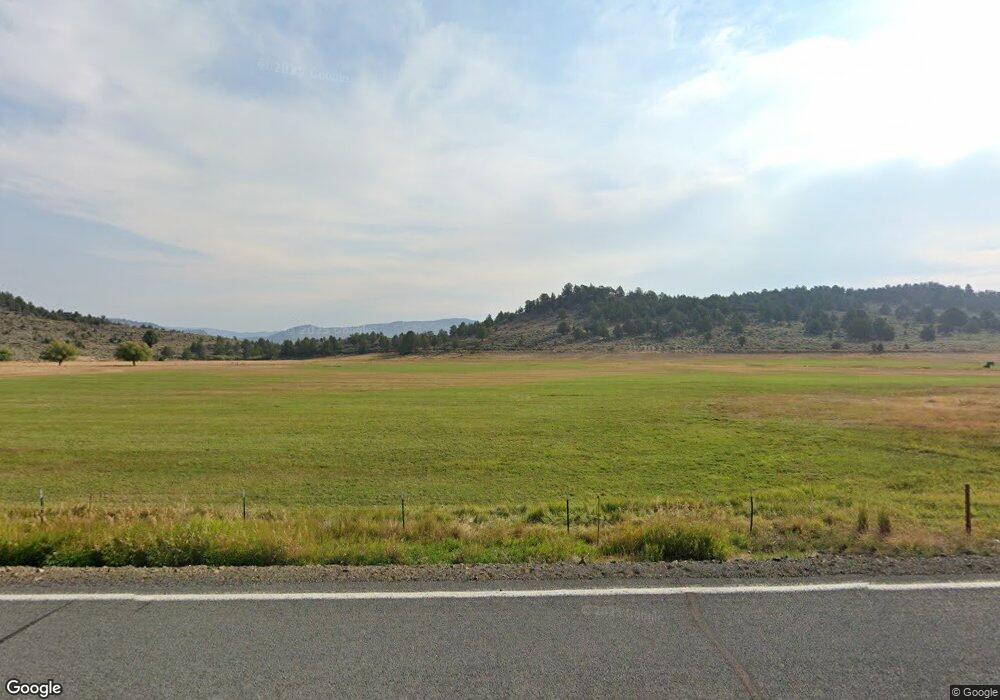
This home is located at 31011 Hwy 26, Unity, OR 97884 and is currently estimated at $531,094, approximately $292 per square foot. 31011 Hwy 26 is a home located in Baker County with nearby schools including Burnt River School.
Create a Home Valuation Report for This Property
The Home Valuation Report is an in-depth analysis detailing your home's value as well as a comparison with similar homes in the area
Home Values in the Area
Average Home Value in this Area
Tax History Compared to Growth
Tax History
| Year | Tax Paid | Tax Assessment Tax Assessment Total Assessment is a certain percentage of the fair market value that is determined by local assessors to be the total taxable value of land and additions on the property. | Land | Improvement |
|---|---|---|---|---|
| 2025 | $1,253 | $83,501 | $37,891 | $45,610 |
| 2024 | $1,225 | $81,189 | $36,907 | $44,282 |
| 2023 | $1,176 | $78,953 | $35,960 | $42,993 |
| 2022 | $1,099 | $76,696 | $34,955 | $41,741 |
| 2021 | $1,059 | $74,593 | $34,067 | $40,526 |
| 2020 | $1,019 | $72,548 | $33,202 | $39,346 |
| 2019 | $1,020 | $69,974 | $32,364 | $37,610 |
| 2018 | $995 | $67,740 | $31,550 | $36,190 |
| 2017 | $965 | $66,480 | $30,760 | $35,720 |
| 2016 | $915 | $64,382 | $29,992 | $34,390 |
| 2015 | $862 | $60,077 | $29,247 | $30,830 |
| 2014 | $872 | $62,654 | $28,524 | $34,130 |
| 2013 | -- | $66,021 | $27,821 | $38,200 |
Source: Public Records
Map
Nearby Homes
- TBD Rattlesnake Ln
- 32290 Rice Rd
- 0 0 Unit 612832691
- 123 Bare Land
- 0 0 Nfs 1680 Rd Unit 24159006
- 78930 Middle Fork Ln
- 17925 Old Trestle Ln
- 38470 Elkhorn Estates Rd
- 1 Iron Horse Loop
- 39798 Bear Gulch Rd
- 602 S Mill St
- 379 Mill St
- 129 E Austin St
- 08S37 Tl-1600 Unit Tax Lot 1700
- 206 Austin St
- 180 Mill St
- 178 Mill St
- 455 E Auburn St
- 175 N Bonanza St
- 150 Mill St