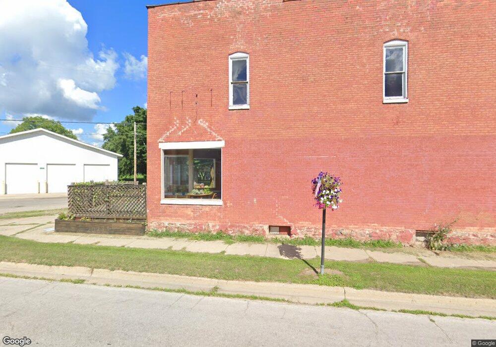
31012 M-60 Unit 1 Leonidas, MI 49066
Estimated Value: $62,628
--
Bed
1
Bath
1,300
Sq Ft
$48/Sq Ft
Est. Value
About This Home
This home is located at 31012 M-60 Unit 1, Leonidas, MI 49066 and is currently estimated at $62,628, approximately $48 per square foot. 31012 M-60 Unit 1 is a home located in St. Joseph County with nearby schools including Factoryville Christian School.
Ownership History
Date
Name
Owned For
Owner Type
Purchase Details
Closed on
Jul 29, 2021
Sold by
Gorrell Leta O
Bought by
Truckey Ross L
Current Estimated Value
Purchase Details
Closed on
Jul 6, 2016
Sold by
Bruce Robert and Bruce Julie
Bought by
Gorrell Leta O
Purchase Details
Closed on
Oct 17, 2007
Sold by
Greider Sherman D and Greider Maryann L
Bought by
Bruce Robert and Bruce Juile
Purchase Details
Closed on
Sep 24, 2004
Sold by
Greider Sherman D and Greider Maryann L
Bought by
Bruce Robert and Bruce Julie
Purchase Details
Closed on
Jan 1, 1901
Create a Home Valuation Report for This Property
The Home Valuation Report is an in-depth analysis detailing your home's value as well as a comparison with similar homes in the area
Home Values in the Area
Average Home Value in this Area
Purchase History
| Date | Buyer | Sale Price | Title Company |
|---|---|---|---|
| Truckey Ross L | $16,000 | Patrick Abtract & Ttl Office | |
| Gorrell Leta O | $35,000 | Devon Title Agency | |
| Bruce Robert | $35,000 | Chicago Title Sturgis | |
| Bruce Robert | -- | Chicago Title Sturgis | |
| -- | -- | -- |
Source: Public Records
Tax History Compared to Growth
Tax History
| Year | Tax Paid | Tax Assessment Tax Assessment Total Assessment is a certain percentage of the fair market value that is determined by local assessors to be the total taxable value of land and additions on the property. | Land | Improvement |
|---|---|---|---|---|
| 2025 | $1,813 | $57,400 | $12,700 | $44,700 |
| 2024 | $406 | $60,500 | $12,700 | $47,800 |
| 2023 | $387 | $46,900 | $10,600 | $36,300 |
| 2022 | $0 | $34,700 | $9,600 | $25,100 |
| 2021 | $0 | $29,600 | $9,200 | $20,400 |
| 2020 | $0 | $36,900 | $9,200 | $27,700 |
| 2019 | $300 | $28,300 | $8,100 | $20,200 |
| 2018 | $1,013 | $30,800 | $7,400 | $23,400 |
| 2017 | $986 | $26,900 | $26,900 | $0 |
| 2016 | -- | $32,100 | $32,100 | $0 |
| 2015 | -- | $32,300 | $0 | $0 |
| 2014 | -- | $32,800 | $32,800 | $0 |
| 2012 | -- | $35,100 | $35,100 | $0 |
Source: Public Records
Map
Nearby Homes
- 30879 Michigan 60
- 31765 Michigan 60
- 27869 Michigan 60
- 30315 Jacksonburg Rd
- 30725 Orla Engle Rd
- VL Heights Dr
- 774 Ralston Rd
- 31688 W Colon Rd
- 0 N Burr Oak Rd
- 0 Marl Lake Rd
- 26370 S Shore Dr
- 210 E South St
- 881 Brent Dr
- Lot 04 S Shore Dr
- 0 S Farrand Unit 25051538
- 110 Dotson Dr
- 307 E Main St
- 893 Vogel Dr
- 52655 Nottawa Rd
- v/l Oliverda Rd
- 31012 M-60
- 31012 Michigan 60 Unit 1
- 31012 Michigan 60
- 53349 Fulton Rd
- 53328 Fulton Rd
- 53328 Fulton Rd
- 31011 Michigan 60
- 28043 Michigan 60
- 53320 Fulton Rd
- 53401 Fulton Rd
- 31030 M 60
- 53298 Fulton Rd
- 8201 S 29th St
- 31017 Jacksonburg Rd
- 53299 Fulton Rd
- 53415 Fulton Rd
- 30952 Michigan 60
- 53292 Fulton Rd
- 53285 Fulton Rd
- 53422 Fulton Rd