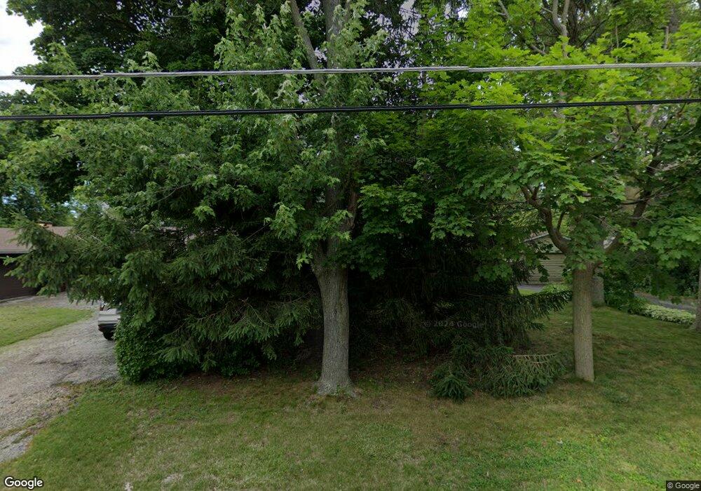
3102 11th St Winthrop Harbor, IL 60096
Shore Acres NeighborhoodEstimated Value: $271,855 - $317,000
3
Beds
1
Bath
1,232
Sq Ft
$234/Sq Ft
Est. Value
About This Home
This home is located at 3102 11th St, Winthrop Harbor, IL 60096 and is currently estimated at $287,964, approximately $233 per square foot. 3102 11th St is a home located in Lake County with nearby schools including Westfield School, North Prairie Junior High School, and Zion-Benton Township High School.
Ownership History
Date
Name
Owned For
Owner Type
Purchase Details
Closed on
Mar 6, 2006
Sold by
Jumisko Raymond H
Bought by
Jumisko Raymond H and Raymond H Jumisko Revocable Tr
Current Estimated Value
Purchase Details
Closed on
Feb 18, 2003
Sold by
Jumisko Marci and Jumisko Melanie
Bought by
Jumisko Raymond H
Purchase Details
Closed on
Feb 17, 2003
Sold by
Jumisko Raymond H and Will Of Kathleen M Jumisko
Bought by
Jumisko Marci and Jumisko Melanie
Create a Home Valuation Report for This Property
The Home Valuation Report is an in-depth analysis detailing your home's value as well as a comparison with similar homes in the area
Home Values in the Area
Average Home Value in this Area
Purchase History
| Date | Buyer | Sale Price | Title Company |
|---|---|---|---|
| Jumisko Raymond H | -- | Chicago Title Insurance Co | |
| Jumisko Raymond H | -- | -- | |
| Jumisko Marci | -- | -- |
Source: Public Records
Tax History Compared to Growth
Tax History
| Year | Tax Paid | Tax Assessment Tax Assessment Total Assessment is a certain percentage of the fair market value that is determined by local assessors to be the total taxable value of land and additions on the property. | Land | Improvement |
|---|---|---|---|---|
| 2024 | $4,886 | $70,625 | $15,228 | $55,397 |
| 2023 | $5,097 | $61,582 | $14,700 | $46,882 |
| 2022 | $5,097 | $57,574 | $14,278 | $43,296 |
| 2021 | $4,922 | $53,722 | $13,915 | $39,807 |
| 2020 | $4,734 | $51,266 | $13,279 | $37,987 |
| 2019 | $4,585 | $48,640 | $12,599 | $36,041 |
| 2018 | $5,244 | $53,643 | $15,250 | $38,393 |
| 2017 | $5,112 | $50,464 | $14,346 | $36,118 |
| 2016 | $4,934 | $48,043 | $13,658 | $34,385 |
| 2015 | $4,763 | $44,060 | $12,526 | $31,534 |
| 2014 | $3,356 | $34,921 | $9,144 | $25,777 |
| 2012 | $3,534 | $36,289 | $9,502 | $26,787 |
Source: Public Records
Map
Nearby Homes
- 3106 13th St
- 0 13th St Unit MRD12432014
- 3015 13th St
- 1228 Pennsylvania Ave
- 908 Kimberly Ln
- 2403 11th St
- 2404 13th St
- 3616 Creekside Ct
- 830 Russell Ave
- 0 14th St Unit MRD12413267
- 919 Charles Ave
- 2030 Burke Dr
- 10702 W 17th St
- 508 Cavin Ave
- 1400 Sheridan Rd
- 1426 Sheridan Rd
- 1808 13th St
- 1405 Lewis Ave
- 1718 Gilboa Ave
- 1703 Hermon Ave
