31020 Tr 213 Fresno, OH 43824
Estimated Value: $147,905 - $291,000
3
Beds
2
Baths
1,620
Sq Ft
$130/Sq Ft
Est. Value
About This Home
This home is located at 31020 Tr 213, Fresno, OH 43824 and is currently estimated at $210,226, approximately $129 per square foot. 31020 Tr 213 is a home with nearby schools including River View High School, NEW BEDFORD SCHOOL, and Green Ridge School.
Ownership History
Date
Name
Owned For
Owner Type
Purchase Details
Closed on
Nov 27, 2023
Sold by
Trease Rachel A
Bought by
Troyer Brian D
Current Estimated Value
Home Financials for this Owner
Home Financials are based on the most recent Mortgage that was taken out on this home.
Original Mortgage
$70,000
Outstanding Balance
$68,867
Interest Rate
7.63%
Mortgage Type
Construction
Estimated Equity
$141,359
Purchase Details
Closed on
Jan 25, 2002
Sold by
Bacon Duane
Bought by
Montgomery Rachel A
Create a Home Valuation Report for This Property
The Home Valuation Report is an in-depth analysis detailing your home's value as well as a comparison with similar homes in the area
Home Values in the Area
Average Home Value in this Area
Purchase History
| Date | Buyer | Sale Price | Title Company |
|---|---|---|---|
| Troyer Brian D | $120,000 | None Listed On Document | |
| Troyer Brian D | $120,000 | None Listed On Document | |
| Montgomery Rachel A | -- | -- |
Source: Public Records
Mortgage History
| Date | Status | Borrower | Loan Amount |
|---|---|---|---|
| Open | Troyer Brian D | $70,000 | |
| Closed | Troyer Brian D | $70,000 |
Source: Public Records
Tax History Compared to Growth
Tax History
| Year | Tax Paid | Tax Assessment Tax Assessment Total Assessment is a certain percentage of the fair market value that is determined by local assessors to be the total taxable value of land and additions on the property. | Land | Improvement |
|---|---|---|---|---|
| 2024 | $1,596 | $46,060 | $11,020 | $35,040 |
| 2023 | $1,596 | $37,996 | $7,371 | $30,625 |
| 2022 | $1,415 | $37,996 | $7,371 | $30,625 |
| 2021 | $1,415 | $37,996 | $7,371 | $30,625 |
| 2020 | $1,323 | $35,340 | $7,389 | $27,951 |
| 2019 | $1,020 | $35,340 | $7,389 | $27,951 |
| 2018 | $885 | $35,340 | $7,389 | $27,951 |
| 2017 | $795 | $29,628 | $6,300 | $23,328 |
| 2016 | $749 | $29,628 | $6,300 | $23,328 |
| 2015 | $375 | $29,628 | $6,300 | $23,328 |
| 2014 | $691 | $27,920 | $4,550 | $23,370 |
Source: Public Records
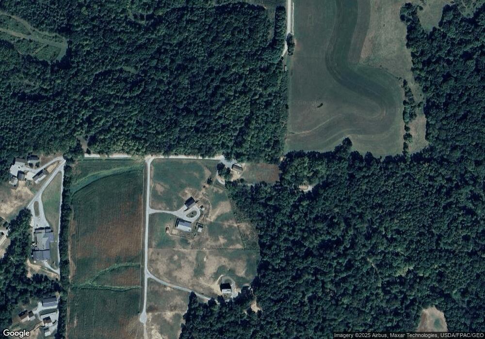
Map
Nearby Homes
- 32469 Township Road 219
- 31509 Township Road 227
- 0 Township Road 219
- 0 Township Road 219
- 30945 County Road 126
- 28427 Ohio 83
- 31705 Township Road 236
- 0 Tr-88 Unit 5165275
- 0 County Road 1
- 26938 County Road 1
- 26929 County Road 1
- 29466 Ohio 93
- 0 State Rd 93 Unit 23494832
- 310 S Butler St
- 204 S Butler St
- 0 Ohio 93
- 306 N Butler St
- 53320 County Road 425
- 220 E Main St
- 0 Dunker Rd
- 31000 Township Road 213
- 30841 Township Road 213
- 31353 Tr 213
- 31037 State Route 643
- 30821 State Route 643
- 30765 Township Road 213
- 50217 Township Road 215
- 50377 Township Road 215
- 30707 Township Road 213
- 50117 Township Road 215
- 30919 Tr 11
- 29245 Township Road 11
- 30556 Ohio 643
- 49951 Township Road 215
- 30386 Township Road 214
- 31640 State Route 643
- 30523 Township Road 11
- 30659 Tr 11
- 31095 Township Road 11
- 30401 State Route 643