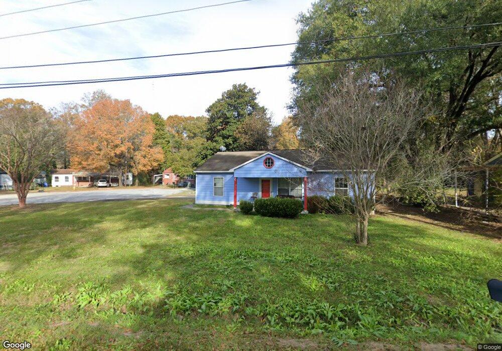
3103 Baker Cir Columbus, GA 31903
South Columbus NeighborhoodEstimated Value: $69,000 - $93,000
3
Beds
3
Baths
1,134
Sq Ft
$73/Sq Ft
Est. Value
About This Home
This home is located at 3103 Baker Cir, Columbus, GA 31903 and is currently estimated at $82,661, approximately $72 per square foot. 3103 Baker Cir is a home located in Muscogee County with nearby schools including Dorothy Height Elementary School, Baker Middle School, and Spencer High School.
Ownership History
Date
Name
Owned For
Owner Type
Purchase Details
Closed on
May 14, 2010
Sold by
Columbus Area Habitat For Humanity Inc
Bought by
Archie Katrina Ann
Current Estimated Value
Home Financials for this Owner
Home Financials are based on the most recent Mortgage that was taken out on this home.
Original Mortgage
$20,000
Outstanding Balance
$6,697
Interest Rate
5.03%
Mortgage Type
Unknown
Estimated Equity
$75,964
Purchase Details
Closed on
Dec 4, 2009
Sold by
Allen Brigitte M
Bought by
Columbus Area Habitat For Humanity Inc
Create a Home Valuation Report for This Property
The Home Valuation Report is an in-depth analysis detailing your home's value as well as a comparison with similar homes in the area
Home Values in the Area
Average Home Value in this Area
Purchase History
| Date | Buyer | Sale Price | Title Company |
|---|---|---|---|
| Archie Katrina Ann | $64,800 | None Available | |
| Columbus Area Habitat For Humanity Inc | $4,400 | None Available |
Source: Public Records
Mortgage History
| Date | Status | Borrower | Loan Amount |
|---|---|---|---|
| Open | Archie Katrina Ann | $20,000 | |
| Open | Archie Katrina Ann | $64,800 |
Source: Public Records
Tax History
| Year | Tax Paid | Tax Assessment Tax Assessment Total Assessment is a certain percentage of the fair market value that is determined by local assessors to be the total taxable value of land and additions on the property. | Land | Improvement |
|---|---|---|---|---|
| 2025 | $534 | $31,272 | $4,252 | $27,020 |
| 2024 | $532 | $39,652 | $4,252 | $35,400 |
| 2023 | $22 | $39,652 | $4,252 | $35,400 |
| 2022 | $555 | $32,756 | $4,252 | $28,504 |
| 2021 | $548 | $27,732 | $4,252 | $23,480 |
| 2020 | $548 | $27,732 | $4,252 | $23,480 |
| 2019 | $552 | $27,732 | $4,252 | $23,480 |
| 2018 | $552 | $27,732 | $4,252 | $23,480 |
| 2017 | $519 | $29,388 | $4,252 | $25,136 |
| 2016 | $522 | $25,920 | $3,600 | $22,320 |
| 2015 | $209 | $25,920 | $3,600 | $22,320 |
| 2014 | $210 | $25,920 | $3,600 | $22,320 |
| 2013 | -- | $25,920 | $3,600 | $22,320 |
Source: Public Records
Map
Nearby Homes
- 1103 Calvin Ave
- 1102 Calvin Ave
- 1120 Calvin Ave
- 1013 Harbison Dr
- 1049 Winston Rd
- 920 Brooks Rd
- 1055 Benning Dr
- 820 Harbison Dr
- 824 Winston Rd
- 3711 Youmans St
- 731 Winston Rd
- 3935 Singer Dr
- 3935 Evergreen St
- 184 30th Ave
- 2916 Lee St
- 338 31st Ave
- 1514 Bowman St
- 1818 Somerset Ave
- 2913 Lee St
- 3433 Marathon Dr
Your Personal Tour Guide
Ask me questions while you tour the home.