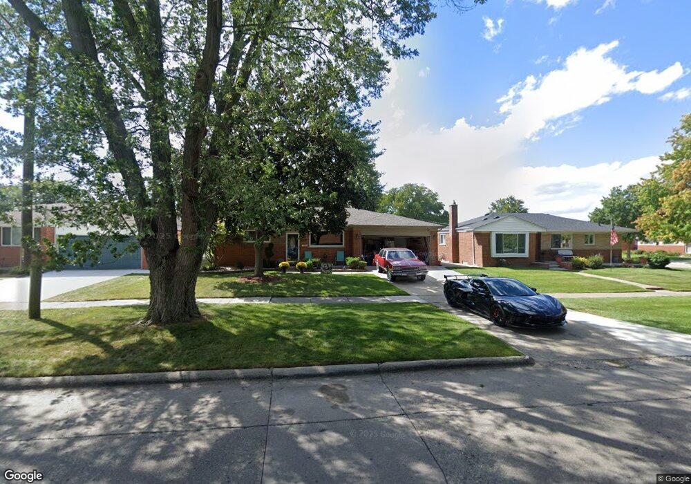
31035 Gloede Dr Unit Bldg-Unit Warren, MI 48088
Northeast Warren NeighborhoodEstimated Value: $269,000 - $370,000
4
Beds
3
Baths
1,645
Sq Ft
$187/Sq Ft
Est. Value
About This Home
This home is located at 31035 Gloede Dr Unit Bldg-Unit, Warren, MI 48088 and is currently estimated at $308,405, approximately $187 per square foot. 31035 Gloede Dr Unit Bldg-Unit is a home located in Macomb County with nearby schools including Wilde Elementary School, Carter Middle School, and Paul K. Cousino High School.
Ownership History
Date
Name
Owned For
Owner Type
Purchase Details
Closed on
Feb 23, 2018
Sold by
Czajkowski John S and Czajkowski Dawn M
Bought by
Strong Ondrea
Current Estimated Value
Home Financials for this Owner
Home Financials are based on the most recent Mortgage that was taken out on this home.
Original Mortgage
$218,960
Outstanding Balance
$186,179
Interest Rate
4.15%
Mortgage Type
FHA
Estimated Equity
$122,226
Create a Home Valuation Report for This Property
The Home Valuation Report is an in-depth analysis detailing your home's value as well as a comparison with similar homes in the area
Home Values in the Area
Average Home Value in this Area
Purchase History
| Date | Buyer | Sale Price | Title Company |
|---|---|---|---|
| Strong Ondrea | $223,000 | None Available |
Source: Public Records
Mortgage History
| Date | Status | Borrower | Loan Amount |
|---|---|---|---|
| Open | Strong Ondrea | $218,960 |
Source: Public Records
Tax History Compared to Growth
Tax History
| Year | Tax Paid | Tax Assessment Tax Assessment Total Assessment is a certain percentage of the fair market value that is determined by local assessors to be the total taxable value of land and additions on the property. | Land | Improvement |
|---|---|---|---|---|
| 2025 | $5,426 | $141,490 | $0 | $0 |
| 2024 | $5,272 | $129,040 | $0 | $0 |
| 2023 | $4,998 | $116,670 | $0 | $0 |
| 2022 | $4,829 | $102,510 | $0 | $0 |
| 2021 | $4,913 | $96,810 | $0 | $0 |
| 2020 | $4,738 | $92,570 | $0 | $0 |
| 2019 | $4,568 | $85,890 | $0 | $0 |
| 2018 | $2,683 | $71,020 | $0 | $0 |
| 2017 | $2,650 | $65,150 | $9,920 | $55,230 |
| 2016 | $2,647 | $65,150 | $0 | $0 |
| 2015 | -- | $57,230 | $0 | $0 |
| 2013 | $2,483 | $45,520 | $0 | $0 |
Source: Public Records
Map
Nearby Homes
- 31070 Hayes Rd
- 31263 Hayes Rd
- 31341 Hayes Rd
- 30644 Hayes Rd
- 31707 Gloede Dr
- 30324 Glenwood Cir
- 15444 Roycroft St
- 30303 Calahan Rd
- 14717 Colpaert Dr
- 14646 Murthum Ave
- 15225 Common Rd
- 15621 Lauren
- 32334 Gloede Dr
- 29832 Autumn Ln
- 30139 Flanders Ave
- 15668 Masonic
- 29754 Autumn Ln
- 13863 Colpaert Dr
- 14625 Bade Dr
- 30729 Mayflower St
- 31035 Gloede Dr
- 31023 Gloede Dr
- 31047 Gloede Dr
- 14746 Lutz Ave
- 31011 Gloede Dr
- 14909 E 13 Mile Rd
- 14734 Lutz Ave
- 31030 Gloede Dr
- 14761 E 13 Mile Rd
- 31046 Gloede Dr
- 14761 Lutz Ave
- 31131 Gloede Dr
- 31016 Gloede Dr
- 14749 Lutz Ave
- 48380 Primrose Dr
- 48316 Primrose Dr
- 48252 Primrose Dr
- 14722 Lutz Ave
- 31216 Beechwood Dr
- 14749 E 13 Mile Rd