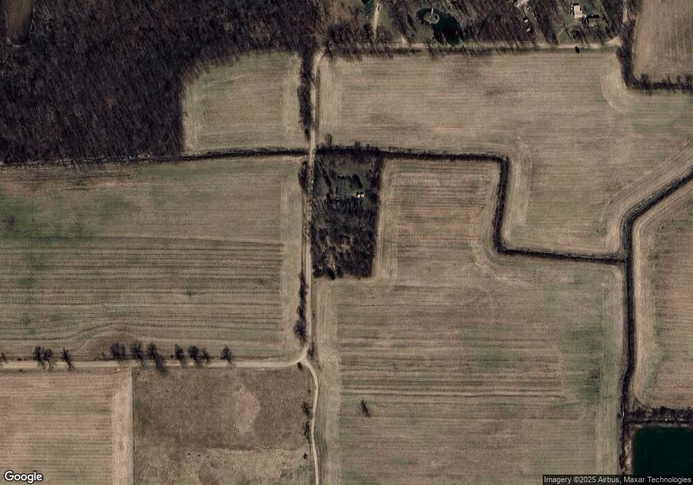
3105 Kane Rd Stockbridge, MI 49285
Estimated Value: $30,000 - $221,000
4
Beds
1
Bath
1,322
Sq Ft
$90/Sq Ft
Est. Value
About This Home
This home is located at 3105 Kane Rd, Stockbridge, MI 49285 and is currently estimated at $118,654, approximately $89 per square foot. 3105 Kane Rd is a home located in Ingham County with nearby schools including Emma Smith Elementary School, Heritage School, and Stockbridge High School.
Ownership History
Date
Name
Owned For
Owner Type
Purchase Details
Closed on
Apr 11, 2024
Sold by
Erlich Porat M and Steffey Amy L
Bought by
Darrow Michael K
Current Estimated Value
Purchase Details
Closed on
Aug 7, 2014
Sold by
Schertzing Eric
Bought by
Erlich Porat M and Erlich Amy L
Purchase Details
Closed on
Jun 18, 2009
Sold by
Stone Ronald A and Stone Rodney D
Bought by
Stone Albert Milton
Purchase Details
Closed on
Dec 22, 2004
Sold by
Stone Albert Milton
Bought by
Stone Ronald A and Stone Rodney D
Create a Home Valuation Report for This Property
The Home Valuation Report is an in-depth analysis detailing your home's value as well as a comparison with similar homes in the area
Home Values in the Area
Average Home Value in this Area
Purchase History
| Date | Buyer | Sale Price | Title Company |
|---|---|---|---|
| Darrow Michael K | $20,000 | First American Title | |
| Erlich Porat M | $3,794 | None Available | |
| Stone Albert Milton | -- | None Available | |
| Stone Ronald A | -- | -- |
Source: Public Records
Tax History
| Year | Tax Paid | Tax Assessment Tax Assessment Total Assessment is a certain percentage of the fair market value that is determined by local assessors to be the total taxable value of land and additions on the property. | Land | Improvement |
|---|---|---|---|---|
| 2025 | $905 | $18,400 | $13,600 | $4,800 |
| 2024 | $854 | $17,800 | $13,000 | $4,800 |
| 2023 | $854 | $17,000 | $12,700 | $4,300 |
| 2022 | $813 | $15,800 | $12,100 | $3,700 |
| 2021 | $797 | $15,700 | $0 | $0 |
| 2020 | $836 | $15,500 | $0 | $0 |
| 2019 | $769 | $15,200 | $12,300 | $2,900 |
| 2018 | $765 | $13,600 | $11,300 | $2,300 |
| 2017 | $722 | $13,600 | $11,300 | $2,300 |
| 2016 | -- | $13,600 | $11,200 | $2,400 |
| 2015 | -- | $13,250 | $0 | $0 |
| 2014 | -- | $12,300 | $0 | $0 |
Source: Public Records
Map
Nearby Homes
- 5367 E M 36
- 4059 Eastbridge Rd
- 4057 Eastbridge Rd
- 2855 Oakley Rd
- 4053 Eastbridge Rd
- 4760 E Main St
- 4740 E Main St
- 119 Maple St
- 9855 Iosco Ridge Dr
- 9758 Iosco Ridge Dr
- 4025 Oakley Rd
- 5663 Iosco Mountain Rd
- 9810 Iosco Ridge Dr
- 0 M-52 Unit 291080
- 2977 Oakley Rd
- 18820 Dexter Trail
- Lot 11 Minix Dr
- 16551 Mi State Road 36
- 216 S Center St
- 630 W Main St W
- 3105 Kane Rd
- 3101 Kane Rd
- 16978 Kane Rd
- 5040 Milner Rd
- 16980 Kane Rd
- 17010 Kane Rd S
- 17024 Kane Rd
- 17010 Kane Rd
- 17050 Kane Rd
- 17117 Kane Rd
- 17060 Kane Rd
- 16268 Deep Valley Rd
- 17100 Kane Rd
- 16272 Deep Valley Rd
- 16332 Deep Valley Rd
- 17120 Kane Rd
- 16330 Deep Valley Rd
- 20 Deep Valley
- 16300 Deep Valley Rd
- 5085 Milner Rd
Your Personal Tour Guide
Ask me questions while you tour the home.
