Estimated Value: $229,000
3
Beds
--
Bath
1,452
Sq Ft
$158/Sq Ft
Est. Value
About This Home
This home is located at 3105 State Highway Dd, Ava, MO 65608 and is currently estimated at $229,000, approximately $157 per square foot. 3105 State Highway Dd is a home with nearby schools including Plainview Elementary School.
Ownership History
Date
Name
Owned For
Owner Type
Purchase Details
Closed on
Nov 10, 2014
Sold by
Weiland Peter
Bought by
Weiland Peter and Ross Anthony Raymond
Current Estimated Value
Home Financials for this Owner
Home Financials are based on the most recent Mortgage that was taken out on this home.
Original Mortgage
$58,000
Outstanding Balance
$44,261
Interest Rate
4.21%
Mortgage Type
New Conventional
Estimated Equity
$184,739
Purchase Details
Closed on
Aug 17, 2007
Sold by
Fannie Mae
Bought by
Weiland Peter
Home Financials for this Owner
Home Financials are based on the most recent Mortgage that was taken out on this home.
Original Mortgage
$36,399
Interest Rate
6.72%
Mortgage Type
New Conventional
Create a Home Valuation Report for This Property
The Home Valuation Report is an in-depth analysis detailing your home's value as well as a comparison with similar homes in the area
Purchase History
| Date | Buyer | Sale Price | Title Company |
|---|---|---|---|
| Weiland Peter | -- | None Available | |
| Weiland Peter | -- | None Available |
Source: Public Records
Mortgage History
| Date | Status | Borrower | Loan Amount |
|---|---|---|---|
| Open | Weiland Peter | $58,000 | |
| Closed | Weiland Peter | $36,399 |
Source: Public Records
Tax History
| Year | Tax Paid | Tax Assessment Tax Assessment Total Assessment is a certain percentage of the fair market value that is determined by local assessors to be the total taxable value of land and additions on the property. | Land | Improvement |
|---|---|---|---|---|
| 2025 | $353 | $11,310 | $2,460 | $8,850 |
| 2024 | $4 | $10,190 | $2,080 | $8,110 |
| 2023 | $352 | $10,190 | $2,080 | $8,110 |
| 2022 | $325 | $9,450 | $2,080 | $7,370 |
| 2020 | $310 | $8,710 | $2,080 | $6,630 |
| 2019 | $309 | $8,710 | $2,080 | $6,630 |
| 2018 | $306 | $8,720 | $2,090 | $6,630 |
| 2017 | $304 | $8,720 | $2,090 | $6,630 |
| 2016 | $284 | $7,420 | $1,230 | $6,190 |
| 2012 | -- | $7,100 | $0 | $0 |
Source: Public Records
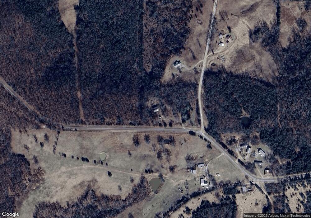
Map
Nearby Homes
- 3176 State Highway Dd
- 000 State Highway Dd
- 56 Hc 69
- 6072 Co Rd #T-447
- 69 Hcr Box 67
- 6312 County Road W76-436
- 406 Horner Dr
- 6739 Co Rd W Unit 76-430
- 000 Merritt Rd
- 5406 County Unit O-524
- 2403 State Hwy W
- 1790 County Rd A-435
- 1790 County Road A-435
- 225 Turkey Creek Rd
- 245 Church St
- 173 Church St
- Tbd
- Hcr 69 Box 100
- 6179 County Road Kk-420
- 299 Hwy T
- 000 County Road Dd-444
- 00 Cr Dd-443
- 3406 State Highway Dd
- 000 State Hwy Dd
- 3290 County Rd Dd-443
- 3669 State Hwy W
- 3525 County Road Dd-445
- 3556 County Road Dd-434
- 2463 Dd State Hwy
- 201 Rt 3 (State Hwy Dd)
- 0 State Hwy Dd
- 2224 State Highway Dd
- 3990 W Co Rd 76-445
- 3990 County Road Dd-445
- 3390 County Road Dd-445
- 3191 State Highway Dd
- 6403 State Highway Dd
- 222 State Highway Dd
- 2224 State Highway Dd
- 1763 State Highway Dd
Your Personal Tour Guide
Ask me questions while you tour the home.