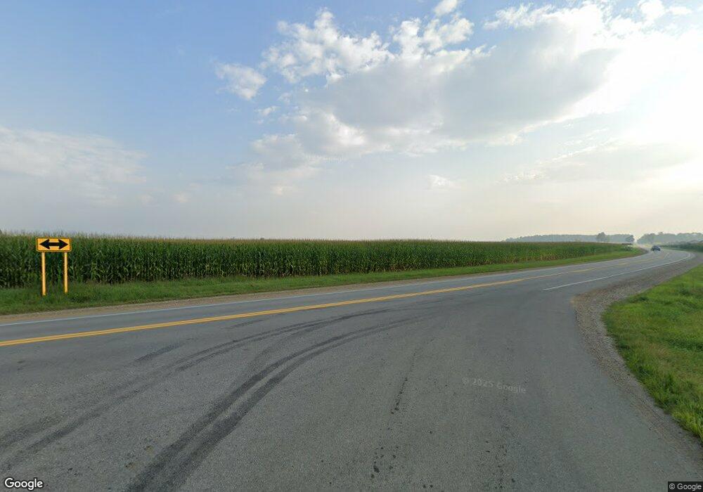
31067 Jacksonburg Rd Leonidas, MI 49066
Estimated Value: $69,000 - $162,720
2
Beds
1
Bath
1,646
Sq Ft
$76/Sq Ft
Est. Value
About This Home
This home is located at 31067 Jacksonburg Rd, Leonidas, MI 49066 and is currently estimated at $125,680, approximately $76 per square foot. 31067 Jacksonburg Rd is a home with nearby schools including Factoryville Christian School.
Ownership History
Date
Name
Owned For
Owner Type
Purchase Details
Closed on
Sep 3, 2021
Sold by
Kopraski Mark K and Kopraski Kristy L
Bought by
Moyer Kristal Kay
Current Estimated Value
Home Financials for this Owner
Home Financials are based on the most recent Mortgage that was taken out on this home.
Original Mortgage
$92,929
Outstanding Balance
$84,432
Interest Rate
2.7%
Mortgage Type
New Conventional
Estimated Equity
$41,248
Purchase Details
Closed on
Jul 10, 2015
Sold by
Kopraski Kristy L and Adams Kristy L
Bought by
Kopraski Mark K and Kopraski Kristy L
Home Financials for this Owner
Home Financials are based on the most recent Mortgage that was taken out on this home.
Original Mortgage
$61,200
Interest Rate
4.08%
Mortgage Type
New Conventional
Purchase Details
Closed on
Jul 17, 2003
Sold by
Macdonald Barry D and Mary Lou
Bought by
Adams Kristy L
Purchase Details
Closed on
Jul 26, 2001
Purchase Details
Closed on
Aug 10, 2000
Purchase Details
Closed on
Aug 19, 1999
Purchase Details
Closed on
Mar 25, 1999
Create a Home Valuation Report for This Property
The Home Valuation Report is an in-depth analysis detailing your home's value as well as a comparison with similar homes in the area
Home Values in the Area
Average Home Value in this Area
Purchase History
| Date | Buyer | Sale Price | Title Company |
|---|---|---|---|
| Moyer Kristal Kay | $92,000 | Patrick Abtract & Ttl Office | |
| Kopraski Mark K | -- | Solutionstar Settlement Svcs | |
| Adams Kristy L | $38,000 | -- | |
| -- | -- | -- | |
| -- | -- | -- | |
| -- | -- | -- | |
| -- | -- | -- |
Source: Public Records
Mortgage History
| Date | Status | Borrower | Loan Amount |
|---|---|---|---|
| Open | Moyer Kristal Kay | $92,929 | |
| Previous Owner | Kopraski Mark K | $61,200 |
Source: Public Records
Tax History Compared to Growth
Tax History
| Year | Tax Paid | Tax Assessment Tax Assessment Total Assessment is a certain percentage of the fair market value that is determined by local assessors to be the total taxable value of land and additions on the property. | Land | Improvement |
|---|---|---|---|---|
| 2025 | $1,730 | $65,000 | $6,300 | $58,700 |
| 2024 | $629 | $63,200 | $6,300 | $56,900 |
| 2023 | $599 | $56,400 | $6,300 | $50,100 |
| 2022 | $0 | $53,900 | $5,900 | $48,000 |
| 2021 | $0 | $41,900 | $5,300 | $36,600 |
| 2020 | $0 | $34,400 | $4,800 | $29,600 |
| 2019 | $300 | $39,500 | $5,200 | $34,300 |
| 2018 | $1,264 | $36,700 | $3,800 | $32,900 |
| 2017 | $742 | $34,400 | $34,400 | $0 |
| 2016 | -- | $31,500 | $31,500 | $0 |
| 2015 | -- | $33,500 | $0 | $0 |
| 2014 | -- | $30,000 | $30,000 | $0 |
| 2012 | -- | $30,100 | $30,100 | $0 |
Source: Public Records
Map
Nearby Homes
- 30879 Michigan 60
- 31765 Michigan 60
- 27869 Michigan 60
- VL Heights Dr
- 774 Ralston Rd
- 30315 Jacksonburg Rd
- 30725 Orla Engle Rd
- 31688 W Colon Rd
- 0 Marl Lake Rd
- 0 N Burr Oak Rd
- 881 Brent Dr
- 110 Dotson Dr
- 210 E South St
- 893 Vogel Dr
- 26370 S Shore Dr
- v/l Oliverda Rd
- 0 S Farrand Unit 25051538
- 0 Dotson Dr Unit 24037129
- Lot 04 S Shore Dr
- 307 E Main St
