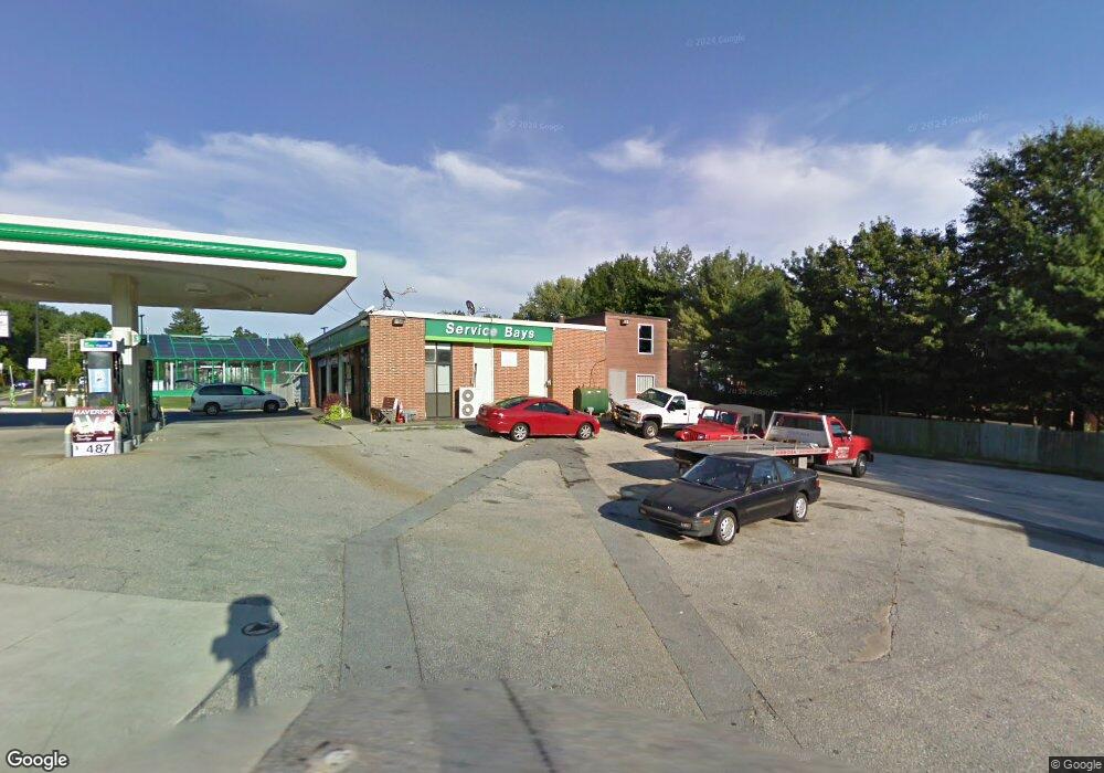
3107 Hammonds Ferry Rd Halethorpe, MD 21227
Lansdowne NeighborhoodEstimated Value: $1,706,732
Studio
--
Bath
2,294
Sq Ft
$744/Sq Ft
Est. Value
About This Home
This home is located at 3107 Hammonds Ferry Rd, Halethorpe, MD 21227 and is currently estimated at $1,706,732, approximately $743 per square foot. 3107 Hammonds Ferry Rd is a home located in Baltimore County with nearby schools including Lansdowne Elementary School, Lansdowne Middle School, and Lansdowne High School.
Ownership History
Date
Name
Owned For
Owner Type
Purchase Details
Closed on
Oct 17, 2022
Sold by
Hjr-Benson Venture Ii Llc
Bought by
3107 Hammonds Ferry Road Halethorpe Llc
Current Estimated Value
Purchase Details
Closed on
Dec 31, 1996
Sold by
Mobil Oil Corporation
Bought by
Hjr & Benson Venture Llc
Purchase Details
Closed on
Jun 6, 1972
Sold by
Crowley John B
Bought by
Mobil Oil Corporation
Create a Home Valuation Report for This Property
The Home Valuation Report is an in-depth analysis detailing your home's value as well as a comparison with similar homes in the area
Home Values in the Area
Average Home Value in this Area
Purchase History
| Date | Buyer | Sale Price | Title Company |
|---|---|---|---|
| 3107 Hammonds Ferry Road Halethorpe Llc | -- | -- | |
| Hjr-Benson Venture Ii Llc | -- | -- | |
| 3107 Hammonds Ferry Road Halethorpe Llc | -- | None Listed On Document | |
| Hjr & Benson Venture Llc | $441,000 | -- | |
| Mobil Oil Corporation | $150,000 | -- |
Source: Public Records
Tax History
| Year | Tax Paid | Tax Assessment Tax Assessment Total Assessment is a certain percentage of the fair market value that is determined by local assessors to be the total taxable value of land and additions on the property. | Land | Improvement |
|---|---|---|---|---|
| 2025 | $9,536 | $717,300 | $402,600 | $314,700 |
| 2024 | $9,536 | $717,300 | $402,600 | $314,700 |
| 2023 | $4,803 | $717,300 | $402,600 | $314,700 |
| 2022 | $9,474 | $724,700 | $402,600 | $322,100 |
| 2021 | $9,685 | $724,700 | $402,600 | $322,100 |
| 2020 | $9,685 | $724,700 | $402,600 | $322,100 |
| 2019 | $9,997 | $727,900 | $402,600 | $325,300 |
| 2018 | $9,991 | $727,900 | $402,600 | $325,300 |
| 2017 | $9,343 | $727,900 | $0 | $0 |
| 2016 | $9,327 | $736,400 | $0 | $0 |
| 2015 | $9,327 | $730,233 | $0 | $0 |
| 2014 | $9,327 | $724,067 | $0 | $0 |
Source: Public Records
Map
Nearby Homes
- 0 Monumental Ave Unit MDBC2082542
- 302 4th Ave
- 801 Seckel Ct
- 4157 Hollins Ferry Rd
- 0 Hammonds Ferry Rd
- 216 Clyde Ave
- 401 2nd Ave
- 418 1st Ave
- 35 Elizabeth Ave
- 238 Elizabeth Ave
- 4101 Old Washington Blvd
- 4438 Scotia Rd
- 104 Ridge Ave
- 4435 Scotia Rd
- 3504 Shenandoah Ave
- 4415 Norfen Rd
- 2773 Yarnall Rd
- 3207 Janice Ave
- 4427 Annapolis Rd
- 404 Carl Ave
- 3111 Hammonds Ferry Rd
- 2362 Research Ave
- 2360 Research Ave
- 4381 Hollins Ferry Rd
- 3005 Hammonds Ferry Rd
- 3100 Hammonds Ferry Rd
- 2365 Research Ave
- 2358 Research Ave
- 2363 Research Ave
- 2943 Baltimore Ave
- 4382 Hollins Ferry Rd
- 4384 Hollins Ferry Rd
- 4369 Hollins Ferry Rd
- 2356 Research Ave
- 3114 Hammonds Ferry Rd
- 3023 Hammonds Ferry Rd
- 2361 Research Ave
- 4380 Hollins Ferry Rd
- 2354 Research Ave
- 2352 Research Ave
Your Personal Tour Guide
Ask me questions while you tour the home.