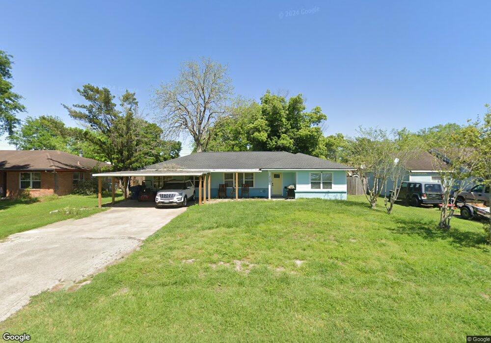
3109 12th St Bay City, TX 77414
Estimated Value: $159,581 - $170,000
3
Beds
2
Baths
1,630
Sq Ft
$102/Sq Ft
Est. Value
About This Home
This home is located at 3109 12th St, Bay City, TX 77414 and is currently estimated at $165,645, approximately $101 per square foot. 3109 12th St is a home located in Matagorda County with nearby schools including John H. Cherry Elementary School, Bay City Junior High School, and Bay City High School.
Ownership History
Date
Name
Owned For
Owner Type
Purchase Details
Closed on
Sep 12, 2014
Sold by
Knezek Linda Kay and Knezek Frank
Bought by
Dekle Brandon Wayne and Dekle Erica Danielle
Current Estimated Value
Home Financials for this Owner
Home Financials are based on the most recent Mortgage that was taken out on this home.
Original Mortgage
$99,489
Outstanding Balance
$76,194
Interest Rate
4.15%
Mortgage Type
New Conventional
Estimated Equity
$89,452
Purchase Details
Closed on
Jan 28, 2005
Sold by
Lowrance Kevin Paul and Lowrance Lynette Pearce
Bought by
Vern William Patrick and Vern Katherine
Home Financials for this Owner
Home Financials are based on the most recent Mortgage that was taken out on this home.
Original Mortgage
$30,500
Interest Rate
5.71%
Mortgage Type
Purchase Money Mortgage
Create a Home Valuation Report for This Property
The Home Valuation Report is an in-depth analysis detailing your home's value as well as a comparison with similar homes in the area
Home Values in the Area
Average Home Value in this Area
Purchase History
| Date | Buyer | Sale Price | Title Company |
|---|---|---|---|
| Dekle Brandon Wayne | -- | Admiral Title Llc | |
| Vern William Patrick | $30,500 | -- |
Source: Public Records
Mortgage History
| Date | Status | Borrower | Loan Amount |
|---|---|---|---|
| Open | Dekle Brandon Wayne | $99,489 | |
| Previous Owner | Vern William Patrick | $30,500 |
Source: Public Records
Tax History Compared to Growth
Tax History
| Year | Tax Paid | Tax Assessment Tax Assessment Total Assessment is a certain percentage of the fair market value that is determined by local assessors to be the total taxable value of land and additions on the property. | Land | Improvement |
|---|---|---|---|---|
| 2024 | $36 | $179,460 | $29,600 | $149,860 |
| 2023 | $3,237 | $163,460 | $22,640 | $140,820 |
| 2022 | $3,372 | $126,280 | $14,800 | $111,480 |
| 2021 | $3,627 | $126,180 | $10,730 | $115,450 |
| 2020 | $3,430 | $112,230 | $10,730 | $101,500 |
| 2019 | $3,487 | $114,160 | $10,730 | $103,430 |
| 2018 | $3,426 | $116,300 | $10,730 | $105,570 |
| 2017 | $3,247 | $116,300 | $10,730 | $105,570 |
| 2016 | $3,102 | $119,030 | $10,730 | $108,300 |
| 2015 | -- | $100,990 | $10,730 | $90,260 |
| 2014 | -- | $86,850 | $10,730 | $76,120 |
Source: Public Records
Map
Nearby Homes
- 1706 Katy Ave
- 3233 12th St
- 1500 Andrea Dr
- 1612 Andrea Dr
- 2912 9th St
- 1720 Elm Ave
- 3500 Monroe St
- 3508 Monroe St
- 3512 Monroe St
- 5013 Freedom Ln
- 5000 Freedom Ln
- 5020 Freedom Ln
- 3514 Monroe St
- 5900 Texas 35
- 3605 Crawford St
- 515 7th St
- 3612 7th St
- 1801 Svetlik Ave
- 3609 Crawford St
- BRISTOL Plan at Valor Park