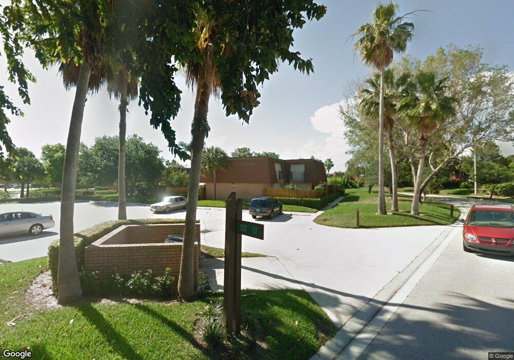
3109 31st Ct Unit 128-B Jupiter, FL 33477
The Bluffs NeighborhoodEstimated Value: $405,000 - $492,000
2
Beds
3
Baths
1,285
Sq Ft
$351/Sq Ft
Est. Value
About This Home
This home is located at 3109 31st Ct Unit 128-B, Jupiter, FL 33477 and is currently estimated at $451,675, approximately $351 per square foot. 3109 31st Ct Unit 128-B is a home located in Palm Beach County.
Ownership History
Date
Name
Owned For
Owner Type
Purchase Details
Closed on
May 11, 2004
Sold by
Mandel Irwin Roy and Mandel Joan S
Bought by
Mcbride Peter and Mcbride Jennifer
Current Estimated Value
Home Financials for this Owner
Home Financials are based on the most recent Mortgage that was taken out on this home.
Original Mortgage
$156,000
Interest Rate
5.11%
Mortgage Type
Purchase Money Mortgage
Purchase Details
Closed on
Apr 5, 2002
Sold by
Zerendow Donald P and Zerendow Victoria W
Bought by
Mandel Irwin Roy and Mandel Joan S
Create a Home Valuation Report for This Property
The Home Valuation Report is an in-depth analysis detailing your home's value as well as a comparison with similar homes in the area
Home Values in the Area
Average Home Value in this Area
Purchase History
| Date | Buyer | Sale Price | Title Company |
|---|---|---|---|
| Mcbride Peter | $195,000 | Priority Title Inc | |
| Mandel Irwin Roy | $135,000 | First Fidelity Title Inc |
Source: Public Records
Mortgage History
| Date | Status | Borrower | Loan Amount |
|---|---|---|---|
| Closed | Mcbride Peter | $156,000 |
Source: Public Records
Tax History Compared to Growth
Tax History
| Year | Tax Paid | Tax Assessment Tax Assessment Total Assessment is a certain percentage of the fair market value that is determined by local assessors to be the total taxable value of land and additions on the property. | Land | Improvement |
|---|---|---|---|---|
| 2024 | $5,833 | $313,452 | -- | -- |
| 2023 | $5,502 | $284,956 | $0 | $0 |
| 2022 | $4,982 | $259,051 | $0 | $0 |
| 2021 | $4,435 | $235,501 | $0 | $235,501 |
| 2020 | $4,260 | $222,501 | $0 | $222,501 |
| 2019 | $4,091 | $210,501 | $0 | $210,501 |
| 2018 | $3,976 | $210,412 | $0 | $210,412 |
| 2017 | $3,950 | $205,412 | $0 | $0 |
| 2016 | $3,682 | $185,412 | $0 | $0 |
| 2015 | $3,515 | $170,953 | $0 | $0 |
| 2014 | $3,276 | $155,412 | $0 | $0 |
Source: Public Records
Map
Nearby Homes
- 2813 28th Ct
- 3073 30th Ct
- 3071 30th Ct
- 3061 30th Ct
- 2428 24th Ct
- 2524 25th Ct
- 3038 30th Ct
- 418 River Edge Rd
- 422 River Edge Rd
- 3225 32nd Ct
- 438 River Edge Rd
- 181 Cape Pointe Cir
- 138 Cape Pointe Cir
- 129 Seashore Dr
- 125 Cape Pointe Cir
- 257 Ridge Rd
- 2929 Marys Way
- 104 Sand Pine Dr
- 2940 Marys Way
- 209 Commodore Dr
- 3109 31st Ct Unit 3109
- 3109 31st Ct Unit B
- 3109 31st Ct
- 3110 31st Ct
- 3108 31st Ct
- 3107 31st Ct
- 3111 31st Ct
- 3106 31st Ct
- 2906 29th Ct
- 2905 2905 29th Ct Unit 2905
- 2905 29th Ct
- 2904 29th Ct
- 2903 29th Ct Unit 2903
- 2903 29th Ct
- 2909 29th Ct
- 3103 31st Ct
- 3102 31st Ct
- 2901 29th Ct
- 3105 31st Ct Unit 130-D
- 3105 31st Ct
