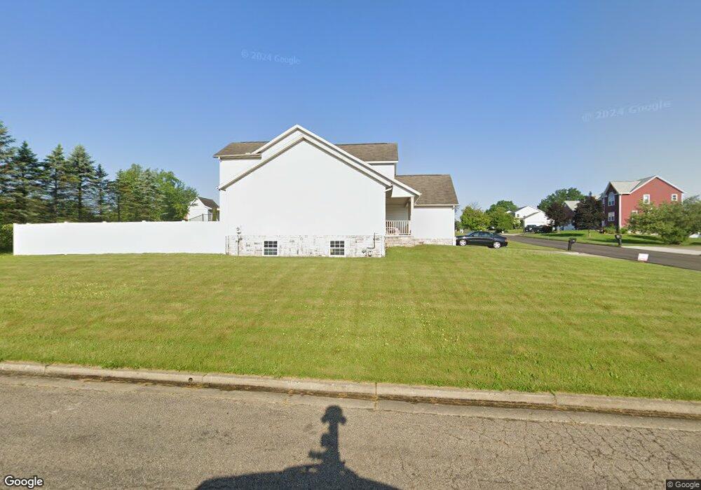
3109 Castle West Cir NW Massillon, OH 44647
West Brookfield NeighborhoodEstimated Value: $202,000 - $335,000
3
Beds
3
Baths
2,071
Sq Ft
$142/Sq Ft
Est. Value
About This Home
This home is located at 3109 Castle West Cir NW, Massillon, OH 44647 and is currently estimated at $294,288, approximately $142 per square foot. 3109 Castle West Cir NW is a home located in Stark County with nearby schools including Massillon Intermediate School, Massillon Junior High School, and Washington High School.
Ownership History
Date
Name
Owned For
Owner Type
Purchase Details
Closed on
May 14, 2003
Sold by
S M J D Properties Llc
Bought by
Zaleski Joan A
Current Estimated Value
Home Financials for this Owner
Home Financials are based on the most recent Mortgage that was taken out on this home.
Original Mortgage
$182,305
Interest Rate
5.87%
Mortgage Type
Purchase Money Mortgage
Purchase Details
Closed on
Apr 23, 2002
Sold by
David Mark G
Bought by
S M J D Properties Llc
Purchase Details
Closed on
Jul 21, 2000
Sold by
Matie Anthony S
Bought by
David Mark G
Purchase Details
Closed on
Jul 19, 1999
Sold by
Castle Corporation
Bought by
Matie Anthony S
Purchase Details
Closed on
Sep 10, 1992
Create a Home Valuation Report for This Property
The Home Valuation Report is an in-depth analysis detailing your home's value as well as a comparison with similar homes in the area
Home Values in the Area
Average Home Value in this Area
Purchase History
| Date | Buyer | Sale Price | Title Company |
|---|---|---|---|
| Zaleski Joan A | $191,900 | Bond & Associates Title Agen | |
| S M J D Properties Llc | $30,000 | -- | |
| David Mark G | $27,000 | -- | |
| Matie Anthony S | -- | -- | |
| -- | -- | -- |
Source: Public Records
Mortgage History
| Date | Status | Borrower | Loan Amount |
|---|---|---|---|
| Previous Owner | Zaleski Joan A | $182,305 |
Source: Public Records
Tax History Compared to Growth
Tax History
| Year | Tax Paid | Tax Assessment Tax Assessment Total Assessment is a certain percentage of the fair market value that is determined by local assessors to be the total taxable value of land and additions on the property. | Land | Improvement |
|---|---|---|---|---|
| 2025 | -- | $108,330 | $21,560 | $86,770 |
| 2024 | -- | $108,330 | $21,560 | $86,770 |
| 2023 | $7,115 | $86,910 | $17,470 | $69,440 |
| 2022 | $4,993 | $86,910 | $17,470 | $69,440 |
| 2021 | $4,640 | $86,910 | $17,470 | $69,440 |
| 2020 | $4,290 | $69,550 | $14,320 | $55,230 |
| 2019 | $4,571 | $69,550 | $14,320 | $55,230 |
| 2018 | $4,198 | $69,550 | $14,320 | $55,230 |
| 2017 | $5,703 | $62,450 | $15,720 | $46,730 |
| 2016 | $4,136 | $62,450 | $15,720 | $46,730 |
| 2015 | $4,222 | $62,450 | $15,720 | $46,730 |
| 2014 | $723 | $57,790 | $14,460 | $43,330 |
| 2013 | $2,400 | $57,790 | $14,460 | $43,330 |
Source: Public Records
Map
Nearby Homes
- 3069 Castle West Cir NW
- 3130 Lincoln Way W
- 822 32nd St NW
- 2790 Lee Ave NW
- 2527 Lincoln Way NW
- 1783 Heron Creek St NW
- 830 Standish Cir NW
- 3575 Kenyon Creek Ave NW
- 3564 Kenyon Creek Ave NW
- 540 Carver St NW
- 3610 Kenyon Creek Ave NW
- 0 Wood Creek Cir
- 429 18th St NW
- 2760 Relda Cir SW
- 1350 Alpha St NW
- 1725 Auburn Ave NW
- 10225 Wooster St NW
- 2488 Carlene Ave SW
- 1252 Gabrielle Cir NW
- 1835 Main Ave W
- 3129 Castle West Cir NW
- 0 V L Jormay Ave NW
- 3089 Castle West Cir NW
- 3115 Jormay Ave NW
- 3110 Castle West Cir NW
- 3149 Castle West Cir NW
- 3100 Castle West Cir NW
- 3090 Castle West Cir NW
- 3129 Jormay Ave NW
- 3150 Castle West Cir NW
- 3169 Castle West Cir NW
- 3160 Jormay Ave NW
- 3070 Castle West Cir NW
- 3137 Jormay Ave NW
- 3049 Castle West Cir NW
- 3150 Jormay Ave NW
- 3170 Castle West Cir NW
- 3184 Jormay Ave NW
- 3189 Castle West Cir NW
- 3050 Castle West Cir NW