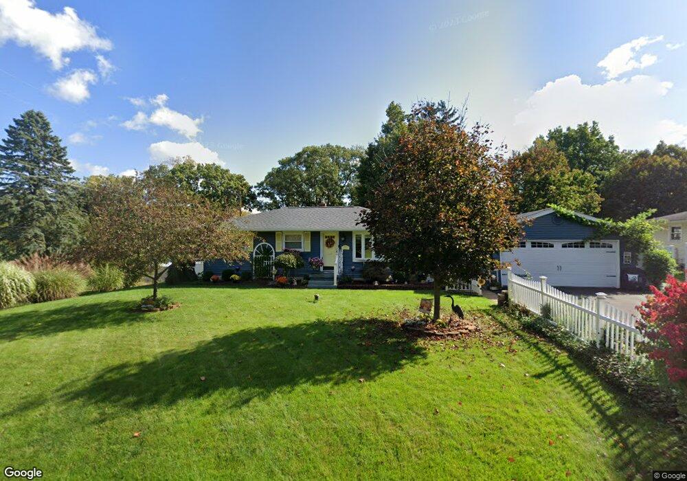
3109 Earl Dr Spring Arbor, MI 49283
Estimated Value: $217,472 - $236,000
Studio
--
Bath
1,760
Sq Ft
$129/Sq Ft
Est. Value
About This Home
This home is located at 3109 Earl Dr, Spring Arbor, MI 49283 and is currently estimated at $227,618, approximately $129 per square foot. 3109 Earl Dr is a home located in Jackson County with nearby schools including Western High School, Paragon Charter Academy, and Trinity Lutheran School.
Ownership History
Date
Name
Owned For
Owner Type
Purchase Details
Closed on
Jun 3, 2020
Sold by
Disley Michelle V
Bought by
Disley Michelle V and Michelle V Disley Revocable Living Trust
Current Estimated Value
Home Financials for this Owner
Home Financials are based on the most recent Mortgage that was taken out on this home.
Original Mortgage
$105,000
Interest Rate
2.8%
Mortgage Type
New Conventional
Purchase Details
Closed on
Apr 26, 2016
Sold by
Disley Michelle V and Disley Roderick F
Bought by
Disley Michelle V and Michelle V Disley Revocable Living Trust
Create a Home Valuation Report for This Property
The Home Valuation Report is an in-depth analysis detailing your home's value as well as a comparison with similar homes in the area
Purchase History
| Date | Buyer | Sale Price | Title Company |
|---|---|---|---|
| Disley Michelle V | -- | None Available | |
| Disley Michelle V | -- | None Available | |
| Disley Michelle V | -- | Attorney |
Source: Public Records
Mortgage History
| Date | Status | Borrower | Loan Amount |
|---|---|---|---|
| Closed | Disley Michelle V | $105,000 |
Source: Public Records
Tax History
| Year | Tax Paid | Tax Assessment Tax Assessment Total Assessment is a certain percentage of the fair market value that is determined by local assessors to be the total taxable value of land and additions on the property. | Land | Improvement |
|---|---|---|---|---|
| 2025 | $2,952 | $106,600 | $0 | $0 |
| 2024 | $17 | $105,800 | $0 | $0 |
| 2023 | $1,731 | $96,100 | $0 | $0 |
| 2022 | $2,682 | $96,400 | $0 | $0 |
| 2021 | $2,634 | $93,660 | $0 | $0 |
| 2020 | $2,603 | $85,030 | $0 | $0 |
| 2019 | $2,478 | $76,650 | $0 | $0 |
| 2018 | $2,470 | $75,360 | $10,000 | $65,360 |
| 2017 | $2,337 | $77,160 | $0 | $0 |
| 2016 | $1,470 | $76,810 | $76,810 | $0 |
| 2015 | $60,410 | $69,150 | $69,150 | $0 |
| 2014 | $60,410 | $63,510 | $63,510 | $0 |
| 2013 | -- | $63,510 | $63,510 | $0 |
Source: Public Records
Map
Nearby Homes
- 6728 King Rd
- 0 King Rd Unit 25060444
- V/L S Dearing Rd Unit 40 Acres Vacant Land
- 2635 S Dearing Rd
- 2625 S Dearing Rd
- 7315 King Rd
- 2503 Milford Rd
- 2659 Fairway Dr
- 4540 Westbrook Dr Unit 45
- 4920 Slayton Rd
- 28 Engelhardt Strasse
- 1864 Chapel Rd
- 68 Dickens St
- 4880 Indian Creek Dr Unit 26
- 5427 Vrooman Rd
- 1570 Chapel Rd
- 4894 Indian Creek Dr
- 1956 Trinity Ln
- 4055 Mathews Rd
- 4835 Staten Dr
Your Personal Tour Guide
Ask me questions while you tour the home.