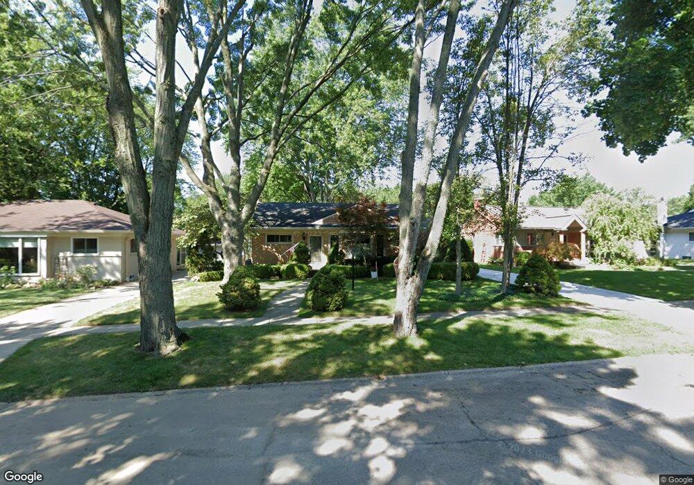
31099 E Rutland St Beverly Hills, MI 48025
Estimated Value: $403,863 - $491,000
3
Beds
2
Baths
1,569
Sq Ft
$283/Sq Ft
Est. Value
About This Home
This home is located at 31099 E Rutland St, Beverly Hills, MI 48025 and is currently estimated at $443,716, approximately $282 per square foot. 31099 E Rutland St is a home located in Oakland County with nearby schools including Wylie E. Groves High School, Greenfield Elementary School, and Berkshire Middle School.
Ownership History
Date
Name
Owned For
Owner Type
Purchase Details
Closed on
Sep 2, 2011
Sold by
Gail Benson Living Trust
Bought by
Sternicki Chester and Sternicki Mary
Current Estimated Value
Purchase Details
Closed on
Oct 4, 2007
Sold by
Benson Gail S and Benson Gail
Bought by
Gail S Benson Living Trust
Purchase Details
Closed on
Jun 30, 1995
Sold by
Degrootte Daniel C
Bought by
Benson Gail
Home Financials for this Owner
Home Financials are based on the most recent Mortgage that was taken out on this home.
Original Mortgage
$135,000
Interest Rate
7.79%
Mortgage Type
New Conventional
Create a Home Valuation Report for This Property
The Home Valuation Report is an in-depth analysis detailing your home's value as well as a comparison with similar homes in the area
Home Values in the Area
Average Home Value in this Area
Purchase History
| Date | Buyer | Sale Price | Title Company |
|---|---|---|---|
| Sternicki Chester | $187,000 | None Available | |
| Gail S Benson Living Trust | -- | None Available | |
| Benson Gail | $155,000 | -- |
Source: Public Records
Mortgage History
| Date | Status | Borrower | Loan Amount |
|---|---|---|---|
| Previous Owner | Benson Gail | $135,000 |
Source: Public Records
Tax History Compared to Growth
Tax History
| Year | Tax Paid | Tax Assessment Tax Assessment Total Assessment is a certain percentage of the fair market value that is determined by local assessors to be the total taxable value of land and additions on the property. | Land | Improvement |
|---|---|---|---|---|
| 2024 | -- | $167,220 | $0 | $0 |
| 2023 | $3,950 | $0 | $0 | $0 |
| 2022 | $3,950 | $145,000 | $0 | $0 |
| 2021 | $3,983 | $138,780 | $0 | $0 |
| 2020 | $3,337 | $133,850 | $0 | $0 |
| 2019 | $2,636 | $126,900 | $0 | $0 |
| 2018 | $3,851 | $116,810 | $0 | $0 |
| 2017 | $3,831 | $116,810 | $0 | $0 |
| 2016 | $3,840 | $106,450 | $0 | $0 |
| 2015 | -- | $105,330 | $0 | $0 |
| 2014 | -- | $101,510 | $0 | $0 |
| 2011 | -- | $78,070 | $0 | $0 |
Source: Public Records
Map
Nearby Homes
- 17220 W 13 Mile Rd
- 17058 W 13 Mile Rd
- 16276 Amherst Ave
- 31220 Sheridan Dr
- 16946 Reedmere Ave
- 30200 Southfield Rd Unit 204
- 16141 Reedmere Ave
- 30268 Southfield Rd Unit 229
- 16207 Wetherby St
- 31711 Arlington Dr
- 30560 Northgate Dr
- 30798 Brentwood St
- 18240 Webster Ave
- 16950 Kinross Ave
- 30160 Marshall St
- 29809 N Bedford St
- 30301 Spring River Dr
- 29915 Everett St
- 31607 Auburn Dr
- 3311 Ellwood Ave
- 31119 E Rutland St
- 31079 E Rutland St
- 31139 E Rutland St
- 31059 E Rutland St
- 31082 W Rutland St
- 31122 W Rutland St
- 31142 W Rutland St
- 31159 E Rutland St
- 31120 E Rutland St
- 31080 E Rutland St
- 17240 W 13 Mile Rd
- 17220 W Thirteen Mile Rd
- 31140 E Rutland St
- 31162 W Rutland St
- 17220 W Thirteen Mile
- 17260 W 13 Mile Rd
- 31179 E Rutland St
- 17120 W 13 Mile Rd
- 17280 W 13 Mile Rd
- 31182 W Rutland St