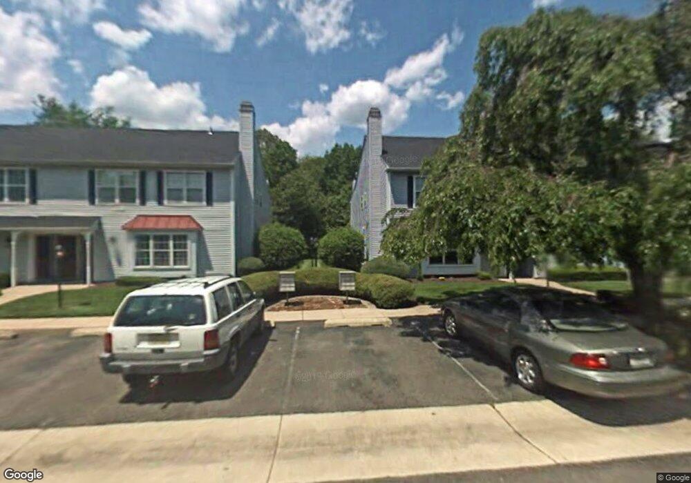
311 Andrews Ln Unit 311 Moorestown, NJ 08057
Estimated Value: $275,000 - $298,000
--
Bed
--
Bath
1,104
Sq Ft
$259/Sq Ft
Est. Value
About This Home
This home is located at 311 Andrews Ln Unit 311, Moorestown, NJ 08057 and is currently estimated at $286,286, approximately $259 per square foot. 311 Andrews Ln Unit 311 is a home located in Burlington County with nearby schools including Mary E. Roberts Elementary School, Moorestown Upper Elementary School, and William Allen Middle School.
Ownership History
Date
Name
Owned For
Owner Type
Purchase Details
Closed on
Sep 29, 2004
Sold by
Thornton David L and Thornton Ryann A
Bought by
Mao Hank Y
Current Estimated Value
Home Financials for this Owner
Home Financials are based on the most recent Mortgage that was taken out on this home.
Original Mortgage
$122,400
Outstanding Balance
$52,835
Interest Rate
3.88%
Mortgage Type
Purchase Money Mortgage
Estimated Equity
$233,451
Purchase Details
Closed on
Aug 8, 2002
Sold by
Tetreault Sandra A and Tetreault Herbert A
Bought by
Thornton David L and Klatt Ryann A
Home Financials for this Owner
Home Financials are based on the most recent Mortgage that was taken out on this home.
Original Mortgage
$118,655
Interest Rate
6.39%
Mortgage Type
Purchase Money Mortgage
Create a Home Valuation Report for This Property
The Home Valuation Report is an in-depth analysis detailing your home's value as well as a comparison with similar homes in the area
Home Values in the Area
Average Home Value in this Area
Purchase History
| Date | Buyer | Sale Price | Title Company |
|---|---|---|---|
| Mao Hank Y | $153,000 | Infinity Title Agency Inc | |
| Thornton David L | $124,900 | Congress Title Corp |
Source: Public Records
Mortgage History
| Date | Status | Borrower | Loan Amount |
|---|---|---|---|
| Open | Mao Hank Y | $122,400 | |
| Previous Owner | Thornton David L | $118,655 |
Source: Public Records
Tax History Compared to Growth
Tax History
| Year | Tax Paid | Tax Assessment Tax Assessment Total Assessment is a certain percentage of the fair market value that is determined by local assessors to be the total taxable value of land and additions on the property. | Land | Improvement |
|---|---|---|---|---|
| 2025 | $4,354 | $152,300 | $65,000 | $87,300 |
| 2024 | $4,223 | $152,300 | $65,000 | $87,300 |
| 2023 | $4,223 | $152,300 | $65,000 | $87,300 |
| 2022 | $4,202 | $152,300 | $65,000 | $87,300 |
| 2021 | $4,149 | $152,300 | $65,000 | $87,300 |
| 2020 | $4,121 | $152,300 | $65,000 | $87,300 |
| 2019 | $4,047 | $152,300 | $65,000 | $87,300 |
| 2018 | $3,928 | $152,300 | $65,000 | $87,300 |
| 2017 | $3,954 | $152,300 | $65,000 | $87,300 |
| 2016 | $3,935 | $152,300 | $65,000 | $87,300 |
| 2015 | $3,884 | $152,300 | $65,000 | $87,300 |
| 2014 | $3,693 | $152,300 | $65,000 | $87,300 |
Source: Public Records
Map
Nearby Homes
- 124 E Wilson Ave
- 709 Manor Terrace
- 7 Errickson Ave
- 801 E Camden Ave
- 5 Domenica Dr
- 14 Vincent Way
- 206 E Camden Ave
- 531 Covington Terrace
- 519 N Lincoln Ave
- 106 Pine St
- 423 Park Blvd
- 112 Beacon St
- 99 Grant Ave
- 316 Farmdale Rd
- 114 Grant Ave
- 543 Bethel Ave
- 313 Fairview Ave
- 493 N Church St
- 31 S Boulevard Ave
- 25 Oriole Way
- 312 Andrews Ln Unit 312
- 320 Andrews Ln
- 313 Andrews Ln Unit 313
- 314 Andrews Ln Unit 314
- 310 Andrews Ln Unit 310
- 309 Andrews Ln Unit 309
- 315 Andrews Ln Unit 315
- 308 Andrews Ln Unit 308
- 316 Andrews Ln Unit 316
- 307 Andrews Ln Unit 307
- 317 Andrews Ln Unit 317
- 318 Andrews Ln
- 305 Andrews Ln Unit 305
- 306 Andrews Ln Unit 306
- 319 Andrews Ln
- 300 Andrews Ln Unit 300
- 304 Andrews Ln
- 303 Andrews Ln Unit 303
- 302 Andrews Ln
- 301 Andrews Ln