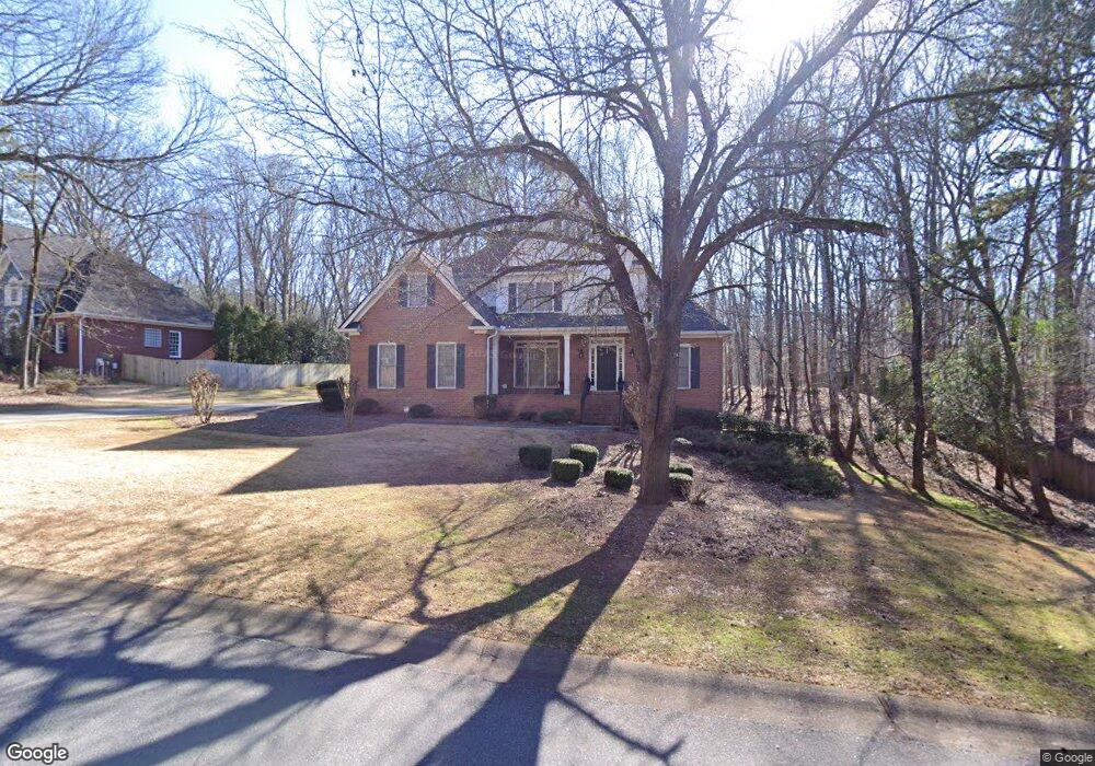
311 Auburn Pkwy Athens, GA 30606
Estimated Value: $530,078 - $624,000
4
Beds
3
Baths
2,751
Sq Ft
$213/Sq Ft
Est. Value
About This Home
This home is located at 311 Auburn Pkwy, Athens, GA 30606 and is currently estimated at $586,770, approximately $213 per square foot. 311 Auburn Pkwy is a home located in Clarke County with nearby schools including Timothy Elementary School, Clarke Middle School, and Clarke Central High School.
Ownership History
Date
Name
Owned For
Owner Type
Purchase Details
Closed on
Nov 5, 2001
Sold by
Saye Construction Company Inc
Bought by
Hope Winfred M and Hope Betty S
Current Estimated Value
Purchase Details
Closed on
Jan 13, 1995
Sold by
Coggins Land Company
Bought by
Saye Construction Company Inc
Purchase Details
Closed on
Nov 20, 1992
Sold by
C H C Development Co
Bought by
Coggins Land Company
Create a Home Valuation Report for This Property
The Home Valuation Report is an in-depth analysis detailing your home's value as well as a comparison with similar homes in the area
Home Values in the Area
Average Home Value in this Area
Purchase History
| Date | Buyer | Sale Price | Title Company |
|---|---|---|---|
| Hope Winfred M | $284,900 | -- | |
| Saye Construction Company Inc | -- | -- | |
| Coggins Land Company | -- | -- |
Source: Public Records
Tax History Compared to Growth
Tax History
| Year | Tax Paid | Tax Assessment Tax Assessment Total Assessment is a certain percentage of the fair market value that is determined by local assessors to be the total taxable value of land and additions on the property. | Land | Improvement |
|---|---|---|---|---|
| 2025 | $4,458 | $244,578 | $26,000 | $218,578 |
| 2024 | $4,458 | $223,362 | $26,000 | $197,362 |
| 2023 | $4,497 | $208,802 | $26,000 | $182,802 |
| 2022 | $4,134 | $170,765 | $26,000 | $144,765 |
| 2021 | $4,139 | $154,669 | $26,000 | $128,669 |
| 2020 | $4,044 | $147,720 | $26,000 | $121,720 |
| 2019 | $3,948 | $138,354 | $26,000 | $112,354 |
| 2018 | $3,929 | $137,027 | $24,000 | $113,027 |
| 2017 | $3,767 | $125,384 | $24,000 | $101,384 |
| 2016 | $3,715 | $121,706 | $24,000 | $97,706 |
| 2015 | $3,721 | $122,096 | $24,000 | $98,096 |
| 2014 | $3,706 | $121,064 | $24,000 | $97,064 |
Source: Public Records
Map
Nearby Homes
- 450 River Bottom Rd
- 115 Woodhaven St
- 164 Lucy Ln
- 860 Mitchell Bridge Rd Unit 8
- 860 Mitchell Bridge Rd Unit 8
- 184 Hillsborough Dr
- 256 Cherokee Ridge
- 150 The Preserve Dr Unit H2
- 134 Bent Tree Dr
- 575 Vaughn Rd
- 532 Huntington Rd Unit 7
- 125 Mitchell Bluff
- 141 Huntington Shoals Dr
- 470 Huntington Rd Unit 5
- 212 Huntington Shoals Dr
- 124 Pin Oak Ct
- 637 Huntington Rd Unit B1
- 43 River Shoals Dr
- 305 Auburn Pkwy
- 480 River Bottom Rd
- 127 Austin Ct
- 122 Austin Ct
- 440 River Bottom Rd
- 295 Auburn Pkwy
- 310 Auburn Pkwy
- 180 Bloomington Dr
- 275 Auburn Pkwy
- 485 River Bottom Rd
- 490 River Bottom Rd
- 117 Austin Ct
- 150 Austin Dr
- 475 River Bottom Rd
- 430 River Bottom Rd
- 160 Bloomington Dr
- 130 Austin Dr
- 455 River Bottom Rd
- 185 Bloomington Dr
- 495 River Bottom Rd