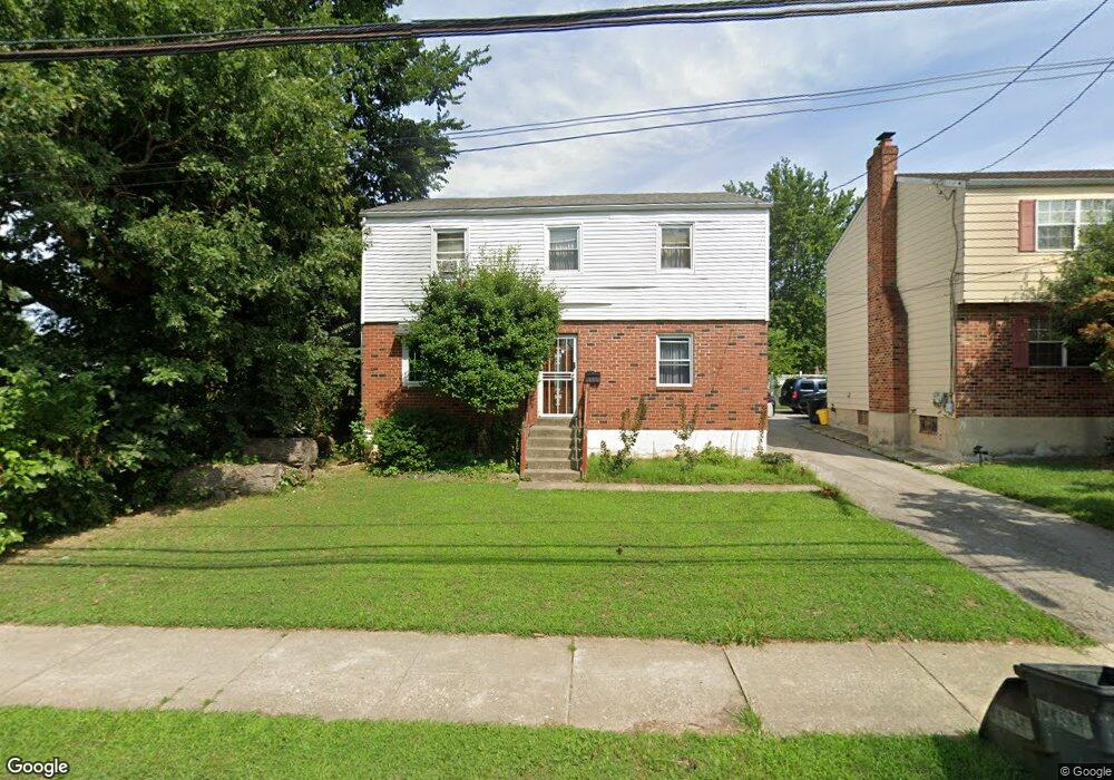
311 Baily Rd Lansdowne, PA 19050
Estimated Value: $250,000 - $291,000
3
Beds
2
Baths
1,716
Sq Ft
$159/Sq Ft
Est. Value
About This Home
This home is located at 311 Baily Rd, Lansdowne, PA 19050 and is currently estimated at $272,985, approximately $159 per square foot. 311 Baily Rd is a home located in Delaware County with nearby schools including Ardmore Avenue School, Penn Wood Middle School, and Penn Wood High School - Cypress Street Campus.
Ownership History
Date
Name
Owned For
Owner Type
Purchase Details
Closed on
Dec 5, 2007
Sold by
Aiyebo Olabode S and Aiyebo Mojisola S
Bought by
Aiyebo Mojisola S and Aiyebo Olabode S
Current Estimated Value
Home Financials for this Owner
Home Financials are based on the most recent Mortgage that was taken out on this home.
Original Mortgage
$144,000
Outstanding Balance
$90,579
Interest Rate
6.18%
Mortgage Type
Stand Alone Refi Refinance Of Original Loan
Estimated Equity
$182,406
Purchase Details
Closed on
Jul 13, 1999
Sold by
Alaska Seaboard Partners
Bought by
Aiyebo Olabode S and Kuye Mojisola S
Home Financials for this Owner
Home Financials are based on the most recent Mortgage that was taken out on this home.
Original Mortgage
$79,959
Interest Rate
7.65%
Mortgage Type
FHA
Purchase Details
Closed on
Oct 29, 1996
Sold by
Osborne Ann
Bought by
Alaska Seaboard Partners Ltd Prtnrshp
Create a Home Valuation Report for This Property
The Home Valuation Report is an in-depth analysis detailing your home's value as well as a comparison with similar homes in the area
Home Values in the Area
Average Home Value in this Area
Purchase History
| Date | Buyer | Sale Price | Title Company |
|---|---|---|---|
| Aiyebo Mojisola S | -- | First American Title Ins Co | |
| Aiyebo Olabode S | $80,000 | First American Title Ins Co | |
| Alaska Seaboard Partners Ltd Prtnrshp | -- | -- |
Source: Public Records
Mortgage History
| Date | Status | Borrower | Loan Amount |
|---|---|---|---|
| Open | Aiyebo Mojisola S | $144,000 | |
| Closed | Aiyebo Olabode S | $79,959 |
Source: Public Records
Tax History Compared to Growth
Tax History
| Year | Tax Paid | Tax Assessment Tax Assessment Total Assessment is a certain percentage of the fair market value that is determined by local assessors to be the total taxable value of land and additions on the property. | Land | Improvement |
|---|---|---|---|---|
| 2025 | $5,798 | $135,790 | $27,750 | $108,040 |
| 2024 | $5,798 | $135,790 | $27,750 | $108,040 |
| 2023 | $5,266 | $135,790 | $27,750 | $108,040 |
| 2022 | $5,021 | $135,790 | $27,750 | $108,040 |
| 2021 | $7,593 | $135,790 | $27,750 | $108,040 |
| 2020 | $4,996 | $80,000 | $80,000 | $0 |
| 2019 | $4,908 | $80,000 | $80,000 | $0 |
| 2018 | $4,840 | $80,000 | $0 | $0 |
| 2017 | $4,738 | $80,000 | $0 | $0 |
| 2016 | $439 | $80,000 | $0 | $0 |
| 2015 | $448 | $80,000 | $0 | $0 |
| 2014 | $439 | $80,000 | $0 | $0 |
Source: Public Records
Map
Nearby Homes
- 201 Elder Ave
- 137 Elder Ave
- 408 S Union Ave
- 192 Fairview Ave
- 103 Lincoln Ave
- 530 Orchard Ave
- 603 Penn St
- 144 Fairview Ave
- 32 Elder Ave
- 503 Bonsall Ave
- 30 E Providence Rd
- 435 Bonsall Ave
- 702 Cedar Ave
- 306 Golf Rd
- 722 Yeadon Ave
- 711 Yeadon Ave Unit 1
- 407 Church Ln
- 1345 Park Ln
- 1246 Wycombe Ave
- 129 Branford Rd