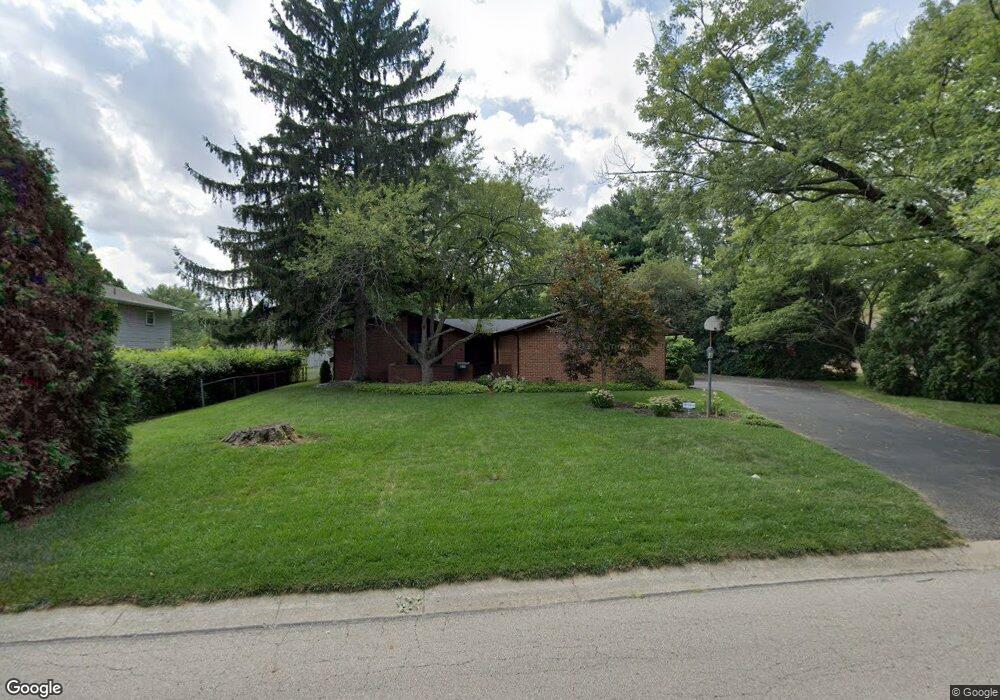
311 Bronston Trail Beavercreek, OH 45430
Estimated Value: $275,468 - $318,000
3
Beds
2
Baths
1,489
Sq Ft
$198/Sq Ft
Est. Value
About This Home
This home is located at 311 Bronston Trail, Beavercreek, OH 45430 and is currently estimated at $294,867, approximately $198 per square foot. 311 Bronston Trail is a home located in Greene County with nearby schools including Fairbrook Elementary School, Herman K Ankeney Middle School, and Beavercreek High School.
Ownership History
Date
Name
Owned For
Owner Type
Purchase Details
Closed on
May 29, 2007
Sold by
Leclere Stelter Deborah and Stelter David W
Bought by
Handlir Alan D
Current Estimated Value
Home Financials for this Owner
Home Financials are based on the most recent Mortgage that was taken out on this home.
Original Mortgage
$125,000
Outstanding Balance
$76,570
Interest Rate
6.21%
Mortgage Type
Unknown
Estimated Equity
$218,297
Purchase Details
Closed on
Jun 28, 2002
Sold by
Denney Omer C and Denney Judith L
Bought by
Leclere Smith Deborah
Home Financials for this Owner
Home Financials are based on the most recent Mortgage that was taken out on this home.
Original Mortgage
$117,600
Interest Rate
6.93%
Create a Home Valuation Report for This Property
The Home Valuation Report is an in-depth analysis detailing your home's value as well as a comparison with similar homes in the area
Home Values in the Area
Average Home Value in this Area
Purchase History
| Date | Buyer | Sale Price | Title Company |
|---|---|---|---|
| Handlir Alan D | $168,000 | Attorney | |
| Leclere Smith Deborah | $147,000 | -- |
Source: Public Records
Mortgage History
| Date | Status | Borrower | Loan Amount |
|---|---|---|---|
| Open | Handlir Alan D | $125,000 | |
| Previous Owner | Leclere Smith Deborah | $117,600 |
Source: Public Records
Tax History Compared to Growth
Tax History
| Year | Tax Paid | Tax Assessment Tax Assessment Total Assessment is a certain percentage of the fair market value that is determined by local assessors to be the total taxable value of land and additions on the property. | Land | Improvement |
|---|---|---|---|---|
| 2024 | $4,995 | $75,020 | $12,080 | $62,940 |
| 2023 | $4,995 | $75,020 | $12,080 | $62,940 |
| 2022 | $4,229 | $56,070 | $10,500 | $45,570 |
| 2021 | $4,146 | $56,070 | $10,500 | $45,570 |
| 2020 | $4,177 | $56,070 | $10,500 | $45,570 |
| 2019 | $4,074 | $49,920 | $9,320 | $40,600 |
| 2018 | $3,605 | $49,920 | $9,320 | $40,600 |
| 2017 | $3,362 | $49,920 | $9,320 | $40,600 |
| 2016 | $3,363 | $45,090 | $9,320 | $35,770 |
| 2015 | $3,343 | $45,090 | $9,320 | $35,770 |
| 2014 | $3,295 | $45,090 | $9,320 | $35,770 |
Source: Public Records
Map
Nearby Homes
- 170 Saundra Ct
- 97 Apple Blossom Place
- 2658 Tompkins Dr
- 3961 Ephrata Ct
- 65 Aberdeen Village Dr Unit 65
- 185 Rosillo Dr
- 4174 White Hawk Ct
- 4134 Cambridge Trail
- 24 Rosell Dr
- 3978 Indian Ripple Rd
- 564 Plattner Trail
- 4310 Straight Arrow Rd Unit 4310
- 4324 Straight Arrow Rd Unit 4324
- 611 Cape Cod Ct
- 520 Vineland Trail
- 615 Bendwood Way
- 641 Angler Ct
- 4485 Longmeadow Ln
- 3917 E Summit Ridge Dr
- 2631 Camino Place E
- 4112 Vineland Trail
- 321 Bronston Trail
- 3109 Vineland Trail
- 4105 Pennywood Dr
- 4123 Pennywood Dr
- 310 Bronston Trail
- 308 Woodcroft Trail
- 275 Bronston Trail
- 322 Bronston Trail
- 328 Woodcroft Trail
- 282 Bronston Trail
- 332 Bronston Trail
- 3108 Vineland Trail
- 261 Bronston Trail
- 266 Bronston Trail
- 342 Bronston Trail
- 270 Woodcroft Trail
- 4102 Pennywood Dr
- 4112 Pennywood Dr
- 309 Woodcroft Trail