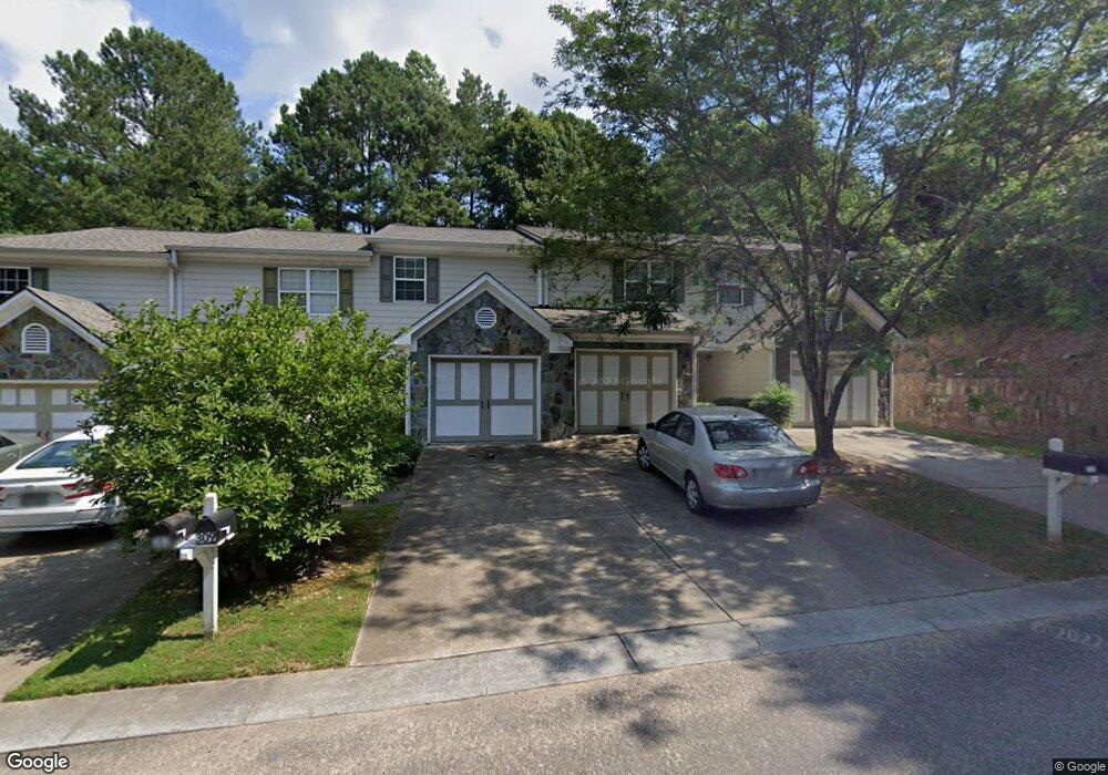
311 Brookside Way Canton, GA 30114
Estimated Value: $263,000 - $263,424
2
Beds
3
Baths
1,192
Sq Ft
$221/Sq Ft
Est. Value
About This Home
This home is located at 311 Brookside Way, Canton, GA 30114 and is currently estimated at $263,212, approximately $220 per square foot. 311 Brookside Way is a home located in Cherokee County with nearby schools including R. M. Moore Elementary School, Teasley Middle School, and Cherokee High School.
Ownership History
Date
Name
Owned For
Owner Type
Purchase Details
Closed on
Nov 9, 2018
Sold by
Stearns Rebecca
Bought by
Doss Investment Partners Lp
Current Estimated Value
Purchase Details
Closed on
Dec 30, 2011
Sold by
Federal National Mortgage Association
Bought by
Stearns Rebecca
Purchase Details
Closed on
Sep 6, 2011
Sold by
Bank Of America Na
Bought by
Federal National Mtg Associati
Purchase Details
Closed on
Aug 10, 2002
Sold by
Brookside Holdings Llc
Bought by
Hasnain Baqar
Home Financials for this Owner
Home Financials are based on the most recent Mortgage that was taken out on this home.
Original Mortgage
$65,000
Interest Rate
6.67%
Mortgage Type
New Conventional
Create a Home Valuation Report for This Property
The Home Valuation Report is an in-depth analysis detailing your home's value as well as a comparison with similar homes in the area
Home Values in the Area
Average Home Value in this Area
Purchase History
| Date | Buyer | Sale Price | Title Company |
|---|---|---|---|
| Doss Investment Partners Lp | $140,000 | -- | |
| Stearns Rebecca | $55,000 | -- | |
| Federal National Mtg Associati | $70,155 | -- | |
| Bank Of America Na | $70,155 | -- | |
| Hasnain Baqar | $107,000 | -- |
Source: Public Records
Mortgage History
| Date | Status | Borrower | Loan Amount |
|---|---|---|---|
| Previous Owner | Hasnain Baqar | $65,000 |
Source: Public Records
Tax History
| Year | Tax Paid | Tax Assessment Tax Assessment Total Assessment is a certain percentage of the fair market value that is determined by local assessors to be the total taxable value of land and additions on the property. | Land | Improvement |
|---|---|---|---|---|
| 2025 | $2,696 | $93,688 | $18,000 | $75,688 |
| 2024 | $2,682 | $93,688 | $18,000 | $75,688 |
| 2023 | $2,682 | $93,688 | $18,000 | $75,688 |
| 2022 | $1,928 | $67,180 | $9,600 | $57,580 |
| 2021 | $1,764 | $57,832 | $9,600 | $48,232 |
| 2020 | $1,702 | $55,764 | $9,600 | $46,164 |
| 2019 | $1,551 | $50,760 | $9,600 | $41,160 |
| 2018 | $1,275 | $46,600 | $8,000 | $38,600 |
| 2017 | $924 | $109,100 | $8,000 | $35,640 |
| 2016 | $924 | $102,700 | $8,000 | $33,080 |
| 2015 | $766 | $82,100 | $5,600 | $27,240 |
| 2014 | $945 | $79,700 | $5,600 | $26,280 |
Source: Public Records
Map
Nearby Homes
- 234 Riverstone Place
- 257 Riverstone Place Unit 55
- 248 Riverstone Place
- 260 Riverstone Place
- 140 Juniper St
- 212 Riverstone Commons Cir
- 6 Lots Riverstone Commons Cir
- 235 Riverstone Commons Cir
- 100 Daisy Cir
- 70 Daisy Cir
- 80 Daisy Cir
- 560 Waleska Rd
- 550 Waleska Rd
- 791 Waleska Rd
- - Bluffs Pkwy
- Lot2&3 Georgia 140
- LOT 11 Belletta Dr
- 1028 Whispering Woods Dr
- 284 Shoal Creek Rd
- 105 Mashburn Place
- 311 Brookside Way Unit 311
- 311 Brookside Way
- 309 Brookside Way
- 313 Brookside Way
- 313 Brookside Way Unit 313
- 307 Brookside Way
- 307 Brookside Way Unit 307
- 305 Brookside Way
- 305 Brookside Way Unit 305
- 303 Brookside Way
- 301 Brookside Way
- 301 Brookside Way Unit 301
- 315 Brookside Way
- 209 Riverstone Place
- 317 Brookside Way
- 207 Riverstone Place
- 211 Riverstone Place
- 211 Riverstone Place Unit 211
- 205 Riverstone Place Unit 84
- 205 Riverstone Place Unit 1
Your Personal Tour Guide
Ask me questions while you tour the home.