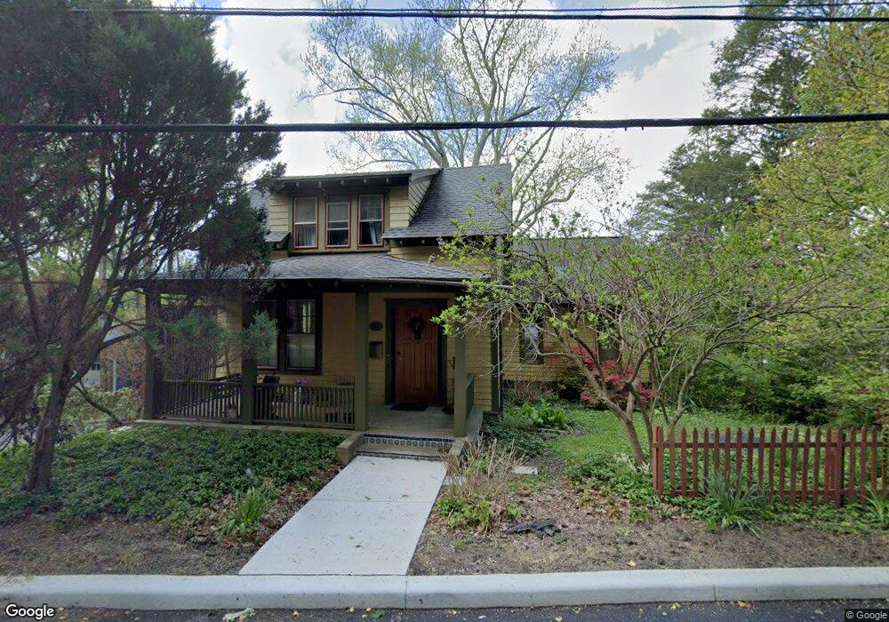
311 Commerce St Hawthorne, NY 10532
Estimated Value: $802,617 - $892,000
3
Beds
2
Baths
2,260
Sq Ft
$379/Sq Ft
Est. Value
About This Home
This home is located at 311 Commerce St, Hawthorne, NY 10532 and is currently estimated at $856,404, approximately $378 per square foot. 311 Commerce St is a home located in Westchester County with nearby schools including Hawthorne Elementary School, Columbus Elementary School, and Westlake Middle School.
Ownership History
Date
Name
Owned For
Owner Type
Purchase Details
Closed on
Nov 15, 1999
Sold by
Hoeltzel George Anthony and Hoeltzel Susan
Bought by
Twilley John W and Gaddis Sarah M
Current Estimated Value
Home Financials for this Owner
Home Financials are based on the most recent Mortgage that was taken out on this home.
Original Mortgage
$237,600
Interest Rate
8.75%
Mortgage Type
Purchase Money Mortgage
Create a Home Valuation Report for This Property
The Home Valuation Report is an in-depth analysis detailing your home's value as well as a comparison with similar homes in the area
Home Values in the Area
Average Home Value in this Area
Purchase History
| Date | Buyer | Sale Price | Title Company |
|---|---|---|---|
| Twilley John W | $297,000 | -- |
Source: Public Records
Mortgage History
| Date | Status | Borrower | Loan Amount |
|---|---|---|---|
| Previous Owner | Twilley John W | $237,600 |
Source: Public Records
Tax History Compared to Growth
Tax History
| Year | Tax Paid | Tax Assessment Tax Assessment Total Assessment is a certain percentage of the fair market value that is determined by local assessors to be the total taxable value of land and additions on the property. | Land | Improvement |
|---|---|---|---|---|
| 2024 | $13,713 | $6,900 | $1,000 | $5,900 |
| 2023 | $13,289 | $6,900 | $1,000 | $5,900 |
| 2022 | $13,047 | $6,900 | $1,000 | $5,900 |
| 2021 | $12,792 | $6,900 | $1,000 | $5,900 |
| 2020 | $12,545 | $6,900 | $1,000 | $5,900 |
| 2019 | $13,752 | $6,900 | $1,000 | $5,900 |
| 2018 | $17,984 | $6,900 | $1,000 | $5,900 |
| 2017 | $4,130 | $6,900 | $1,000 | $5,900 |
| 2016 | $12,375 | $6,900 | $1,000 | $5,900 |
| 2015 | -- | $6,900 | $1,000 | $5,900 |
| 2014 | -- | $6,900 | $1,000 | $5,900 |
| 2013 | -- | $6,900 | $1,000 | $5,900 |
Source: Public Records
Map
Nearby Homes
- 317 Elwood Ave
- 350 Commerce St
- 233 Brady Ave
- 237 Brady Ave
- 32 Weed Ave
- 404 Manhattan Ave
- 14 Aspen Way
- 324 Tuxedo Place
- 00 Belleview Ave
- 116 Rolling Hills Rd
- 16 Highclere Ln Unit A
- 1 Eunice Ln
- 18 Park St
- 865 Commerce St
- 3 Rolling Hills Rd
- 7 Elsa Ave
- 7 Fountain Dr
- 3 Clinton Ave
- 66 Leroy Ave
- 590 Bedford Rd Unit 7
- 27 Pearl St
- 30 Cross St E Unit 2nd Floor
- 30 Cross St E
- 25 Pearl St
- 297 Commerce St
- 315 Fort Washington Ave
- 24 Cross St E
- 26 Pearl St
- 312 Elwood Ave
- 316 Elwood Ave
- 31 Milford St
- 294 Elwood Ave
- 321 Fort Washington Ave
- 27 Cross St E
- 25 Cross St E
- 312 Fort Washington Ave
- 314 Fort Washington Ave
- 23 Cross St E
- 294 Fort Washington Ave
- 316 Fort Washington Ave