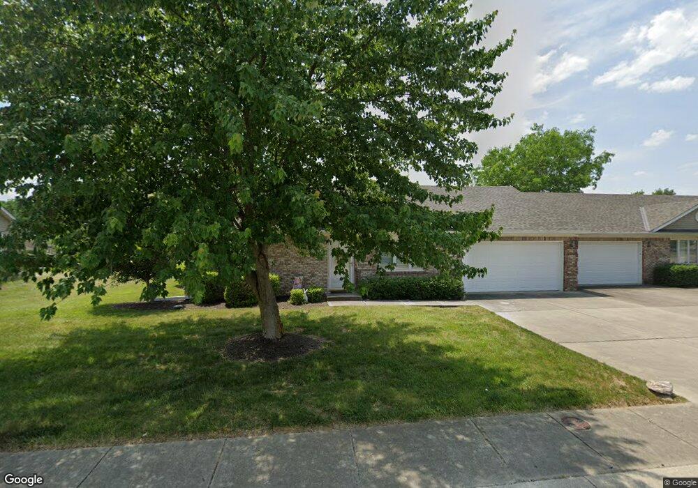
311 Dry Branch Dr Crawfordsville, IN 47933
Estimated Value: $204,000 - $207,000
2
Beds
2
Baths
1,343
Sq Ft
$153/Sq Ft
Est. Value
About This Home
This home is located at 311 Dry Branch Dr, Crawfordsville, IN 47933 and is currently estimated at $205,515, approximately $153 per square foot. 311 Dry Branch Dr is a home located in Montgomery County with nearby schools including Mollie B. Hoover Elementary School, Laura Hose Elementary School, and Meredith Nicholson Elementary School.
Ownership History
Date
Name
Owned For
Owner Type
Purchase Details
Closed on
Jul 28, 2017
Sold by
Pennock Long Geneva B and Pennock Long Geneva B
Bought by
Lovall Julia
Current Estimated Value
Purchase Details
Closed on
Jul 22, 2014
Sold by
Long Norman
Bought by
Long William N and Long Geneva B
Purchase Details
Closed on
Jul 19, 2014
Sold by
Cosby Freida F and Ingermann Pamel S
Bought by
Long Norman
Create a Home Valuation Report for This Property
The Home Valuation Report is an in-depth analysis detailing your home's value as well as a comparison with similar homes in the area
Home Values in the Area
Average Home Value in this Area
Purchase History
| Date | Buyer | Sale Price | Title Company |
|---|---|---|---|
| Lovall Julia | -- | None Available | |
| Long William N | -- | None Available | |
| Long Norman | -- | None Available |
Source: Public Records
Tax History Compared to Growth
Tax History
| Year | Tax Paid | Tax Assessment Tax Assessment Total Assessment is a certain percentage of the fair market value that is determined by local assessors to be the total taxable value of land and additions on the property. | Land | Improvement |
|---|---|---|---|---|
| 2024 | $2,048 | $168,900 | $19,800 | $149,100 |
| 2023 | $1,969 | $168,700 | $19,800 | $148,900 |
| 2022 | $1,858 | $152,000 | $19,800 | $132,200 |
| 2021 | $1,614 | $129,800 | $19,800 | $110,000 |
| 2020 | $1,558 | $126,700 | $19,800 | $106,900 |
| 2019 | $1,596 | $128,600 | $19,800 | $108,800 |
| 2018 | $1,239 | $119,300 | $16,200 | $103,100 |
| 2017 | $1,285 | $118,300 | $16,200 | $102,100 |
| 2016 | $616 | $114,200 | $16,200 | $98,000 |
| 2014 | $57 | $112,200 | $16,200 | $96,000 |
| 2013 | $57 | $109,400 | $16,200 | $93,200 |
Source: Public Records
Map
Nearby Homes
- 3 Sterling Ln
- 1 Sterling Ln
- 00 N Nucor Rd
- 00 E Co Rd 350 Rd S
- 00 E State Road 32
- 1603 John St
- 408 Hughes St
- 411 Vandalia Ct
- 917 S State Road 47
- 1503 Payton St
- 1121 Mill St
- 1404 Payton St
- 1107 Danville Ave
- 510 E Chestnut St
- 706.5 John St
- 605 Tuttle Ave
- 0 S Us 231 Unit MBR22024646
- 706 Mill St
- 515 S Water St
- 304 E Franklin St
- 309 Dry Branch Dr
- 313 Dry Branch Dr
- 313 Dry Branch Dr Unit 313
- 313 Dry Branch Dr Unit 309
- 315 Dry Branch Dr
- 307 Dry Branch Dr
- 324 Dry Branch Dr
- 374 Southfork Dr
- 320 Dry Branch Dr
- 370 Southfork Dr
- 370 Southfork Dr Unit 370
- 378 Southfork Dr
- 366 Southfork Dr
- 366 Southfork Dr Unit 11
- 305 Dry Branch Dr
- 362 Southfork Dr
- 372 S Fork Dr Unit 372
- 316 Dry Branch Dr
- 372 Southfork Dr
- 317 Dry Branch Dr