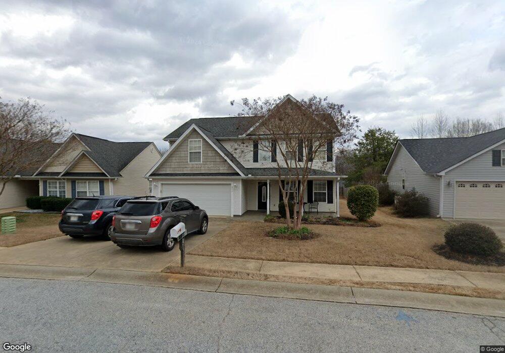
311 Lockport Way Spartanburg, SC 29301
Estimated Value: $296,000 - $329,000
3
Beds
2
Baths
2,280
Sq Ft
$136/Sq Ft
Est. Value
About This Home
This home is located at 311 Lockport Way, Spartanburg, SC 29301 and is currently estimated at $309,248, approximately $135 per square foot. 311 Lockport Way is a home located in Spartanburg County with nearby schools including River Ridge Elementary School, Florence Chapel Middle School, and Berry Shoals Intermediate School.
Ownership History
Date
Name
Owned For
Owner Type
Purchase Details
Closed on
Jan 3, 2006
Sold by
Tate Duane T and Tate Michelle S
Bought by
Umana Julio R and Umana Azucena
Current Estimated Value
Home Financials for this Owner
Home Financials are based on the most recent Mortgage that was taken out on this home.
Original Mortgage
$121,600
Interest Rate
6.22%
Mortgage Type
New Conventional
Create a Home Valuation Report for This Property
The Home Valuation Report is an in-depth analysis detailing your home's value as well as a comparison with similar homes in the area
Home Values in the Area
Average Home Value in this Area
Purchase History
| Date | Buyer | Sale Price | Title Company |
|---|---|---|---|
| Umana Julio R | $152,000 | None Available |
Source: Public Records
Mortgage History
| Date | Status | Borrower | Loan Amount |
|---|---|---|---|
| Closed | Umana Julio R | $121,600 |
Source: Public Records
Tax History Compared to Growth
Tax History
| Year | Tax Paid | Tax Assessment Tax Assessment Total Assessment is a certain percentage of the fair market value that is determined by local assessors to be the total taxable value of land and additions on the property. | Land | Improvement |
|---|---|---|---|---|
| 2025 | $1,212 | $7,628 | $898 | $6,730 |
| 2024 | $1,212 | $7,628 | $898 | $6,730 |
| 2023 | $1,212 | $7,628 | $898 | $6,730 |
| 2022 | $1,100 | $6,633 | $684 | $5,949 |
| 2021 | $1,100 | $6,633 | $684 | $5,949 |
| 2020 | $1,079 | $6,633 | $684 | $5,949 |
| 2019 | $1,076 | $6,633 | $684 | $5,949 |
| 2018 | $1,018 | $6,633 | $684 | $5,949 |
| 2017 | $897 | $5,768 | $760 | $5,008 |
| 2016 | $867 | $5,768 | $760 | $5,008 |
| 2015 | $826 | $5,768 | $760 | $5,008 |
| 2014 | $828 | $5,768 | $760 | $5,008 |
Source: Public Records
Map
Nearby Homes
- 223 Stockbridge Dr
- 155 Brewton Rd
- 640 Breckenwood Dr
- 505 Cambridge Dr
- 532 Cambridge Dr
- 805 Somerset Place
- 1035 Nazareth Church Rd
- 1066 Nazareth Church Rd
- 304 Hampshire Ct
- 380 Montagu Dr
- 00 E Fairmont Ave
- 321 Irby Rd
- 329 Tyler Rose Dr
- 0 Tibbs Dr
- 121 Cumberland Dr
- 1210 N Norwhich Ln
- 1136 S Norwhich Ln
- 710 Mosswood Ln
- 3675 Reidville Rd
- 269 Dartmoor Dr
- 307 Lockport Way
- 315 Lockport Way
- 208 Stockbridge Dr
- 204 Stockbridge Dr
- 319 Lockport Way
- 162 Stockbridge Dr
- 166 Stockbridge Dr
- 198 Stockbridge Dr
- 310 Lockport Way
- 216 Stockbridge Dr
- 212 Stockbridge Dr
- 314 Lockport Way
- 323 Lockport Way
- 154 Stockbridge Dr
- 308 Lockport Way
- 194 Stockbridge Dr
- 318 Lockport Way
- 220 Stockbridge Dr Unit 140
- 220 Stockbridge Dr
- 150 Stockbridge Dr