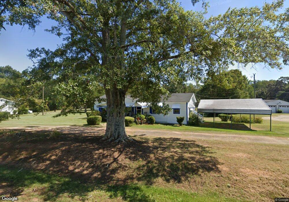
311 Mission Dr Athens, GA 30601
Estimated Value: $98,000 - $224,000
--
Bed
--
Bath
960
Sq Ft
$172/Sq Ft
Est. Value
About This Home
This home is located at 311 Mission Dr, Athens, GA 30601 and is currently estimated at $165,022, approximately $171 per square foot. 311 Mission Dr is a home located in Clarke County with nearby schools including Judia Jackson Harris Elementary School, Coile Middle School, and Cedar Shoals High School.
Ownership History
Date
Name
Owned For
Owner Type
Purchase Details
Closed on
Sep 27, 2018
Sold by
Rhodes Garnett Estate
Bought by
Rhodes Alonza James
Current Estimated Value
Purchase Details
Closed on
Oct 28, 2015
Sold by
Rhodes Garnett
Bought by
Rhodes Alonza James and Witcher Essie B
Create a Home Valuation Report for This Property
The Home Valuation Report is an in-depth analysis detailing your home's value as well as a comparison with similar homes in the area
Home Values in the Area
Average Home Value in this Area
Purchase History
| Date | Buyer | Sale Price | Title Company |
|---|---|---|---|
| Rhodes Alonza James | -- | -- | |
| Rhodes Alonza James | -- | -- |
Source: Public Records
Tax History Compared to Growth
Tax History
| Year | Tax Paid | Tax Assessment Tax Assessment Total Assessment is a certain percentage of the fair market value that is determined by local assessors to be the total taxable value of land and additions on the property. | Land | Improvement |
|---|---|---|---|---|
| 2025 | $368 | $42,629 | $13,272 | $29,357 |
| 2024 | $368 | $40,008 | $13,272 | $26,736 |
| 2023 | $371 | $33,423 | $9,954 | $23,469 |
| 2022 | $406 | $26,943 | $9,243 | $17,700 |
| 2021 | $332 | $19,943 | $6,648 | $13,295 |
| 2020 | $290 | $18,600 | $6,648 | $11,952 |
| 2019 | $254 | $17,482 | $6,648 | $10,834 |
| 2018 | $332 | $19,787 | $10,743 | $9,044 |
| 2017 | $332 | $19,787 | $10,743 | $9,044 |
| 2016 | $672 | $19,787 | $10,743 | $9,044 |
| 2015 | $673 | $19,787 | $10,743 | $9,044 |
| 2014 | $148 | $19,787 | $10,743 | $9,044 |
Source: Public Records
Map
Nearby Homes
- 325 Mission Dr
- 299 Mission Dr
- 285 Mission Dr
- 375 Mission Dr
- 385 Mission Dr
- 0 Mission Dr
- 395 Mission Dr
- 2440 Danielsville Rd
- 2440 Danielsville Rd
- 198 Berry Dr
- 190 Berry Dr
- 211 Mission Dr
- 195 Berry Dr
- 170 Berry Dr
- 200 Mission Dr
- 2572 Danielsville Rd
- 2590 Danielsville Rd
- 2610 Danielsville Rd
- 2620 Danielsville Rd
- 2560 Danielsville Rd