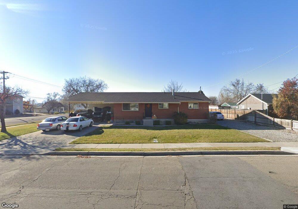
311 N 100 W American Fork, UT 84003
5
Beds
2
Baths
2,244
Sq Ft
0.25
Acres
About This Home
This home is located at 311 N 100 W, American Fork, UT 84003. 311 N 100 W is a home located in Utah County with nearby schools including Shelley Elementary School, American Fork Junior High School, and American Fork High School.
Ownership History
Date
Name
Owned For
Owner Type
Purchase Details
Closed on
Jul 15, 2019
Sold by
Ellison Cody and Ellison Brittany
Bought by
Ellison Cody and Ellison Brittany
Purchase Details
Closed on
Sep 26, 2018
Sold by
Ryan W Cook
Bought by
Ellison Cory and Ellison Brittany
Home Financials for this Owner
Home Financials are based on the most recent Mortgage that was taken out on this home.
Original Mortgage
$314,500
Interest Rate
4.65%
Purchase Details
Closed on
Feb 15, 2013
Sold by
Scoville Garry K
Bought by
Cook Ryan W
Home Financials for this Owner
Home Financials are based on the most recent Mortgage that was taken out on this home.
Original Mortgage
$216,015
Interest Rate
3.34%
Mortgage Type
FHA
Purchase Details
Closed on
Sep 3, 2004
Sold by
Rhodes Dennis and Rhodes Kristine
Bought by
Shumway Michael D and Ingerson Ernest D
Create a Home Valuation Report for This Property
The Home Valuation Report is an in-depth analysis detailing your home's value as well as a comparison with similar homes in the area
Home Values in the Area
Average Home Value in this Area
Purchase History
| Date | Buyer | Sale Price | Title Company |
|---|---|---|---|
| Ellison Cody | -- | None Available | |
| Egbert Brihton | -- | None Available | |
| Ellison Cory | -- | -- | |
| Cook Ryan W | -- | Empire Land Title Inc | |
| Shumway Michael D | -- | Mountain West Title Company |
Source: Public Records
Mortgage History
| Date | Status | Borrower | Loan Amount |
|---|---|---|---|
| Previous Owner | Ellison Cory | $314,500 | |
| Previous Owner | Ellison Cory | -- | |
| Previous Owner | Cook Ryan W | $216,015 |
Source: Public Records
Tax History Compared to Growth
Tax History
| Year | Tax Paid | Tax Assessment Tax Assessment Total Assessment is a certain percentage of the fair market value that is determined by local assessors to be the total taxable value of land and additions on the property. | Land | Improvement |
|---|---|---|---|---|
| 2020 | $0 | $0 | $0 | $0 |
| 2019 | $1,761 | $320,700 | $117,800 | $202,900 |
| 2018 | $1,604 | $279,400 | $127,500 | $151,900 |
| 2017 | $1,397 | $131,340 | $0 | $0 |
| 2016 | $1,462 | $127,710 | $0 | $0 |
| 2015 | $1,401 | $116,105 | $0 | $0 |
| 2014 | $1,235 | $100,980 | $0 | $0 |
Source: Public Records
Map
Nearby Homes
- 365 N 100 W
- 374 N Center St
- 105 N 100 W
- 129 W Pacific Dr
- 396 N 100 E
- 414 N 100 E
- 370 W Pacific Dr Unit 1
- 148 N 100 E
- 540 N 300 W
- 161 N Grant Ave
- 621 N 100 W
- 146 N Grant Ave
- 356 N 480 W
- 120 N 350 W Unit 127
- 120 N 350 W Unit 133
- 120 N 350 W Unit 130
- 55 S 200 W
- 788 N 150 E Unit 3
- 807 N 150 E
- 819 N 150 E Unit 6