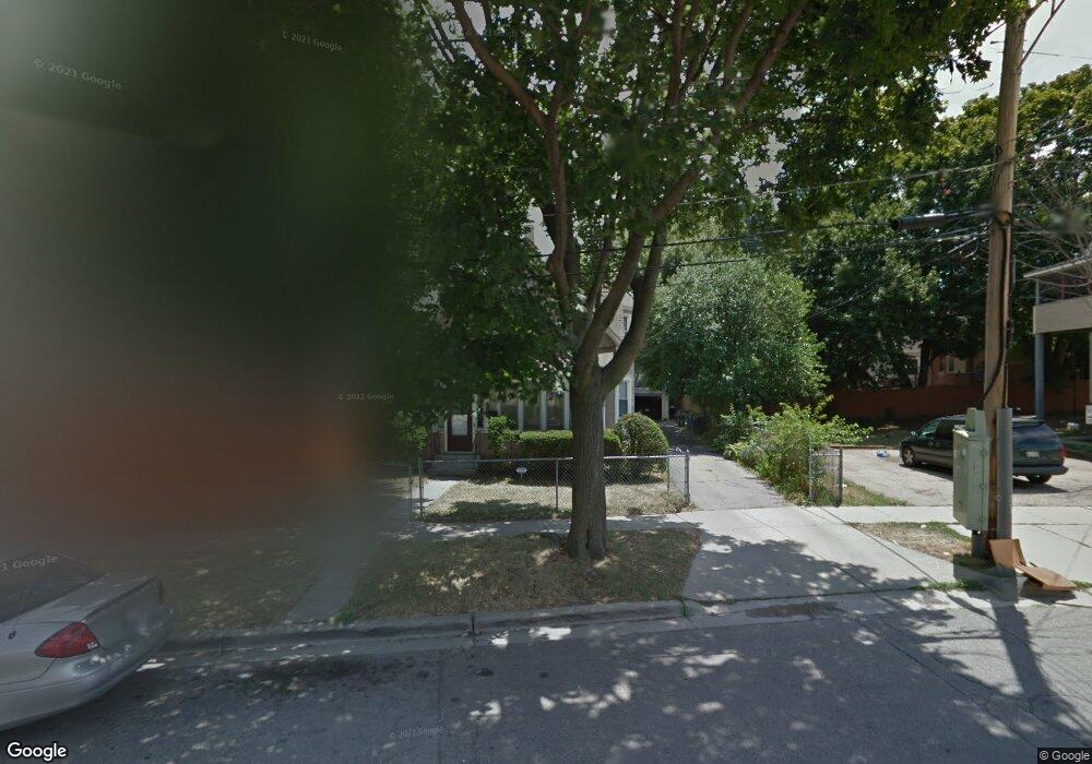
311 Percy St Elgin, IL 60120
Gifford Park NeighborhoodEstimated Value: $220,000 - $299,000
About This Home
This home is located at 311 Percy St, Elgin, IL 60120 and is currently estimated at $258,354, approximately $192 per square foot. 311 Percy St is a home located in Kane County with nearby schools including Channing Memorial Elementary School, Ellis Middle School, and Elgin High School.
Ownership History
We collect this data history from publicly available records. To have your information removed, we recommend requesting removal directly through your county’s website.
Purchase Details
Purchase Details
Home Values in the Area
Average Home Value in this Area
Purchase History
We collect this data history from publicly available records. To have your information removed, we recommend requesting removal directly through your county’s website.
| Date | Buyer | Sale Price | Title Company |
|---|---|---|---|
| -- | None Listed On Document | ||
| -- | None Listed On Document |
Mortgage History
We collect this data history from publicly available records. To have your information removed, we recommend requesting removal directly through your county’s website.
| Date | Status | Borrower | Loan Amount |
|---|---|---|---|
| Previous Owner | $172,250 | ||
| Previous Owner | $164,100 | ||
| Previous Owner | $20,000 |
Tax History
We collect this data history from publicly available records. To have your information removed, we recommend requesting removal directly through your county’s website.
| Year | Tax Paid | Tax Assessment Tax Assessment Total Assessment is a certain percentage of the fair market value that is determined by local assessors to be the total taxable value of land and additions on the property. | Land | Improvement |
|---|---|---|---|---|
| 2024 | $4,976 | $62,178 | $11,814 | $50,364 |
| 2023 | $4,788 | $56,173 | $10,673 | $45,500 |
| 2022 | $4,114 | $47,448 | $9,732 | $37,716 |
| 2021 | $3,422 | $44,361 | $9,099 | $35,262 |
| 2020 | $3,315 | $42,349 | $8,686 | $33,663 |
| 2019 | $3,207 | $40,340 | $8,274 | $32,066 |
| 2018 | $3,164 | $38,003 | $7,795 | $30,208 |
| 2017 | $3,078 | $35,926 | $7,369 | $28,557 |
| 2016 | $2,915 | $33,329 | $6,836 | $26,493 |
| 2015 | -- | $30,549 | $6,266 | $24,283 |
| 2014 | -- | $30,172 | $6,189 | $23,983 |
| 2013 | -- | $30,968 | $6,352 | $24,616 |
Map
- 217 Michigan St
- 255 Bartlett Place
- 153 Dawson Dr
- 501 Raymond St
- 384 E Chicago St
- 386 E Chicago St
- 142 Dawson Dr
- 131 Dawson Dr
- 132 Dawson Dr
- 700 Villa St
- 161 S Grove Ave
- 662 Bent St
- 630 Forest Ave
- 555 S Liberty St
- 453 Addison St
- 214 S State St
- 821 Bode Rd Unit 4
- 14 Highland Ave
- 410 Standish St
- 880 Carmella Ln
Ask me questions while you tour the home.