Estimated Value: $182,000 - $355,533
Studio
--
Bath
1,823
Sq Ft
$129/Sq Ft
Est. Value
About This Home
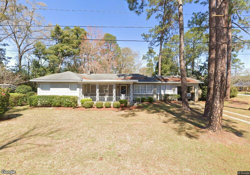
This home is located at 311 Phillips St, Adel, GA 31620 and is currently estimated at $234,633, approximately $128 per square foot. 311 Phillips St is a home located in Cook County with nearby schools including Cook Primary School, Cook Elementary School, and Cook County Middle School.
Ownership History
Date
Name
Owned For
Owner Type
Purchase Details
Closed on
Oct 19, 2023
Sold by
Barnes John R
Bought by
Cochran Dustin and Elliott Haley
Current Estimated Value
Home Financials for this Owner
Home Financials are based on the most recent Mortgage that was taken out on this home.
Original Mortgage
$300,000
Outstanding Balance
$292,803
Interest Rate
7.19%
Mortgage Type
New Conventional
Estimated Equity
-$58,170
Purchase Details
Closed on
Sep 29, 2022
Sold by
Booth Jon Randall
Bought by
Barnes John R and Barnes Melanie B
Purchase Details
Closed on
May 6, 2016
Sold by
Barnes Melanie Booth
Bought by
Booth Jon Randall
Purchase Details
Closed on
Oct 30, 2014
Sold by
Booth Mell E
Bought by
Barnes Melanie Booth
Create a Home Valuation Report for This Property
The Home Valuation Report is an in-depth analysis detailing your home's value as well as a comparison with similar homes in the area
Home Values in the Area
Average Home Value in this Area
Purchase History
| Date | Buyer | Sale Price | Title Company |
|---|---|---|---|
| Cochran Dustin | $355,000 | -- | |
| Barnes John R | -- | -- | |
| Booth Jon Randall | $10,000 | -- | |
| Barnes Melanie Booth | -- | -- |
Source: Public Records
Mortgage History
| Date | Status | Borrower | Loan Amount |
|---|---|---|---|
| Open | Cochran Dustin | $300,000 |
Source: Public Records
Tax History
| Year | Tax Paid | Tax Assessment Tax Assessment Total Assessment is a certain percentage of the fair market value that is determined by local assessors to be the total taxable value of land and additions on the property. | Land | Improvement |
|---|---|---|---|---|
| 2025 | $1,493 | $48,383 | $8,855 | $39,528 |
| 2024 | $1,424 | $43,230 | $7,000 | $36,230 |
| 2023 | $1,230 | $37,354 | $6,250 | $31,104 |
| 2022 | $1,230 | $37,354 | $6,250 | $31,104 |
| 2021 | $1,113 | $31,565 | $6,250 | $25,315 |
| 2020 | $1,113 | $31,565 | $6,250 | $25,315 |
| 2019 | $1,114 | $31,565 | $6,250 | $25,315 |
| 2018 | $1,115 | $31,565 | $6,250 | $25,315 |
| 2017 | $1,115 | $31,565 | $6,250 | $25,315 |
| 2016 | $1,116 | $31,565 | $6,250 | $25,315 |
| 2015 | $1,118 | $31,565 | $6,250 | $25,315 |
| 2014 | $898 | $31,565 | $6,250 | $25,315 |
| 2013 | -- | $31,565 | $6,250 | $25,315 |
Source: Public Records
Map
Nearby Homes
- 806 S Forrest Ave
- 321 Spanish Moss Ln
- 804 S Forrest Ave
- 413 Honeysuckle Way
- 513 Spanish Moss Ln
- 411 S Hutchinson Ave
- 509 E 8th St
- 507 S Poplar St
- 317 Brookside Dr
- 211 S Gordon Ave
- 322 Magnolia Dr
- 609 E 4th St
- 729 W 7th St
- 708 Town And Country Dr
- 315 Newton Dr
- 701 Gloria St
- 11 Antioch Rd
- 7051 Antioch Rd
- 4.23AC Jm Dr
- 3 Caulie Harris Rd
- 818 S Gordon Ave
- 811 S Gordon Ave
- 900 S Gordon Ave
- 306 Phillip St
- 816 S Gordon Ave
- 304 Phillip St
- 901 Carol St
- 901 S Gordon Ave
- 901 S Gordon Ave
- 812 S Gordon Ave
- 807 S Gordon Ave
- 903 S Gordon Ave
- 903 Carol St
- 903 S Carol
- 307 Rogers St
- 309 Rogers St
- 808 S Gordon Ave
- 808 S Gordon Ave
- 801 S Gordon Ave
- 911 Carol St
Your Personal Tour Guide
Ask me questions while you tour the home.