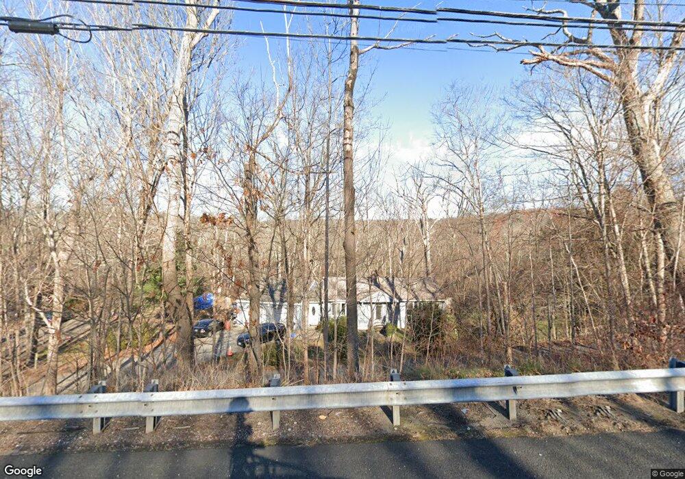
311 Route 6 Andover, CT 06232
Estimated Value: $320,312 - $422,000
2
Beds
2
Baths
1,181
Sq Ft
$301/Sq Ft
Est. Value
About This Home
This home is located at 311 Route 6, Andover, CT 06232 and is currently estimated at $355,078, approximately $300 per square foot. 311 Route 6 is a home located in Tolland County with nearby schools including Andover Elementary School, RHAM Middle School, and RHAM High School.
Ownership History
Date
Name
Owned For
Owner Type
Purchase Details
Closed on
Aug 9, 2006
Sold by
Geraci Lawrence and Geraci Patricia
Bought by
Schatz Ronald
Current Estimated Value
Home Financials for this Owner
Home Financials are based on the most recent Mortgage that was taken out on this home.
Original Mortgage
$200,000
Outstanding Balance
$115,044
Interest Rate
6%
Estimated Equity
$240,034
Purchase Details
Closed on
Oct 19, 1992
Sold by
Boisvert Paul
Bought by
Munsell Albert and Munsell Patricia
Create a Home Valuation Report for This Property
The Home Valuation Report is an in-depth analysis detailing your home's value as well as a comparison with similar homes in the area
Home Values in the Area
Average Home Value in this Area
Purchase History
| Date | Buyer | Sale Price | Title Company |
|---|---|---|---|
| Schatz Ronald | $230,000 | -- | |
| Schatz Ronald | $230,000 | -- | |
| Munsell Albert | $115,000 | -- | |
| Munsell Albert | $115,000 | -- |
Source: Public Records
Mortgage History
| Date | Status | Borrower | Loan Amount |
|---|---|---|---|
| Open | Munsell Albert | $200,000 | |
| Closed | Munsell Albert | $200,000 | |
| Previous Owner | Munsell Albert | $182,050 |
Source: Public Records
Tax History Compared to Growth
Tax History
| Year | Tax Paid | Tax Assessment Tax Assessment Total Assessment is a certain percentage of the fair market value that is determined by local assessors to be the total taxable value of land and additions on the property. | Land | Improvement |
|---|---|---|---|---|
| 2025 | $4,314 | $136,570 | $30,170 | $106,400 |
| 2024 | $4,296 | $136,570 | $30,170 | $106,400 |
| 2023 | $4,273 | $136,570 | $30,170 | $106,400 |
| 2022 | $4,358 | $136,570 | $30,170 | $106,400 |
| 2021 | $4,007 | $111,300 | $30,700 | $80,600 |
| 2020 | $3,938 | $110,600 | $30,700 | $79,900 |
| 2019 | $3,870 | $110,600 | $30,700 | $79,900 |
| 2018 | $3,755 | $110,600 | $30,700 | $79,900 |
| 2017 | $3,595 | $110,600 | $30,700 | $79,900 |
| 2016 | $4,006 | $130,400 | $39,600 | $90,800 |
| 2015 | $4,006 | $130,400 | $39,600 | $90,800 |
| 2014 | $4,006 | $130,400 | $39,600 | $90,800 |
Source: Public Records
Map
Nearby Homes
- 0 Us Highway 6
- 0 Wheeling Rd Unit 24116879
- 40 Wheeling Rd
- 00 Bunker Hill Rd
- 0 Skinner Hill Rd Unit 24077239
- 53 Skinner Hill Rd
- 105 School Rd
- 273 Hebron Rd
- 217 Hebron Rd
- 239 Lake Rd
- 126 Hebron Rd
- 9 Tumblebrook Rd
- 17 Ireland Dr
- 34 Hanover Farms Rd
- 43 Route 87
- 38 John Paul Ln
- 219 Reynolds Dr
- 83 Morin Ave
- 48 Lakeview Dr
- 1902 South St
- 0 Shoddy Mill Rd Unit G516681
- 0 Shoddy Mill Rd Unit G555036
- 0 Shoddy Mill Rd Unit G561172
- 0 Shoddy Mill Rd Unit G609778
- 0 Shoddy Mill Rd Unit G632321
- 0 Shoddy Mill Rd Unit G10045029
- 0 Shoddy Mill Rd Unit G10216753
- 0 Shoddy Mill Rd
- 0 Shoddy Mill Rd Unit 170514263
- 0 Shoddy Mill Rd Unit 170469594
- 0 Shoddy Mill Rd Unit 170362020
- 0 Shoddy Mill Rd Unit 170269769
- 305 Route 6
- B1 Shoddy Mill Rd
- 315 Route 6
- Lot 4 Shoddy Mill Rd
- 21 Shoddy Mill Rd
- 10 Shoddy Mill Rd
- 7 Shoddy Mill Rd
- 15 Shoddy Mill Rd