Estimated Value: $281,000 - $308,000
4
Beds
3
Baths
2,568
Sq Ft
$115/Sq Ft
Est. Value
About This Home
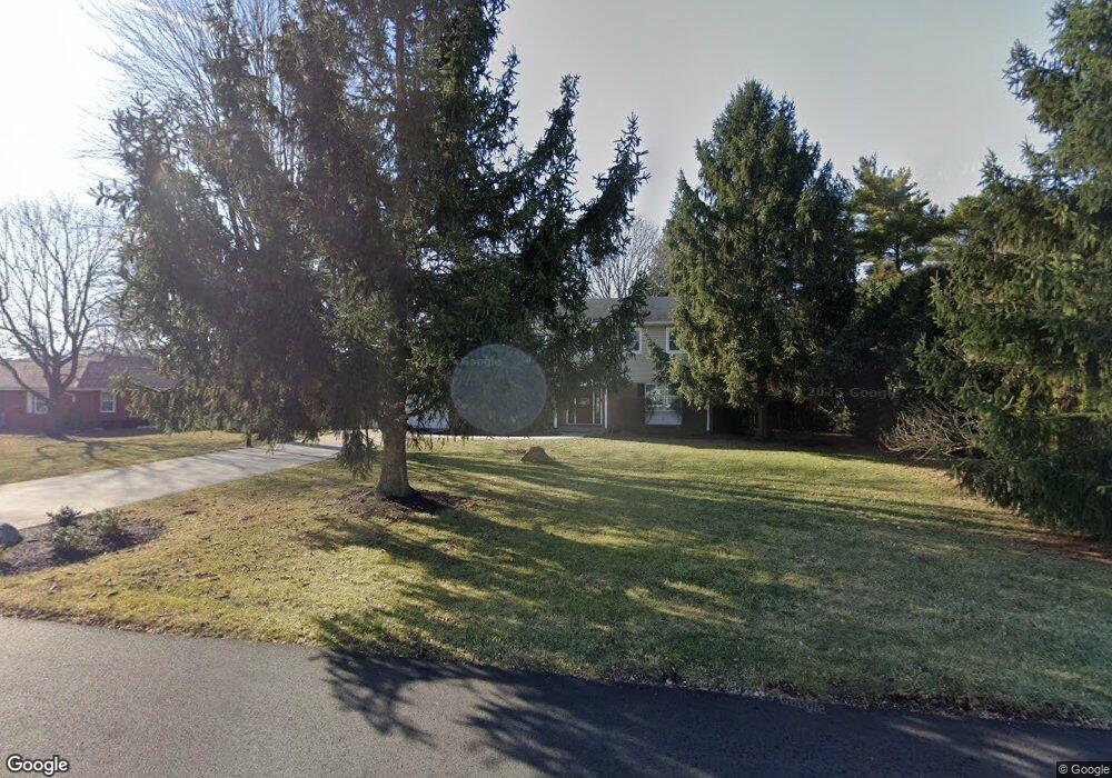
This home is located at 311 S Park Dr, Ada, OH 45810 and is currently estimated at $295,946, approximately $115 per square foot. 311 S Park Dr is a home located in Hardin County with nearby schools including Ada Elementary School and Ada High School.
Ownership History
Date
Name
Owned For
Owner Type
Purchase Details
Closed on
Jul 19, 2012
Sold by
Oliver Nathan E and Oliver Aish
Bought by
Ludwig Matthew Scott and Ludwig Rachel Anne
Current Estimated Value
Home Financials for this Owner
Home Financials are based on the most recent Mortgage that was taken out on this home.
Original Mortgage
$125,280
Outstanding Balance
$86,356
Interest Rate
3.64%
Mortgage Type
New Conventional
Estimated Equity
$209,590
Purchase Details
Closed on
Feb 26, 1998
Bought by
Larue Stella A
Purchase Details
Closed on
Jun 12, 1992
Create a Home Valuation Report for This Property
The Home Valuation Report is an in-depth analysis detailing your home's value as well as a comparison with similar homes in the area
Home Values in the Area
Average Home Value in this Area
Purchase History
| Date | Buyer | Sale Price | Title Company |
|---|---|---|---|
| Ludwig Matthew Scott | $156,600 | None Available | |
| Larue Stella A | -- | -- | |
| -- | $125,000 | -- |
Source: Public Records
Mortgage History
| Date | Status | Borrower | Loan Amount |
|---|---|---|---|
| Open | Ludwig Matthew Scott | $125,280 |
Source: Public Records
Tax History Compared to Growth
Tax History
| Year | Tax Paid | Tax Assessment Tax Assessment Total Assessment is a certain percentage of the fair market value that is determined by local assessors to be the total taxable value of land and additions on the property. | Land | Improvement |
|---|---|---|---|---|
| 2024 | $3,067 | $77,800 | $11,340 | $66,460 |
| 2023 | $3,067 | $77,800 | $11,340 | $66,460 |
| 2022 | $2,808 | $62,370 | $9,750 | $52,620 |
| 2021 | $3,086 | $62,370 | $9,750 | $52,620 |
| 2020 | $3,129 | $62,370 | $9,750 | $52,620 |
| 2019 | $2,772 | $55,870 | $9,290 | $46,580 |
| 2018 | $2,713 | $55,870 | $9,290 | $46,580 |
| 2017 | $2,599 | $55,870 | $9,290 | $46,580 |
| 2016 | $2,543 | $56,390 | $5,110 | $51,280 |
| 2015 | $2,464 | $56,390 | $5,110 | $51,280 |
| 2014 | $2,482 | $56,390 | $5,110 | $51,280 |
| 2013 | $2,798 | $62,080 | $5,110 | $56,970 |
Source: Public Records
Map
Nearby Homes
- 710 S Main St
- 314 E University Ave
- 623 S Gilbert St
- 617 S Gilbert St
- 308-310 S Simon St
- 613 S Gilbert St
- 301 S Main St
- 212 N Simon St
- 118 W Buckeye Ave
- 211 S Main St
- 211 W Buckeye Ave Unit 211 1/2
- 210 N Gilbert St
- 442 Edwards St
- 444 Edwards St Unit A, B
- 444 Edwards St Unit 2
- 128 W North Ave
- 629 N Main St
- 4071 Township Road 35
- 2864 Ohio 309
- 3931 County Road 80