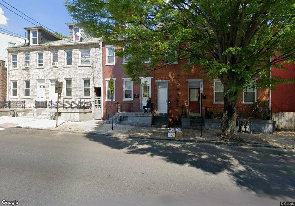
311 S Queen St Lancaster, PA 17603
Churchtowne NeighborhoodEstimated Value: $179,000 - $200,807
4
Beds
2
Baths
1,625
Sq Ft
$116/Sq Ft
Est. Value
About This Home
This home is located at 311 S Queen St, Lancaster, PA 17603 and is currently estimated at $188,702, approximately $116 per square foot. 311 S Queen St is a home located in Lancaster County with nearby schools including Carter & MacRae Elementary School, Reynolds Middle School, and McCaskey High School.
Ownership History
Date
Name
Owned For
Owner Type
Purchase Details
Closed on
May 28, 2003
Sold by
Blessing Wesley S and Blessing Wesley Scott
Bought by
Federal National Mortgage Association
Current Estimated Value
Purchase Details
Closed on
May 15, 2001
Sold by
Shingler Howard R and Shingler Deborah F
Bought by
Blessing Wesley Scott
Home Financials for this Owner
Home Financials are based on the most recent Mortgage that was taken out on this home.
Original Mortgage
$34,400
Interest Rate
7.05%
Create a Home Valuation Report for This Property
The Home Valuation Report is an in-depth analysis detailing your home's value as well as a comparison with similar homes in the area
Home Values in the Area
Average Home Value in this Area
Purchase History
| Date | Buyer | Sale Price | Title Company |
|---|---|---|---|
| Federal National Mortgage Association | $2,126 | -- | |
| Blessing Wesley Scott | $34,900 | -- |
Source: Public Records
Mortgage History
| Date | Status | Borrower | Loan Amount |
|---|---|---|---|
| Previous Owner | Blessing Wesley Scott | $34,400 |
Source: Public Records
Tax History Compared to Growth
Tax History
| Year | Tax Paid | Tax Assessment Tax Assessment Total Assessment is a certain percentage of the fair market value that is determined by local assessors to be the total taxable value of land and additions on the property. | Land | Improvement |
|---|---|---|---|---|
| 2025 | $2,493 | $63,000 | $12,500 | $50,500 |
| 2024 | $2,493 | $63,000 | $12,500 | $50,500 |
| 2023 | $2,451 | $63,000 | $12,500 | $50,500 |
| 2022 | $2,349 | $63,000 | $12,500 | $50,500 |
| 2021 | $2,299 | $63,000 | $12,500 | $50,500 |
| 2020 | $2,299 | $63,000 | $12,500 | $50,500 |
| 2019 | $2,264 | $63,000 | $12,500 | $50,500 |
| 2018 | $907 | $63,000 | $12,500 | $50,500 |
| 2017 | $2,751 | $59,900 | $7,100 | $52,800 |
| 2016 | $2,726 | $59,900 | $7,100 | $52,800 |
| 2015 | $1,064 | $59,900 | $7,100 | $52,800 |
| 2014 | $1,952 | $59,900 | $7,100 | $52,800 |
Source: Public Records
Map
Nearby Homes
- 316 Beaver St
- 513 Howard Ave
- 341 S Prince St
- 507 Locust St
- 348 S Prince St
- 14 E Farnum St
- 462 S Christian St
- 459 S Queen St
- 506 Beaver St
- 536 Woodward St
- 442 Fremont St
- 114 S Prince St
- 520 S Duke St
- 555 Woodward St
- 543 S Prince St
- 458 Poplar St
- 567 S Christian St
- 215 W Vine St
- 217 W Vine St
- 14 S Queen St
- 313 S Queen St
- 313 1/2 S Queen St
- 317 S Queen St
- 309 S Queen St
- 319 S Queen St
- 307 S Queen St
- 535 Church St
- 535 Church St Unit 1
- 534 Howard Ave
- 314 S Queen St
- 537 Church St
- 533 Church St
- 532 Howard Ave
- 531 Church St
- 530 Howard Ave
- 312 S Queen St
- 529 Church St
- 528 Howard Ave
- 527 Church St
- 322 S Queen St