311 Southeast Rd Block Island, RI 02807
Estimated Value: $1,460,000 - $1,619,000
1
Bed
2
Baths
1,076
Sq Ft
$1,405/Sq Ft
Est. Value
About This Home
This home is located at 311 Southeast Rd, Block Island, RI 02807 and is currently estimated at $1,511,319, approximately $1,404 per square foot. 311 Southeast Rd is a home with nearby schools including Block Island School.
Ownership History
Date
Name
Owned For
Owner Type
Purchase Details
Closed on
Nov 22, 2013
Sold by
Blackburn Marie L
Bought by
Lehsau-Findlay Dorothy A
Current Estimated Value
Home Financials for this Owner
Home Financials are based on the most recent Mortgage that was taken out on this home.
Original Mortgage
$375,000
Outstanding Balance
$282,669
Interest Rate
4.35%
Estimated Equity
$1,228,650
Create a Home Valuation Report for This Property
The Home Valuation Report is an in-depth analysis detailing your home's value as well as a comparison with similar homes in the area
Home Values in the Area
Average Home Value in this Area
Purchase History
| Date | Buyer | Sale Price | Title Company |
|---|---|---|---|
| Lehsau-Findlay Dorothy A | $725,000 | -- | |
| Lehsau-Findlay Dorothy A | $725,000 | -- |
Source: Public Records
Mortgage History
| Date | Status | Borrower | Loan Amount |
|---|---|---|---|
| Open | Lehsau-Findlay Dorothy A | $375,000 | |
| Previous Owner | Lehsau-Findlay Dorothy A | $241,500 | |
| Previous Owner | Lehsau-Findlay Dorothy A | $284,500 |
Source: Public Records
Tax History Compared to Growth
Tax History
| Year | Tax Paid | Tax Assessment Tax Assessment Total Assessment is a certain percentage of the fair market value that is determined by local assessors to be the total taxable value of land and additions on the property. | Land | Improvement |
|---|---|---|---|---|
| 2024 | $5,447 | $986,800 | $593,000 | $393,800 |
| 2023 | $5,941 | $986,800 | $593,000 | $393,800 |
| 2022 | $4,732 | $668,400 | $526,880 | $141,520 |
| 2021 | $4,478 | $668,400 | $526,880 | $141,520 |
| 2020 | $4,251 | $668,400 | $526,880 | $141,520 |
| 2019 | $4,117 | $668,400 | $526,880 | $141,520 |
| 2018 | $3,973 | $667,680 | $520,720 | $146,960 |
| 2017 | $3,913 | $667,680 | $520,720 | $146,960 |
| 2016 | $3,819 | $667,680 | $520,720 | $146,960 |
| 2015 | $5,826 | $1,057,300 | $867,900 | $189,400 |
| 2014 | $5,646 | $1,057,300 | $867,900 | $189,400 |
| 2013 | $5,524 | $1,060,200 | $867,900 | $192,300 |
Source: Public Records
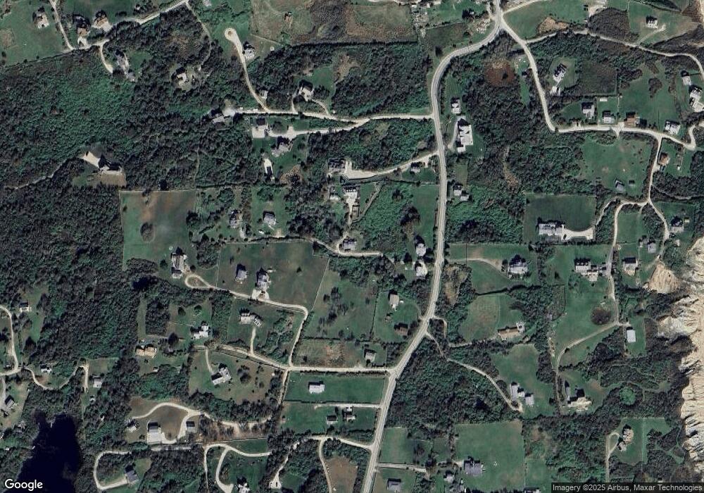
Map
Nearby Homes
- 0 Spring St
- 0 Southeast Rd Unit 1381406
- 0 Pilot Hill Rd
- 194 Pilot Hill Rd
- 1289 High St
- 256 High St
- 804 Mohegan Trail
- 1661 Sand Pond Rd
- 481 Old Town Rd
- 0 Mohegan Trail
- 1035 Mohegan Trail
- 1448 Mohegan Trail
- 1087 Lakeside Dr
- 0 Snake Hole Rd
- 1501 Beacon Hill Rd
- 1743 Corn Neck Rd
- 1328 Cooneymus Rd
- 1720 Corn Neck Rd
- 0 Coast Guard Rd
- 1713 Corn Neck Rd
- 311 Spring St
- 312 Southeast Rd
- 316 Southeast Rd
- 1226 Southeast Rd
- 319 Southeast Rd
- 1628 Southeast Rd
- 309 Southeast Rd
- 433 Southeast Rd
- 91221 Mohegan Trail
- 9 Mohegan Trail
- 320 Southeast Rd
- 314 Southeast Rd
- 318 Pilot Hill Rd
- 314 Spring St
- 1266 Southeast Rd
- 1277 Spring St
- 306 Southeast Rd
- 1242 Spring St
- 998 Southeast Rd
- 1228 Southeast Rd