311 Tollgate Rd Abingdon, MD 21009
Estimated Value: $249,000
Studio
--
Bath
--
Sq Ft
213,444
Sq Ft Lot
About This Home
This home is located at 311 Tollgate Rd, Abingdon, MD 21009 and is currently estimated at $249,000. 311 Tollgate Rd is a home located in Harford County with nearby schools including Emmorton Elementary School, Bel Air Middle School, and Bel Air High School.
Ownership History
Date
Name
Owned For
Owner Type
Purchase Details
Closed on
May 14, 2010
Sold by
Tollgate Construction I Llc
Bought by
Monmouth Meadows Community Association I
Current Estimated Value
Purchase Details
Closed on
Oct 2, 2006
Sold by
Posner Victor Estate Of
Bought by
Tollgate Construction I Llc
Purchase Details
Closed on
Aug 17, 2006
Sold by
Posner Victor Estate Of
Bought by
Tollgate Construction I Llc
Purchase Details
Closed on
Dec 14, 2005
Sold by
Posner Victor Estate Of
Bought by
Tollgate Construction Llc
Purchase Details
Closed on
Aug 4, 2004
Sold by
Posner Victor Estate Of
Bought by
Posner Victor Estate Of
Create a Home Valuation Report for This Property
The Home Valuation Report is an in-depth analysis detailing your home's value as well as a comparison with similar homes in the area
Home Values in the Area
Average Home Value in this Area
Purchase History
| Date | Buyer | Sale Price | Title Company |
|---|---|---|---|
| Monmouth Meadows Community Association I | -- | -- | |
| Tollgate Construction I Llc | -- | -- | |
| Posner Victor Estate Of | -- | -- | |
| Tollgate Construction I Llc | -- | -- | |
| Posner Victor Estate Of | -- | -- | |
| Tollgate Construction Llc | -- | -- | |
| Posner Victor Estate Of | -- | -- |
Source: Public Records
Tax History
| Year | Tax Paid | Tax Assessment Tax Assessment Total Assessment is a certain percentage of the fair market value that is determined by local assessors to be the total taxable value of land and additions on the property. | Land | Improvement |
|---|---|---|---|---|
| 2025 | -- | $0 | $0 | $0 |
| 2024 | -- | $0 | $0 | $0 |
| 2023 | -- | $0 | $0 | $0 |
| 2022 | $0 | $0 | $0 | $0 |
| 2021 | -- | $0 | $0 | $0 |
| 2020 | $3,981 | $0 | $0 | $0 |
| 2019 | $0 | $0 | $0 | $0 |
| 2018 | $0 | $0 | $0 | $0 |
| 2017 | $0 | $0 | $0 | $0 |
| 2016 | -- | $0 | $0 | $0 |
| 2015 | -- | $0 | $0 | $0 |
| 2014 | -- | $0 | $0 | $0 |
Source: Public Records
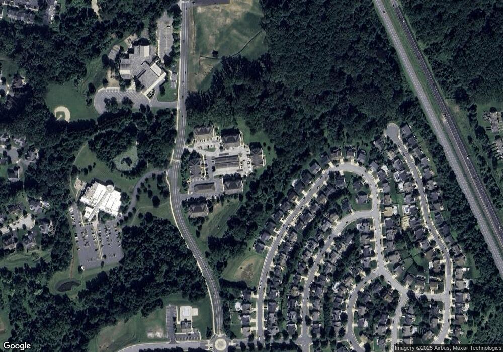
Map
Nearby Homes
- 419 Clydebank Dr
- 311 Tiree Ct Unit 401
- 2815 Lanarkshire Way
- 566 Kirkcaldy Way
- 589 Kirkcaldy Way
- 400 Teresa Marie Ct
- 301 Tall Pines Ct Unit A
- 309 Tall Pines Ct Unit 7
- 2310 Bell's Tower Ct
- 2306 Bells Tower Ct
- 2302 Arthurs Woods Dr
- 525 Kirkcaldy Way
- 311 Laurel Woods Dr
- 2802 Haddaway Ct
- 2818 Singer Woods Dr
- 202 Burkwood Ct
- 108 Laurel Valley Ct
- 201 Burkwood Ct
- 452 Deer Hill Cir
- 113 Laurel Valley Ct
- 305 Tiree Ct
- 305 Tiree Ct Unit 301
- 305 Tiree Ct Unit 303
- 305 Tiree Ct Unit 402
- 305 Tiree Ct Unit 204
- 305 Tiree Ct Unit 203
- 305 Tiree Ct Unit 102
- 305 Tiree Ct Unit 404
- 305 Tiree Ct Unit 202
- 305 Tiree Ct Unit 304
- 305 Tiree Ct Unit 103
- 305 Tiree Ct Unit 302
- 305 Tiree Ct Unit 401
- 305 Tiree Ct
- 305 Tiree Ct Unit 201
- 305 Tiree Ct
- 305 Tiree Ct Unit 101
- 438 Clydebank Dr
- 440 Clydebank Dr
- 436 Clydebank Dr
Your Personal Tour Guide
Ask me questions while you tour the home.