


311 Tomme Rd Lagrange, GA 30240
Estimated payment $885/month
Highlights
- Partially Wooded Lot
- Wood Flooring
- No HOA
- Traditional Architecture
- Great Room
- Country Kitchen
About This Home
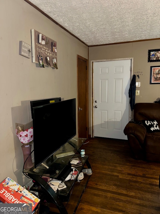
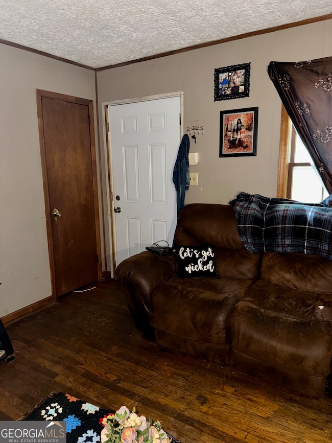
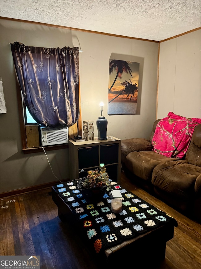
Charming country-style retreat tucked away on approximately 5.59 acres of serene land! This property offers a rare blend of tranquility and potential, ideal for those looking to escape the hustle while staying within reach of LaGrange and West Point. With over 5.5 acres, there's plenty of space to expand, garden, or simply enjoy nature and peace. Hardwood flooring gives the interior warmth and charm in this cozy 3-bedroom, 1 bath bungalow. This is a perfect opportunity for someone with a vision-restore and expand, keep it as is, or possibility to subdivide the land for a second home. Rural charm, peaceful surroundings, and yet reachable to town. Don't miss your chance to make this your personal retreat or investment project. Easy access to shopping, schools, and I-85 access.
Listing Agent
Coldwell Banker Spinks Brown Brokerage Phone: 706-594-6344 License #358214 Listed on: 09/29/2025

Home Details
Home Type
- Single Family
Est. Annual Taxes
- $1,138
Year Built
- Built in 1969
Lot Details
- 5.59 Acre Lot
- Level Lot
- Open Lot
- Cleared Lot
- Partially Wooded Lot
- Grass Covered Lot
Parking
- Off-Street Parking
Home Design
- Traditional Architecture
- Bungalow
- Block Foundation
- Composition Roof
- Vinyl Siding
Interior Spaces
- 900 Sq Ft Home
- 1-Story Property
- Great Room
- Wood Flooring
- Country Kitchen
Bedrooms and Bathrooms
- 3 Main Level Bedrooms
- 1 Full Bathroom
Schools
- Long Cane Elementary And Middle School
- Troup County High School
Utilities
- Central Heating and Cooling System
- Well
- Septic Tank
Community Details
- No Home Owners Association
Listing and Financial Details
- Tax Lot 2A1
Map
Home Values in the Area
Average Home Value in this Area
Tax History
| Year | Tax Paid | Tax Assessment Tax Assessment Total Assessment is a certain percentage of the fair market value that is determined by local assessors to be the total taxable value of land and additions on the property. | Land | Improvement |
|---|---|---|---|---|
| 2024 | $1,138 | $41,712 | $18,520 | $23,192 |
| 2023 | $1,060 | $38,872 | $18,520 | $20,352 |
| 2022 | $1,054 | $37,752 | $18,520 | $19,232 |
| 2021 | $890 | $29,520 | $15,440 | $14,080 |
| 2020 | $890 | $29,520 | $15,440 | $14,080 |
| 2019 | $878 | $29,120 | $15,440 | $13,680 |
| 2018 | $842 | $27,912 | $15,440 | $12,472 |
| 2017 | $842 | $27,912 | $15,440 | $12,472 |
| 2016 | $829 | $27,502 | $15,473 | $12,029 |
| 2015 | $831 | $27,502 | $15,473 | $12,029 |
| 2014 | $818 | $27,017 | $15,473 | $11,544 |
| 2013 | -- | $28,040 | $15,473 | $12,567 |
Property History
| Date | Event | Price | List to Sale | Price per Sq Ft |
|---|---|---|---|---|
| 09/29/2025 09/29/25 | For Sale | $150,000 | -- | $167 / Sq Ft |
Purchase History
| Date | Type | Sale Price | Title Company |
|---|---|---|---|
| Deed | -- | -- | |
| Deed | -- | -- | |
| Warranty Deed | $85,000 | -- | |
| Warranty Deed | $17,000 | -- | |
| Deed | -- | -- | |
| Deed | -- | -- |
Source: Georgia MLS
MLS Number: 10614724
APN: 057-0-000-095
Disclaimer: Certain information contained herein is derived from information provided by parties other than Homes.com. All information provided is deemed reliable, but is not guaranteed to be accurate and should be independently verified.
![]() The data relating to real estate for sale on this web site comes in part from the Broker Reciprocity Program of Georgia MLS. Real estate listings held by brokerage firms other than Redfin are marked with the Broker Reciprocity logo and detailed information about them includes the name of the listing brokers. Information deemed reliable but not guaranteed. Copyright 2025 Georgia MLS. All rights reserved.
The data relating to real estate for sale on this web site comes in part from the Broker Reciprocity Program of Georgia MLS. Real estate listings held by brokerage firms other than Redfin are marked with the Broker Reciprocity logo and detailed information about them includes the name of the listing brokers. Information deemed reliable but not guaranteed. Copyright 2025 Georgia MLS. All rights reserved.
- 2067 Bartley Rd
- 201 Harris Walk
- 201 Harris Walk Unit 20
- 204 Harris Walk
- 206 Harris Walk Unit 81
- 208 Harris Walk Unit 80
- 205 Harris Walk Unit 22
- 204 Harris Walk Unit 82
- 206 Harris Walk
- 203 Harris Walk Unit 21
- 202 Harris Walk Unit 83
- 205 Harris Walk
- 203 Harris Walk
- 202 Harris Walk
- 1550 Baughs Cross Rd
- 1605 Bartley Rd
- 3913 Whitesville Rd
- 0 Cannonville Rd
- 4172 Bartley Rd
- 157 Amhurst Cir
- 2200 Abbey Glen Ln
- 1801 Hamilton Rd
- 1705 Hamilton Rd
- 517 Lago Ct
- 1411 Juniper St
- 1000 3rd Ave
- 709 Jefferson St
- 707 Jefferson St
- 129 Royal Ct
- 702 Jefferson St
- 119 Old Airport Rd
- 615 Jefferson St Unit B
- 408 Jackson St
- 604 Freeman St Unit 604 B
- 818 Truitt Ave
- 125 Parker Place
- 31 Reed Dr
- 510 Alford St Unit 510B
- 304 Boulevard
- 1601 Village Way