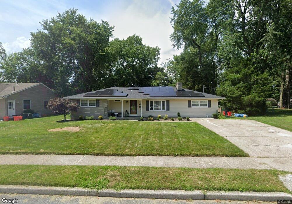
311 Vassar Ave Stratford, NJ 08084
Estimated Value: $286,968 - $348,000
--
Bed
--
Bath
1,778
Sq Ft
$185/Sq Ft
Est. Value
About This Home
This home is located at 311 Vassar Ave, Stratford, NJ 08084 and is currently estimated at $328,492, approximately $184 per square foot. 311 Vassar Ave is a home located in Camden County with nearby schools including Parkview Elementary School, Samuel S. Yellin School, and Sterling High School.
Ownership History
Date
Name
Owned For
Owner Type
Purchase Details
Closed on
Nov 26, 1996
Sold by
Modrzewski Kazimiera
Bought by
Phillips David and Herts Tina
Current Estimated Value
Home Financials for this Owner
Home Financials are based on the most recent Mortgage that was taken out on this home.
Original Mortgage
$80,000
Outstanding Balance
$8,227
Interest Rate
7.83%
Estimated Equity
$320,265
Create a Home Valuation Report for This Property
The Home Valuation Report is an in-depth analysis detailing your home's value as well as a comparison with similar homes in the area
Home Values in the Area
Average Home Value in this Area
Purchase History
| Date | Buyer | Sale Price | Title Company |
|---|---|---|---|
| Phillips David | $89,000 | -- |
Source: Public Records
Mortgage History
| Date | Status | Borrower | Loan Amount |
|---|---|---|---|
| Open | Phillips David | $80,000 |
Source: Public Records
Tax History Compared to Growth
Tax History
| Year | Tax Paid | Tax Assessment Tax Assessment Total Assessment is a certain percentage of the fair market value that is determined by local assessors to be the total taxable value of land and additions on the property. | Land | Improvement |
|---|---|---|---|---|
| 2025 | $7,163 | $147,600 | $43,100 | $104,500 |
| 2024 | $6,822 | $147,600 | $43,100 | $104,500 |
| 2023 | $6,822 | $147,600 | $43,100 | $104,500 |
| 2022 | $6,877 | $147,600 | $43,100 | $104,500 |
| 2021 | $6,645 | $147,600 | $43,100 | $104,500 |
| 2020 | $6,534 | $147,600 | $43,100 | $104,500 |
| 2019 | $6,530 | $147,600 | $43,100 | $104,500 |
| 2018 | $6,334 | $147,600 | $43,100 | $104,500 |
| 2017 | $6,255 | $147,600 | $43,100 | $104,500 |
| 2016 | $6,063 | $147,600 | $43,100 | $104,500 |
| 2015 | $5,965 | $147,600 | $43,100 | $104,500 |
| 2014 | $5,799 | $147,600 | $43,100 | $104,500 |
Source: Public Records
Map
Nearby Homes
- 7 Wright Ave
- 18 Yale Ave
- 8 Pennsylvania Ave
- 113 Harvard Ave
- 121 Union Ave
- 401 S Browning Ave
- 120 Webster Ave
- 401 N Atlantic Ave E
- 505 N Atlantic Ave E
- 123 Dartmouth Ave
- 3 Jefferson Ave
- 21 Hiawatha Rd
- 1100 Rural Ave
- 804 S Burnt Mill Rd
- 5 C Sunnybrook Rd Unit C
- 67 Minnetonka Rd
- 1800 S Burnt Mill Rd
- 1135 Gibbsboro Rd
- 9 N Hilltop Ave
- 218 E Somerdale Rd
- 315 Vassar Ave
- 309 Vassar Ave
- 16 Cornell Ave
- 18 Cornell Ave
- 10 Cornell Ave
- 310 Vassar Ave
- 314 Vassar Ave
- 319 Vassar Ave
- 303 Vassar Ave
- 306 Vassar Ave
- 316 Vassar Ave
- 2 Cornell Ave
- 401 Kirkwood Ave
- 32 Cornell Ave
- 304 Vassar Ave
- 320 Vassar Ave
- 302 Vassar Ave
- 15 Cornell Ave
- 13 Cornell Ave
- 404 N White Horse Pike