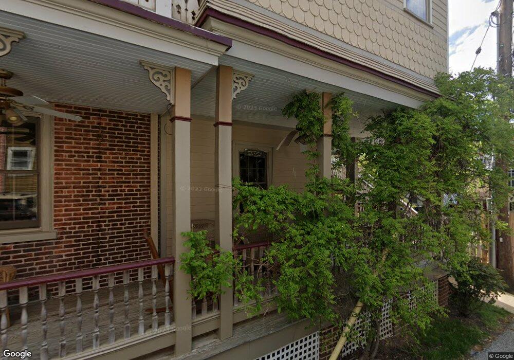
311 W Miner St West Chester, PA 19382
Estimated Value: $555,481 - $1,009,000
1
Bed
2
Baths
600
Sq Ft
$1,331/Sq Ft
Est. Value
About This Home
This home is located at 311 W Miner St, West Chester, PA 19382 and is currently estimated at $798,370, approximately $1,330 per square foot. 311 W Miner St is a home located in Chester County with nearby schools including Hillsdale Elementary School, Stetson Middle School, and Bayard Rustin High School.
Ownership History
Date
Name
Owned For
Owner Type
Purchase Details
Closed on
Apr 18, 2014
Sold by
Flynn Bernard J
Bought by
Flynn Bernard J and Coffey Kathleen Mary
Current Estimated Value
Purchase Details
Closed on
Oct 23, 2000
Sold by
Filetti Daniel G and Filetti Linda
Bought by
Flynn Bernard J
Home Financials for this Owner
Home Financials are based on the most recent Mortgage that was taken out on this home.
Original Mortgage
$95,000
Outstanding Balance
$34,422
Interest Rate
7.83%
Mortgage Type
Commercial
Estimated Equity
$763,948
Purchase Details
Closed on
May 17, 1996
Sold by
Filetti Daniel G and Filetti Linda
Bought by
Filetti Daniel G and Filetti Linda
Home Financials for this Owner
Home Financials are based on the most recent Mortgage that was taken out on this home.
Original Mortgage
$96,950
Interest Rate
8.01%
Mortgage Type
Commercial
Create a Home Valuation Report for This Property
The Home Valuation Report is an in-depth analysis detailing your home's value as well as a comparison with similar homes in the area
Home Values in the Area
Average Home Value in this Area
Purchase History
| Date | Buyer | Sale Price | Title Company |
|---|---|---|---|
| Flynn Bernard J | -- | None Available | |
| Flynn Bernard J | $191,000 | Fidelity National Title Ins | |
| Filetti Daniel G | -- | -- |
Source: Public Records
Mortgage History
| Date | Status | Borrower | Loan Amount |
|---|---|---|---|
| Open | Flynn Bernard J | $95,000 | |
| Previous Owner | Filetti Daniel G | $96,950 |
Source: Public Records
Tax History Compared to Growth
Tax History
| Year | Tax Paid | Tax Assessment Tax Assessment Total Assessment is a certain percentage of the fair market value that is determined by local assessors to be the total taxable value of land and additions on the property. | Land | Improvement |
|---|---|---|---|---|
| 2025 | $5,015 | $142,970 | $34,560 | $108,410 |
| 2024 | $5,015 | $142,970 | $34,560 | $108,410 |
| 2023 | $4,959 | $142,970 | $34,560 | $108,410 |
| 2022 | $4,906 | $142,970 | $34,560 | $108,410 |
| 2021 | $4,806 | $142,970 | $34,560 | $108,410 |
| 2020 | $4,717 | $142,970 | $34,560 | $108,410 |
| 2019 | $4,661 | $142,970 | $34,560 | $108,410 |
| 2018 | $4,452 | $139,060 | $34,560 | $104,500 |
| 2017 | $4,370 | $139,060 | $34,560 | $104,500 |
| 2016 | $2,965 | $139,060 | $34,560 | $104,500 |
| 2015 | $2,965 | $139,060 | $34,560 | $104,500 |
| 2014 | $2,965 | $139,060 | $34,560 | $104,500 |
Source: Public Records
Map
Nearby Homes
- 19 S New St
- 401 W Barnard St
- 26 W Miner St
- 433 W Gay St
- 122 W Union St
- 235 Dean St
- 443 W Gay St
- 110 S High St
- 418 Hannum Ave
- 228 Dean St
- 303 W Washington St
- 303 S Church St
- 506 Raymond Dr Unit 4
- 523 Raymond Dr Unit 46
- 116 Price St
- 145 E Miner St
- 305 S Walnut St
- 110 S Matlack St
- 112 S Matlack St
- 305 S Matlack St