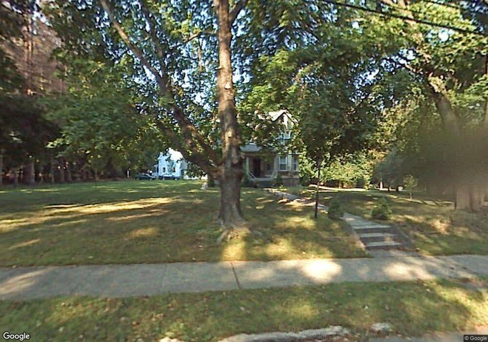
311 Wooster St New Britain, CT 06052
Estimated Value: $435,000 - $448,806
5
Beds
3
Baths
2,481
Sq Ft
$178/Sq Ft
Est. Value
About This Home
This home is located at 311 Wooster St, New Britain, CT 06052 and is currently estimated at $440,952, approximately $177 per square foot. 311 Wooster St is a home located in Hartford County with nearby schools including Lincoln School, Slade Middle School, and Raymond Hill School.
Ownership History
Date
Name
Owned For
Owner Type
Purchase Details
Closed on
Nov 1, 2021
Sold by
Chapdelaine John J
Bought by
Chapdelaine John J and Chapdelaine Jennifer L
Current Estimated Value
Purchase Details
Closed on
May 23, 2012
Sold by
Chapdelaine Mary B
Bought by
Chapdelaine John J
Purchase Details
Closed on
Oct 20, 2005
Sold by
Maccarane Francesco A
Bought by
Chapdelaine John J and Chapdelaine Marybeth
Home Financials for this Owner
Home Financials are based on the most recent Mortgage that was taken out on this home.
Original Mortgage
$239,920
Interest Rate
5.72%
Purchase Details
Closed on
Jan 15, 1999
Sold by
Fhlmc
Bought by
Maccarone Francesco A
Home Financials for this Owner
Home Financials are based on the most recent Mortgage that was taken out on this home.
Original Mortgage
$50,000
Interest Rate
6.75%
Purchase Details
Closed on
Mar 13, 1997
Sold by
Wilson Margaret E
Bought by
Turner Bill John and Turner Sandra Kay
Create a Home Valuation Report for This Property
The Home Valuation Report is an in-depth analysis detailing your home's value as well as a comparison with similar homes in the area
Home Values in the Area
Average Home Value in this Area
Purchase History
| Date | Buyer | Sale Price | Title Company |
|---|---|---|---|
| Chapdelaine John J | -- | None Available | |
| Chapdelaine John J | -- | -- | |
| Chapdelaine John J | $299,900 | -- | |
| Maccarone Francesco A | $69,900 | -- | |
| Turner Bill John | $119,000 | -- |
Source: Public Records
Mortgage History
| Date | Status | Borrower | Loan Amount |
|---|---|---|---|
| Previous Owner | Turner Bill John | $232,000 | |
| Previous Owner | Turner Bill John | $239,920 | |
| Previous Owner | Turner Bill John | $50,000 |
Source: Public Records
Tax History Compared to Growth
Tax History
| Year | Tax Paid | Tax Assessment Tax Assessment Total Assessment is a certain percentage of the fair market value that is determined by local assessors to be the total taxable value of land and additions on the property. | Land | Improvement |
|---|---|---|---|---|
| 2025 | $8,653 | $220,850 | $79,660 | $141,190 |
| 2024 | $8,743 | $220,850 | $79,660 | $141,190 |
| 2023 | $8,454 | $220,850 | $79,660 | $141,190 |
| 2022 | $7,571 | $152,950 | $36,680 | $116,270 |
| 2021 | $7,571 | $152,950 | $36,680 | $116,270 |
| 2020 | $7,724 | $152,950 | $36,680 | $116,270 |
| 2019 | $7,724 | $152,950 | $36,680 | $116,270 |
| 2018 | $7,724 | $152,950 | $36,680 | $116,270 |
| 2017 | $7,933 | $157,080 | $37,380 | $119,700 |
| 2016 | $7,933 | $157,080 | $37,380 | $119,700 |
| 2015 | $7,697 | $157,080 | $37,380 | $119,700 |
| 2014 | $7,697 | $157,080 | $37,380 | $119,700 |
Source: Public Records
Map
Nearby Homes
- 236 Garry Dr
- 78 May St
- 84 May St
- 149 Pennsylvania Ave Unit 151
- 33 Colt St
- 28 Weigands Dr
- 817 W Main St
- 145 Reservoir Rd
- 80 N Mountain Rd Unit B
- 30 Westerly St
- 43 Westerly St
- 65 Torkom Dr
- 42 Fairlane Dr
- 300 Lincoln St
- 367 Lincoln St
- 112 Lincoln St
- 423 Monroe St
- 66 Lincoln St
- 58 Forshaw Ave
- 1467 Corbin Ave