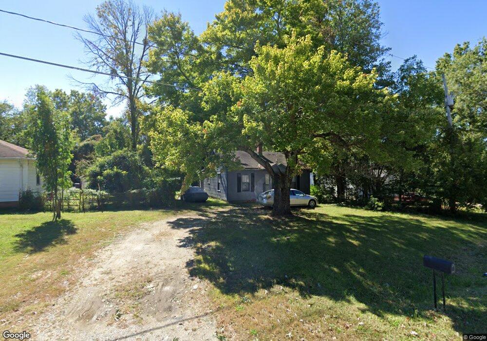
3110 Central Ave High Point, NC 27260
Greater High Point NeighborhoodEstimated Value: $96,670 - $139,000
2
Beds
1
Bath
824
Sq Ft
$134/Sq Ft
Est. Value
About This Home
This home is located at 3110 Central Ave, High Point, NC 27260 and is currently estimated at $110,418, approximately $134 per square foot. 3110 Central Ave is a home located in Guilford County with nearby schools including Union Hill Elementary School, Jamestown Middle School, and Ragsdale High School.
Ownership History
Date
Name
Owned For
Owner Type
Purchase Details
Closed on
Oct 29, 2019
Sold by
Cranford Jason
Bought by
R & T Elite Property Group Llc
Current Estimated Value
Purchase Details
Closed on
Dec 20, 2000
Sold by
Mark Embry Randall and Mark Joanne R
Bought by
Cranford Jason
Home Financials for this Owner
Home Financials are based on the most recent Mortgage that was taken out on this home.
Original Mortgage
$30,000
Interest Rate
7.72%
Mortgage Type
Seller Take Back
Create a Home Valuation Report for This Property
The Home Valuation Report is an in-depth analysis detailing your home's value as well as a comparison with similar homes in the area
Home Values in the Area
Average Home Value in this Area
Purchase History
| Date | Buyer | Sale Price | Title Company |
|---|---|---|---|
| R & T Elite Property Group Llc | $8,000 | None Available | |
| Cranford Jason | $35,000 | -- |
Source: Public Records
Mortgage History
| Date | Status | Borrower | Loan Amount |
|---|---|---|---|
| Previous Owner | Cranford Jason | $30,000 |
Source: Public Records
Tax History Compared to Growth
Tax History
| Year | Tax Paid | Tax Assessment Tax Assessment Total Assessment is a certain percentage of the fair market value that is determined by local assessors to be the total taxable value of land and additions on the property. | Land | Improvement |
|---|---|---|---|---|
| 2025 | $598 | $43,400 | $14,000 | $29,400 |
| 2024 | $598 | $43,400 | $14,000 | $29,400 |
| 2023 | $598 | $43,400 | $14,000 | $29,400 |
| 2022 | $585 | $43,400 | $14,000 | $29,400 |
| 2021 | $407 | $29,500 | $11,000 | $18,500 |
| 2020 | $407 | $29,500 | $11,000 | $18,500 |
| 2019 | $407 | $29,500 | $0 | $0 |
| 2018 | $404 | $29,500 | $0 | $0 |
| 2017 | $407 | $29,500 | $0 | $0 |
| 2016 | $459 | $32,700 | $0 | $0 |
| 2015 | $461 | $32,700 | $0 | $0 |
| 2014 | $469 | $32,700 | $0 | $0 |
Source: Public Records
Map
Nearby Homes
- 930 & 928 R1 Marlboro St
- 3304 Central Ave
- 928 Marlboro St
- 3003 #REAR Oakcrest Ave
- 627 Spring Garden Cir
- 404 Hickory Chapel Rd
- 901 Hickory Chapel Rd
- 2305 Delaware Place
- 3110 Wayne Ave
- 737 Hendrix St
- 709 Habersham Rd
- 735 Hendrix St
- 1900-1922 Baker Rd
- 615 Hendrix St
- 430 New St
- 3011 Colony Dr
- 2317 Purdy Ave
- 2313 Purdy Ave
- 601 Runyon Dr
- 509 Valleybrook Dr
- 904 Marlboro St
- 3108 Central Ave
- 930 Marlboro St
- 928 #R1 Marlboro St
- 3106 Central Ave
- 910 Marlboro St
- 912 Marlboro St
- 3200 Central Ave
- 3115 Central Ave
- 3107 Central Ave
- 909 Marlboro St
- 3201 Central Ave
- 916 Marlboro St
- 3204 Central Ave
- 3111 Central Ave
- 3111 Central Ave Unit B
- 911 Marlboro St
- 3205 Central Ave
- 915 Marlboro St
- 918 Marlboro St