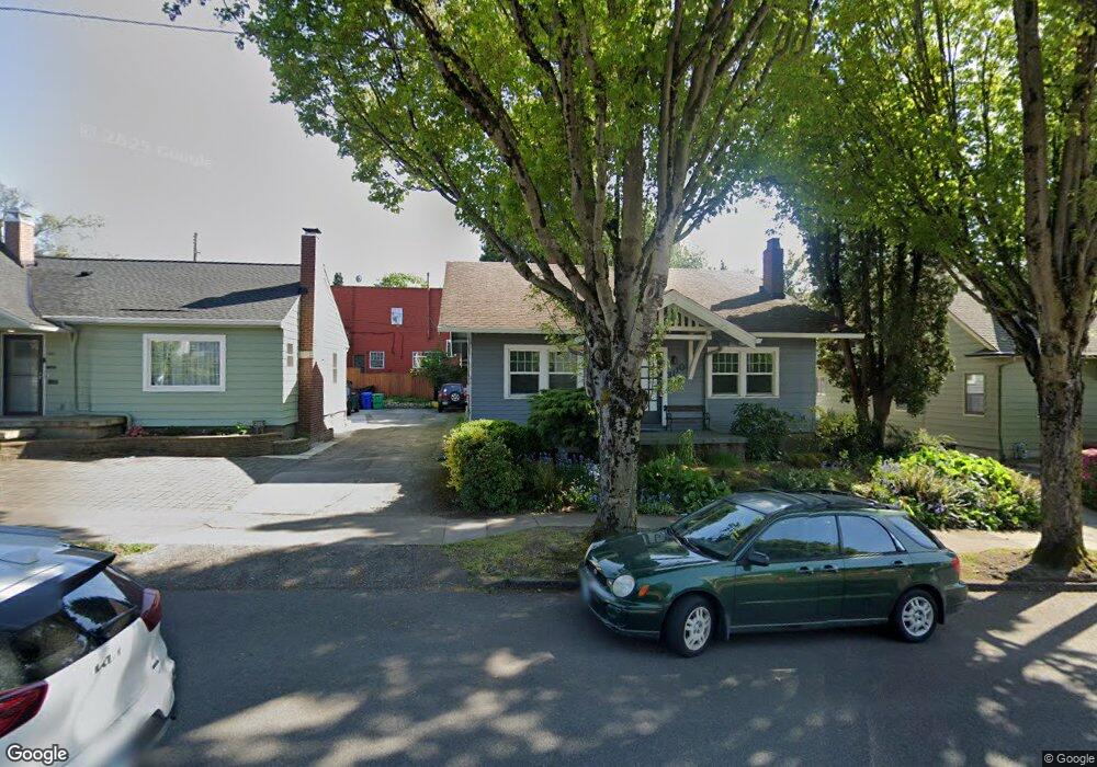
3110 E Burnside St Portland, OR 97214
Kerns NeighborhoodEstimated Value: $606,000 - $687,000
3
Beds
1
Bath
2,200
Sq Ft
$296/Sq Ft
Est. Value
About This Home
This home is located at 3110 E Burnside St, Portland, OR 97214 and is currently estimated at $650,667, approximately $295 per square foot. 3110 E Burnside St is a home located in Multnomah County with nearby schools including Sunnyside Environmental School, Franklin High School, and Le Monde French Immersion Public Charter School.
Ownership History
Date
Name
Owned For
Owner Type
Purchase Details
Closed on
Nov 24, 2020
Sold by
Houlemard Keith
Bought by
G Squared Group Llc
Current Estimated Value
Purchase Details
Closed on
Aug 25, 2008
Sold by
Hunt Betty G
Bought by
Houlemard Keith
Home Financials for this Owner
Home Financials are based on the most recent Mortgage that was taken out on this home.
Original Mortgage
$260,000
Interest Rate
6.27%
Mortgage Type
Purchase Money Mortgage
Create a Home Valuation Report for This Property
The Home Valuation Report is an in-depth analysis detailing your home's value as well as a comparison with similar homes in the area
Home Values in the Area
Average Home Value in this Area
Purchase History
| Date | Buyer | Sale Price | Title Company |
|---|---|---|---|
| G Squared Group Llc | -- | None Available | |
| Houlemard Keith | $325,000 | Fidelity Natl Title Co Of Or |
Source: Public Records
Mortgage History
| Date | Status | Borrower | Loan Amount |
|---|---|---|---|
| Previous Owner | Houlemard Keith | $260,000 |
Source: Public Records
Tax History Compared to Growth
Tax History
| Year | Tax Paid | Tax Assessment Tax Assessment Total Assessment is a certain percentage of the fair market value that is determined by local assessors to be the total taxable value of land and additions on the property. | Land | Improvement |
|---|---|---|---|---|
| 2024 | $6,423 | $240,050 | -- | -- |
| 2023 | $6,176 | $233,060 | $0 | $0 |
| 2022 | $6,042 | $226,280 | $0 | $0 |
| 2021 | $5,940 | $219,690 | $0 | $0 |
| 2020 | $5,449 | $213,300 | $0 | $0 |
| 2019 | $5,249 | $207,090 | $0 | $0 |
| 2018 | $5,094 | $201,060 | $0 | $0 |
| 2017 | $4,883 | $195,210 | $0 | $0 |
Source: Public Records
Map
Nearby Homes
- 130 SE 31st Ave Unit 6
- 117 SE 30th Place
- 121 SE 30th Place Unit 127
- 215 NE 30th Ave Unit 217
- 2936 NE Everett St
- 3360 SE Ankeny St
- 2947 SE Stark St
- 2712 SE Ash St
- 2953 NE Glisan St
- 2736 SE Stark St
- 3603 SE Stark St
- 716 SE 33rd Place
- 727 SE 33rd Place Unit 21
- 712 SE 33rd Ave Unit 12
- 3324 NE Oregon St
- 3632 SE Washington St
- 638 SE 26th Ave
- 623 NE Randall Ave
- 2342 SE Ankeny St
- 621 NE Randall Ave
- 3100 E Burnside St
- 3120 E Burnside St
- 3088 E Burnside St
- 3101 SE Ankeny St Unit 3109
- 3136 E Burnside St
- 3117 SE Ankeny St
- 3129 SE Ankeny St
- 3129 SE Ankeny St Unit B
- 3076 E Burnside St
- 3087 SE Ankeny St Unit 6
- 3087 SE Ankeny St Unit 5
- 3087 SE Ankeny St
- 3087 SE Ankeny St Units 1-15 Unit s 1-15
- 3135 SE Ankeny St
- 214 NE 31st Ave
- 3115 E Burnside St
- 3068 E Burnside St Unit 3070
- 3125 E Burnside St
- 3141 E Burnside St
- 3067 SE Ankeny St