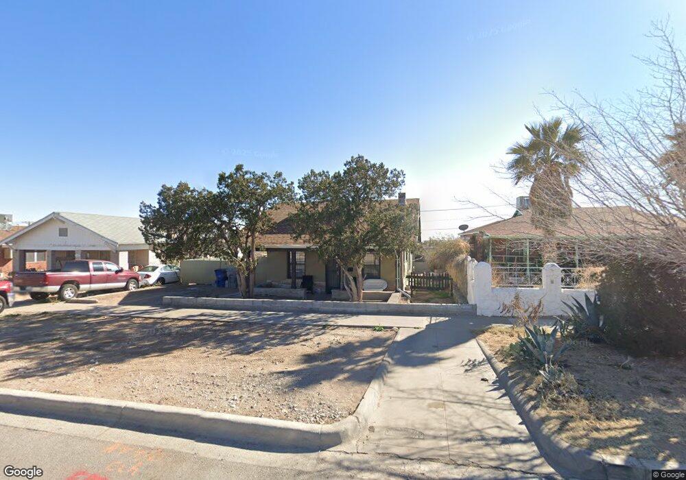
3110 Fort Blvd El Paso, TX 79930
Grandview NeighborhoodEstimated Value: $152,000 - $218,000
2
Beds
1
Bath
775
Sq Ft
$235/Sq Ft
Est. Value
About This Home
This home is located at 3110 Fort Blvd, El Paso, TX 79930 and is currently estimated at $181,932, approximately $234 per square foot. 3110 Fort Blvd is a home located in El Paso County with nearby schools including Rusk Elementary School, Middle School-5 NW Middle, and Austin High School.
Ownership History
Date
Name
Owned For
Owner Type
Purchase Details
Closed on
Jan 4, 2022
Sold by
Lucero Eduardo A and Lucero Martha
Bought by
M & M Property Holdings Llc
Current Estimated Value
Home Financials for this Owner
Home Financials are based on the most recent Mortgage that was taken out on this home.
Original Mortgage
$80,000
Outstanding Balance
$73,730
Interest Rate
3.11%
Mortgage Type
New Conventional
Estimated Equity
$108,202
Purchase Details
Closed on
Oct 17, 2007
Sold by
Atmar Connie and Dallabetta Margie Atmar
Bought by
Lucero Eduardo A and Lucero Martha
Create a Home Valuation Report for This Property
The Home Valuation Report is an in-depth analysis detailing your home's value as well as a comparison with similar homes in the area
Home Values in the Area
Average Home Value in this Area
Purchase History
| Date | Buyer | Sale Price | Title Company |
|---|---|---|---|
| M & M Property Holdings Llc | -- | Raney Steve | |
| Lucero Eduardo A | -- | None Available |
Source: Public Records
Mortgage History
| Date | Status | Borrower | Loan Amount |
|---|---|---|---|
| Open | M & M Property Holdings Llc | $80,000 |
Source: Public Records
Tax History Compared to Growth
Tax History
| Year | Tax Paid | Tax Assessment Tax Assessment Total Assessment is a certain percentage of the fair market value that is determined by local assessors to be the total taxable value of land and additions on the property. | Land | Improvement |
|---|---|---|---|---|
| 2025 | $3,066 | $170,897 | $31,425 | $139,472 |
| 2024 | $3,066 | $118,114 | $31,425 | $86,689 |
| 2023 | $2,974 | $107,506 | $17,079 | $90,427 |
| 2022 | $2,997 | $101,249 | $17,079 | $84,170 |
| 2021 | $2,646 | $84,749 | $17,079 | $67,670 |
| 2020 | $2,140 | $69,610 | $15,594 | $54,016 |
| 2018 | $1,930 | $65,223 | $15,594 | $49,629 |
| 2017 | $1,826 | $64,811 | $15,594 | $49,217 |
| 2016 | $1,985 | $70,468 | $15,594 | $54,874 |
| 2015 | $1,863 | $70,468 | $15,594 | $54,874 |
| 2014 | $1,863 | $68,067 | $15,594 | $52,473 |
Source: Public Records
Map
Nearby Homes
- 3031 Fort Blvd
- 3027 Morehead Ave
- 3125 Hamilton Ave
- 3018 Sacramento Ave
- 2816 N Piedras St
- 2917 Mobile Ave
- 3215 Mobile Ave
- 3904 N Piedras St Unit A-B
- 3427 Hamilton Ave
- 3327 Mobile Ave
- 3510 Porter Ave
- 3021 Monroe Ave
- 3104 Van Buren Ave
- 3606 Morehead Ave
- 3204 Memphis Ave
- 3413 Monroe Ave
- PN-391630 Alabama St
- 3524 Mobile Ave
- 3009 Savannah Ave
- 3038 Tyler Ave
- 3104 Fort Blvd
- 3122 Fort Blvd
- 3100 Fort Blvd
- 3124 Fort Blvd
- 3111 Porter Ave
- 3115 Porter Ave
- 3126 Fort Blvd
- 3101 Porter Ave
- 3117 Porter Ave
- 3128 Fort Blvd
- 3030 Fort Blvd
- 3121 Porter Ave
- 3109 Fort Blvd
- 3113 Fort Blvd
- 3130 Fort Blvd
- 3101 Fort Blvd
- 3119 Fort Blvd
- 3024 Fort Blvd
- 3125 Porter Ave
- 3031 Porter Ave